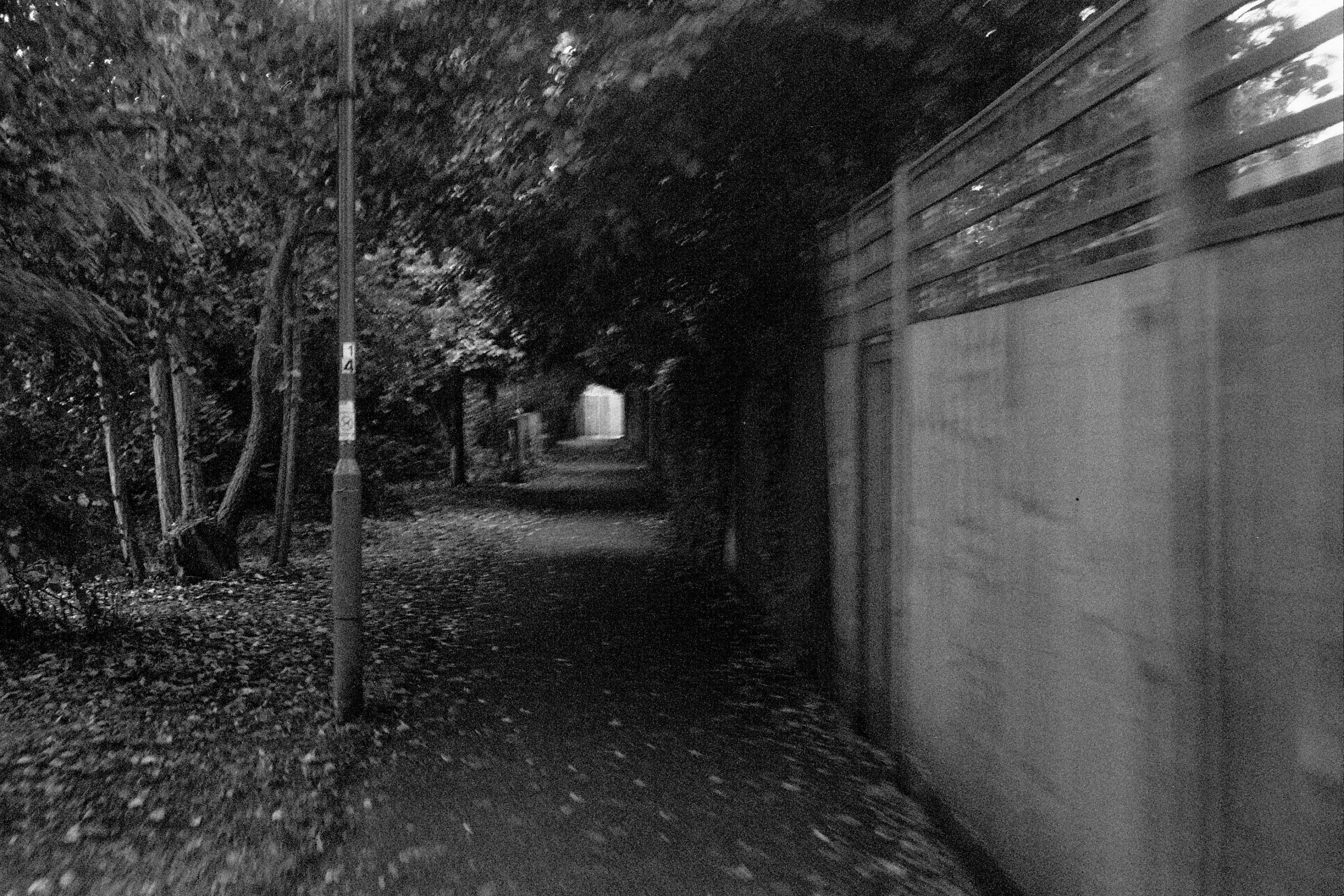
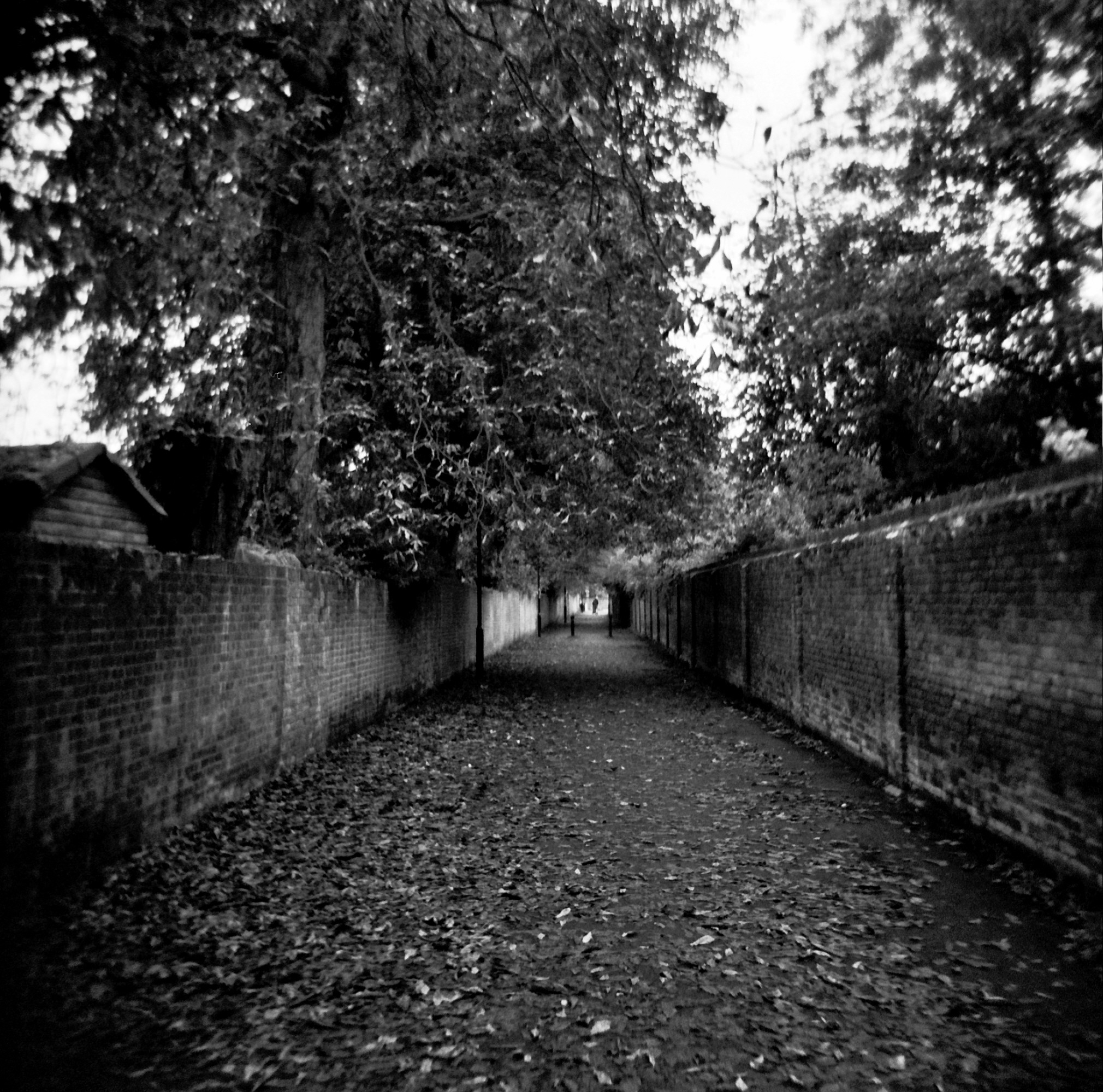
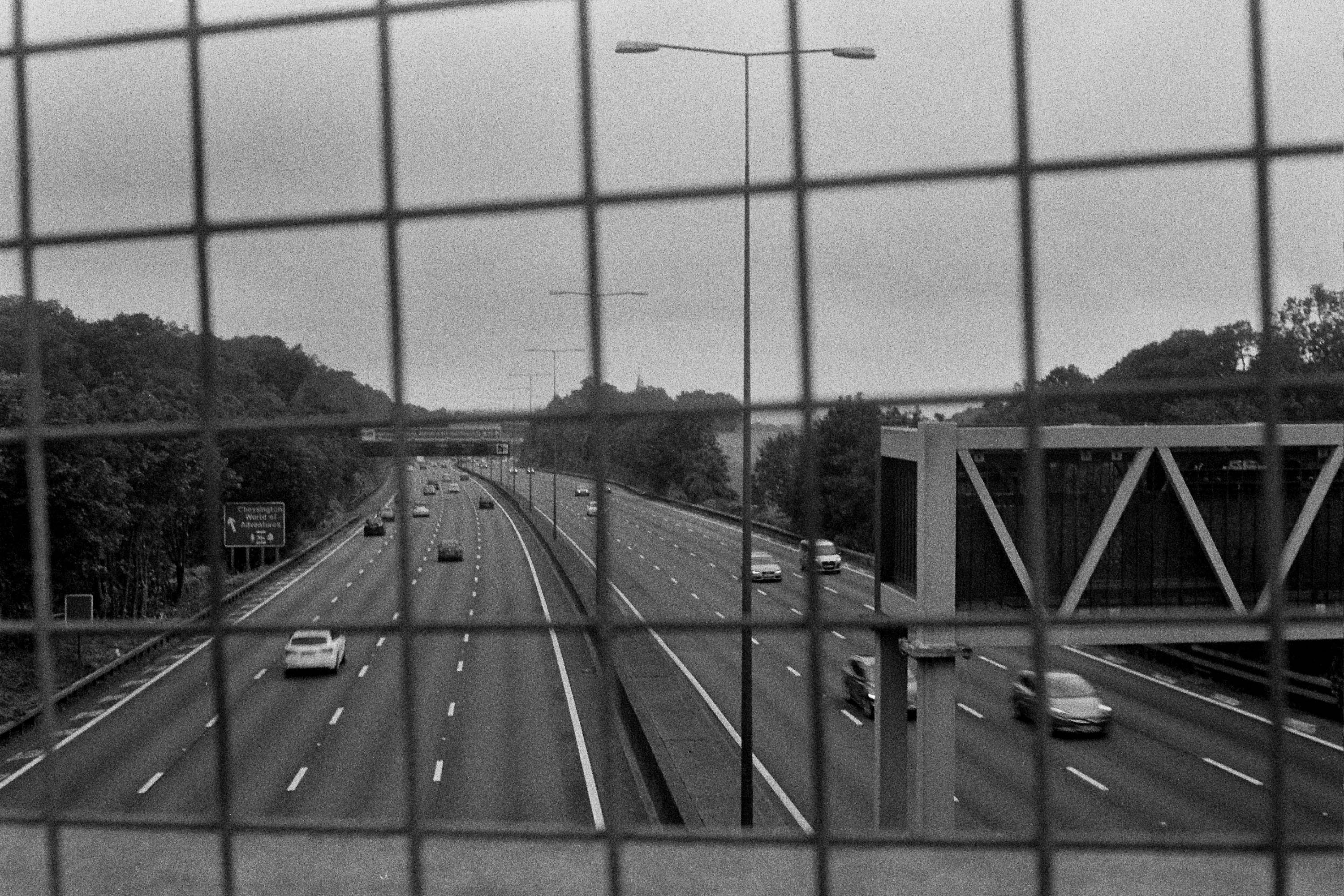
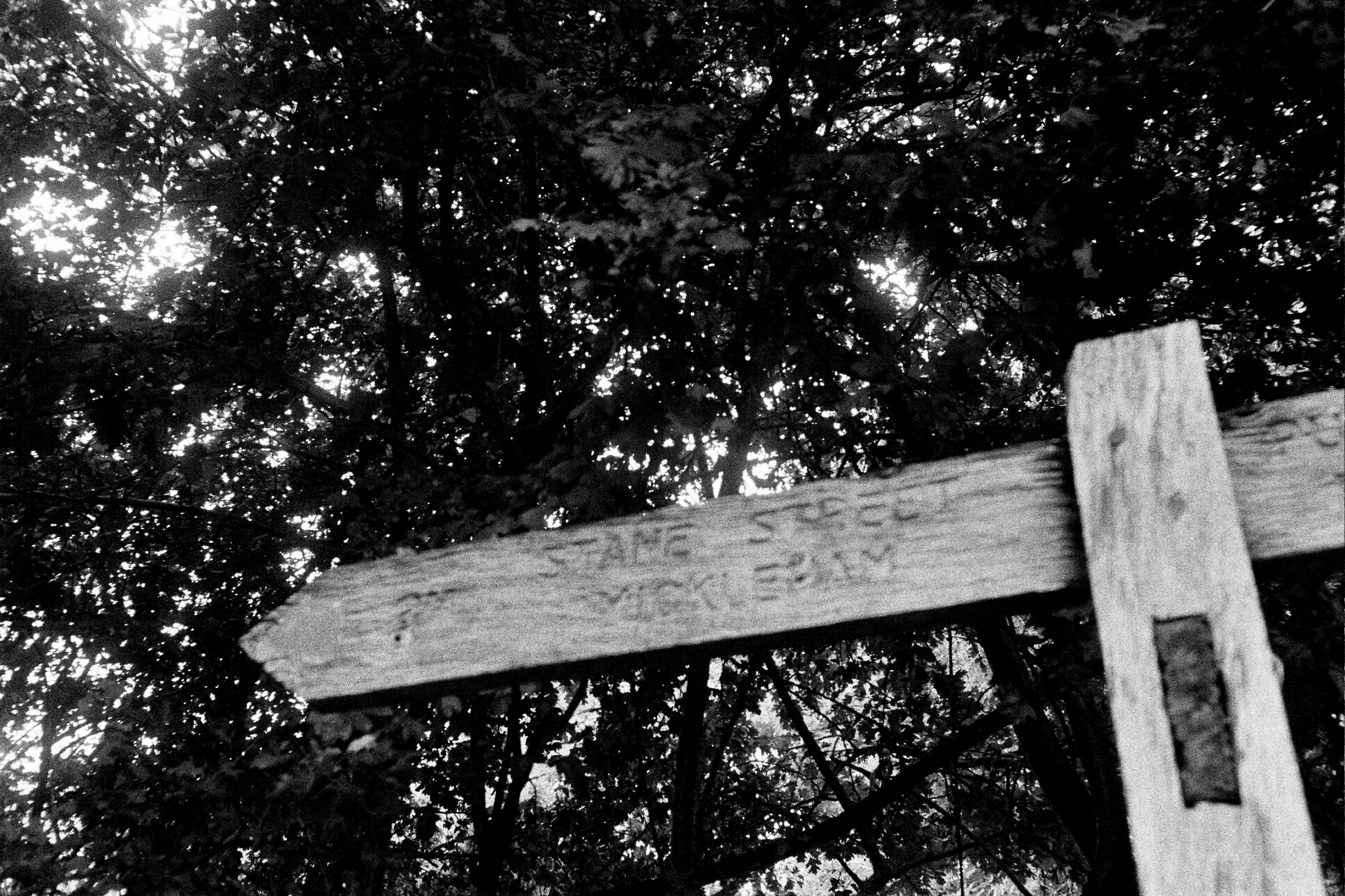
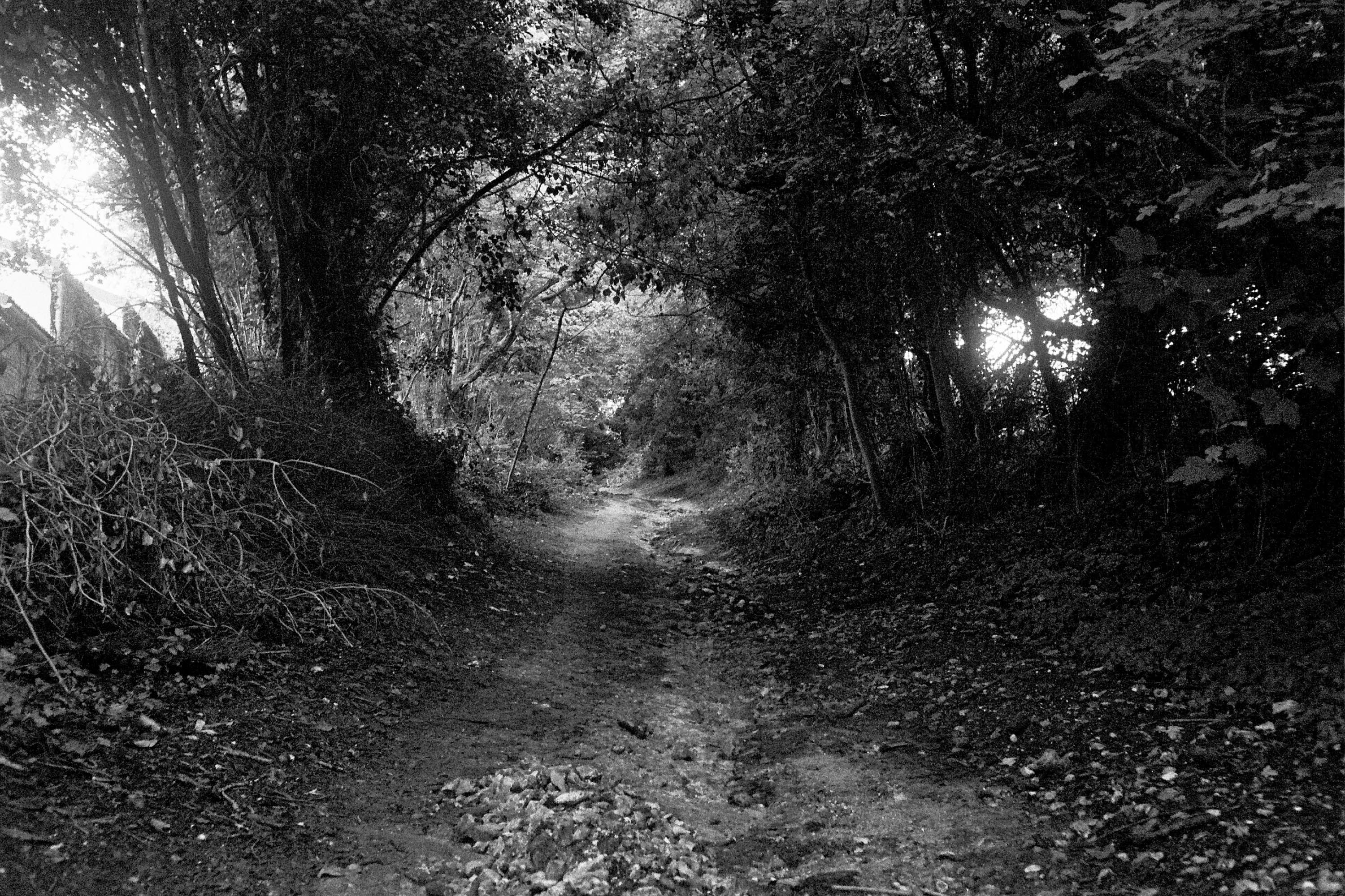
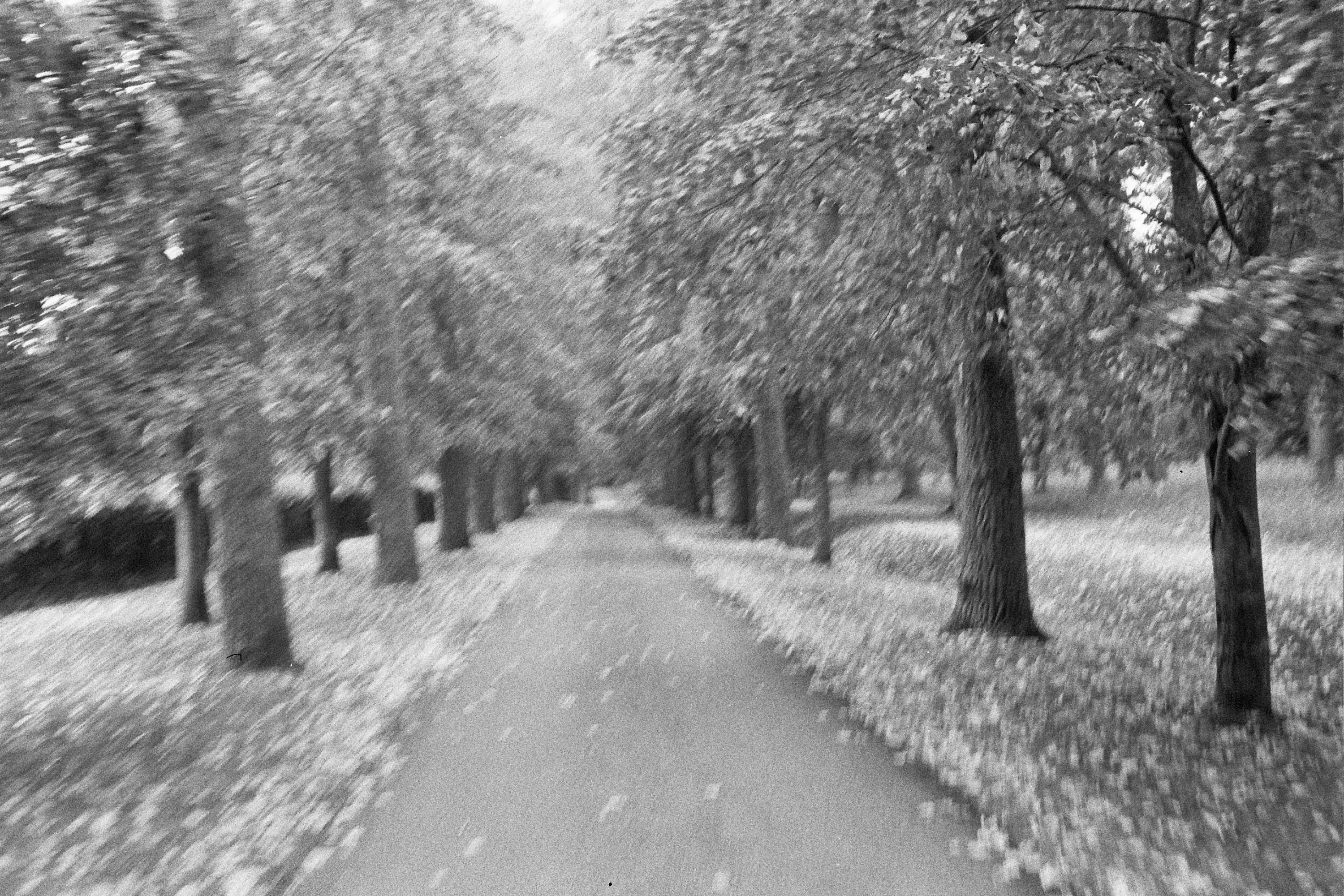
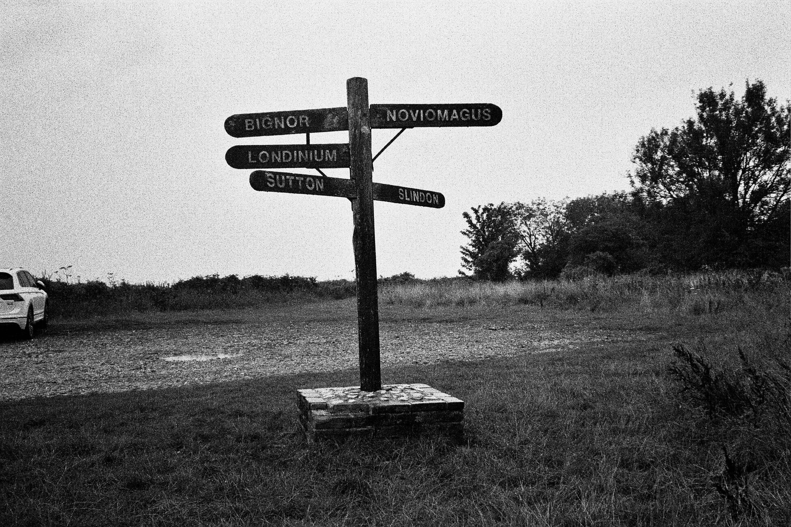
…within a few minutes Cal and I had formed a plan. Route plotting was pretty simple. Stane Street, a Roman road is traced in its entirety on Ordnance Survey maps. It’s pretty much entirely straight so any missing bits can be guessed at. Utilising considerable engineering skills the romans built this road almost 2000 years ago, ostensibly a direct line of communication between London and the military and naval bases at Chichester, or Novimagus Reginorum back then. From the port at Chichester goods were transported back and forth to the capital as well as to and from towns along it’s length, and used by the Cursus Publicus, the postal service of Roman Britain. There is no record of what the Romans called this road, Stane Street was recorded later, derived from an old spelling for stone (from Norse “steinn”).
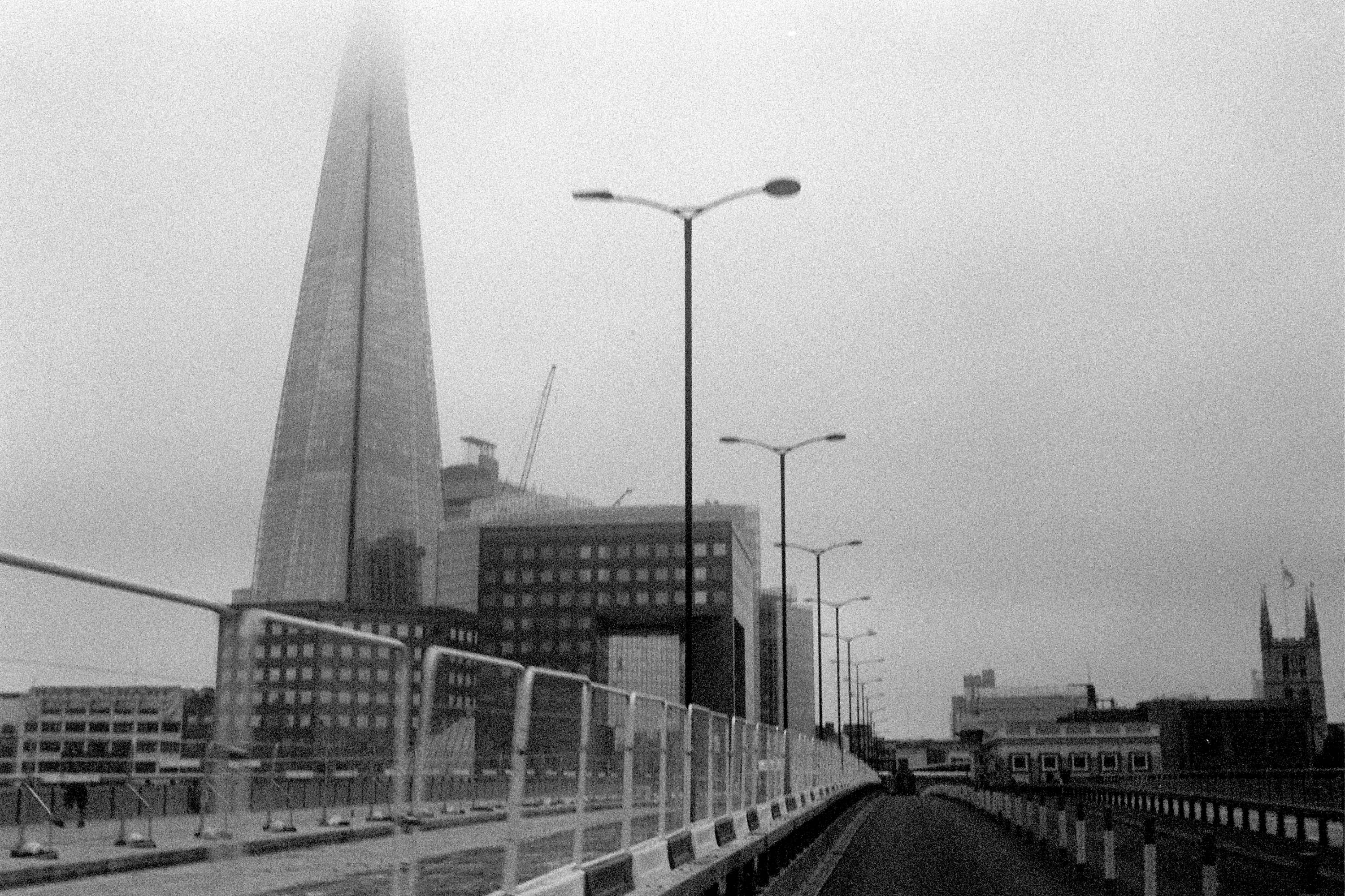
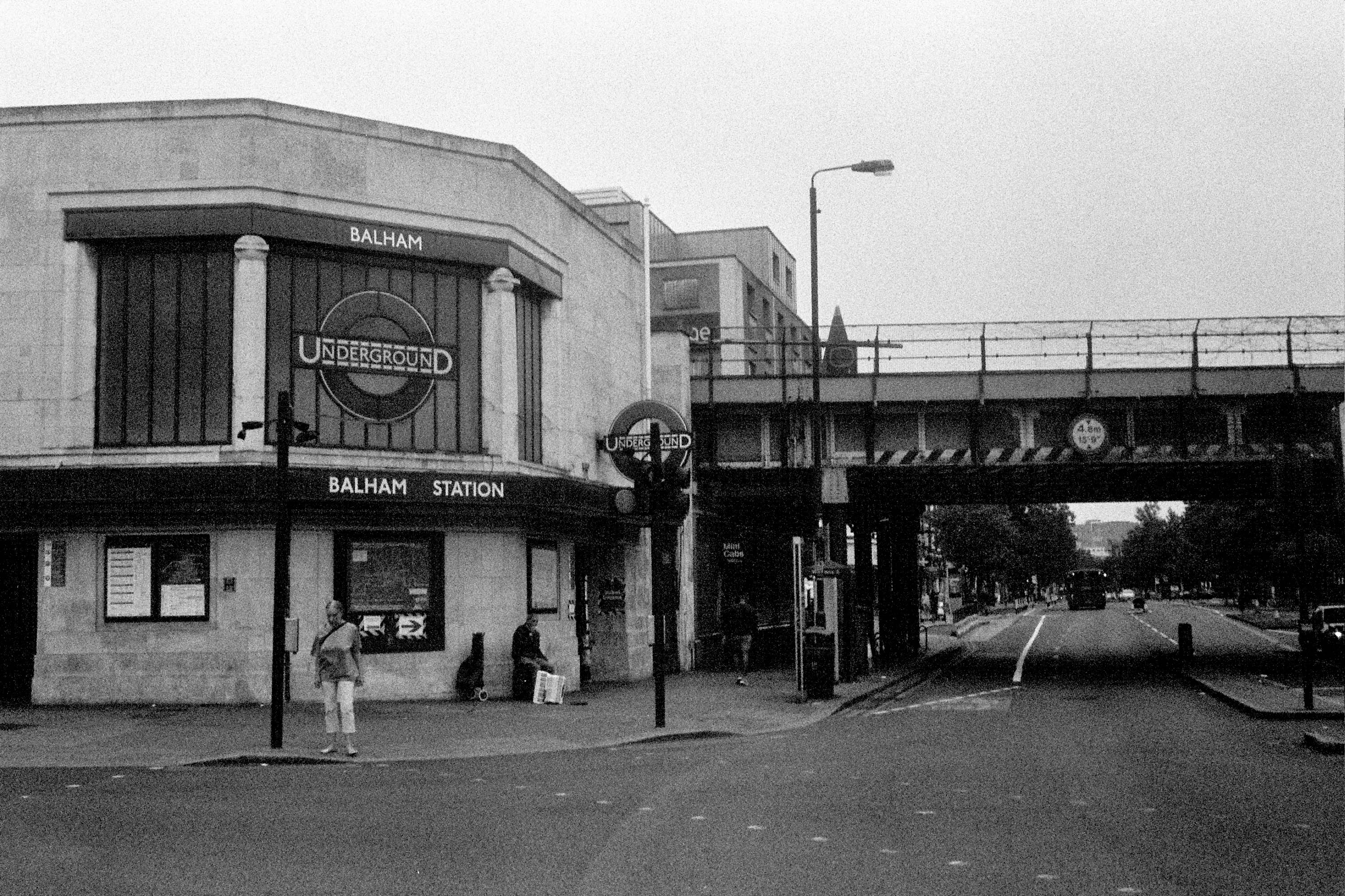
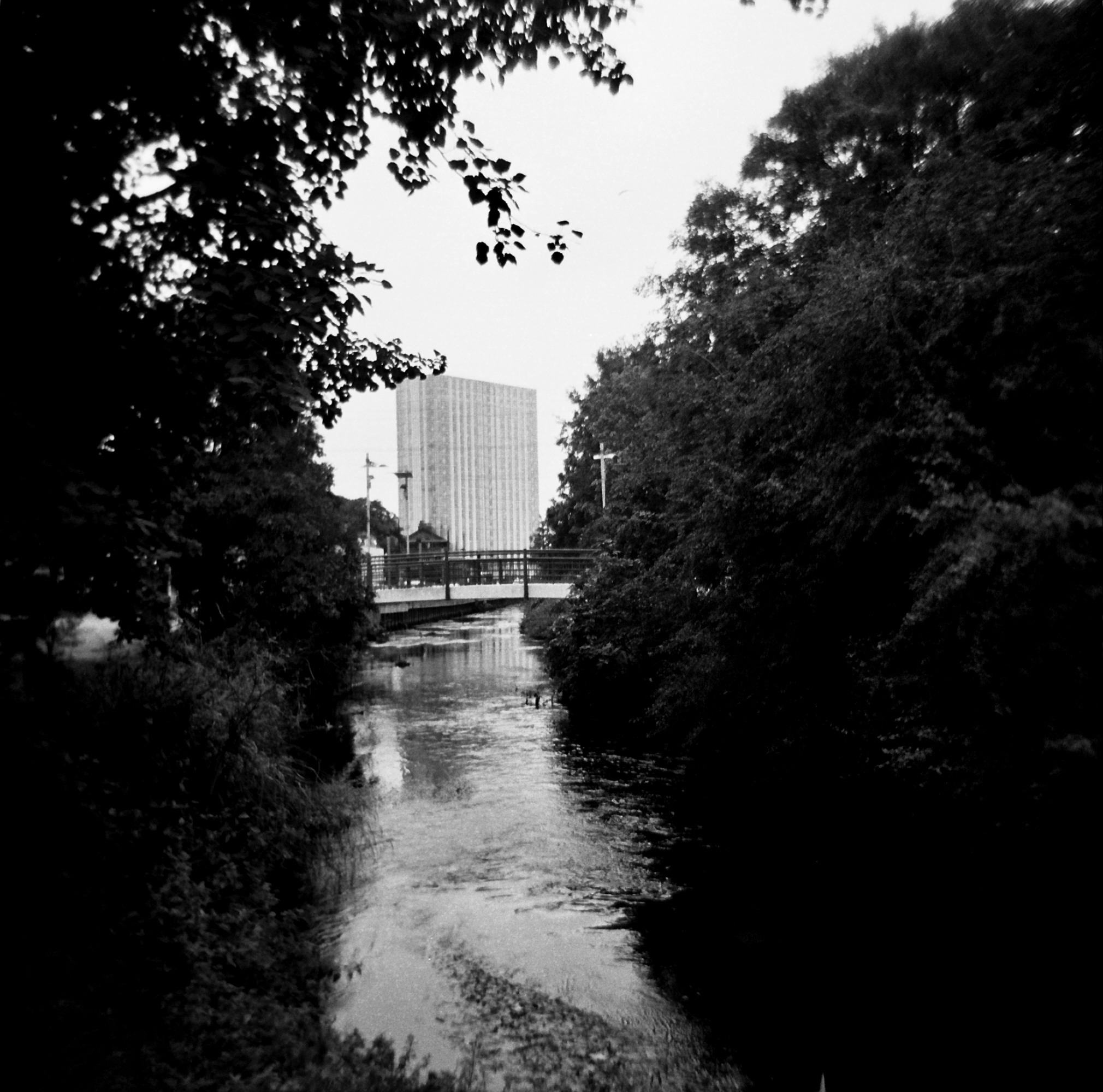
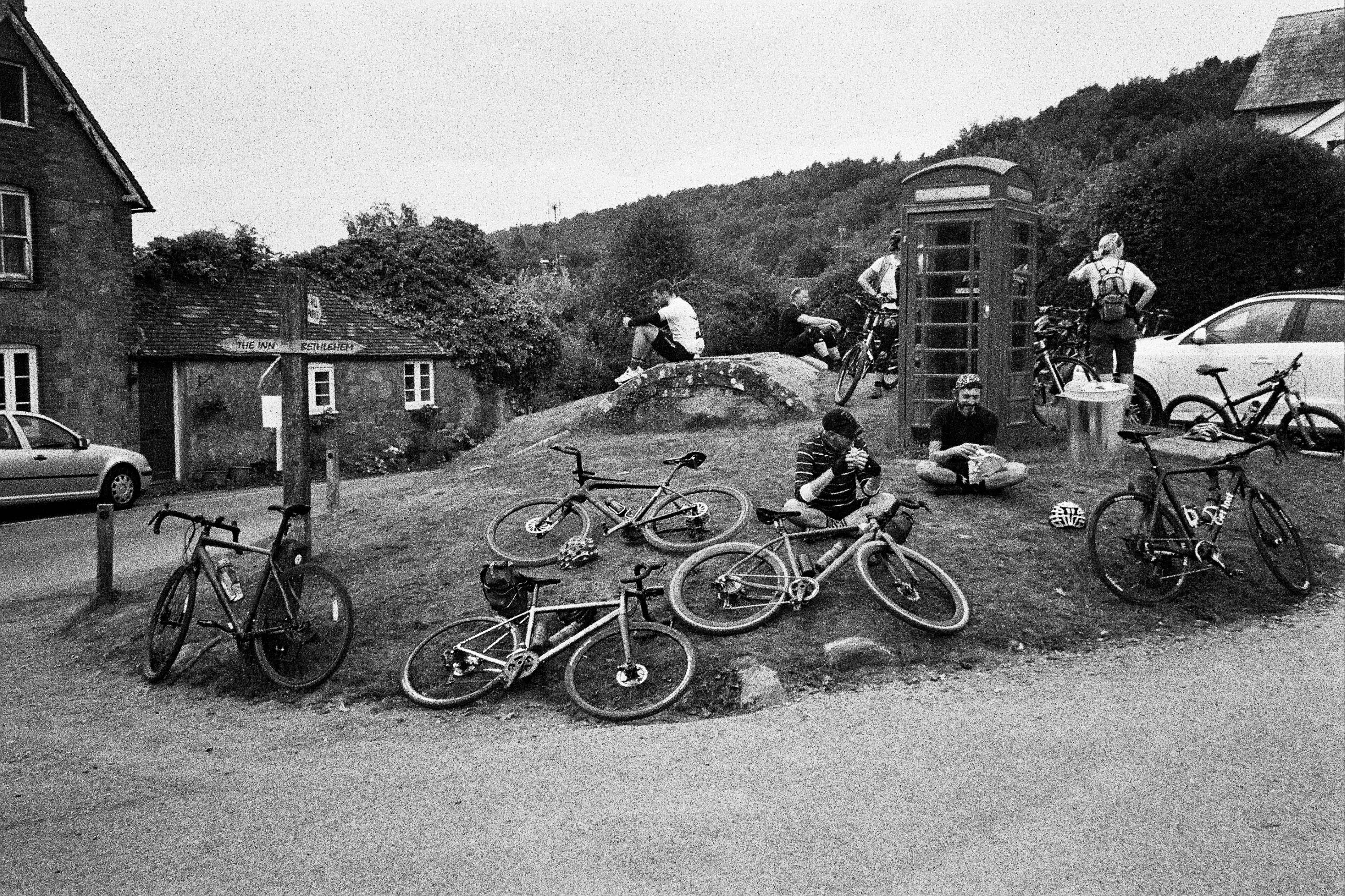
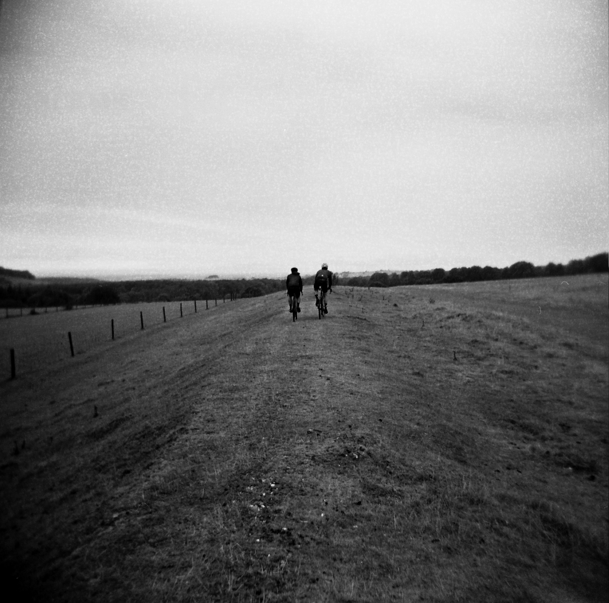
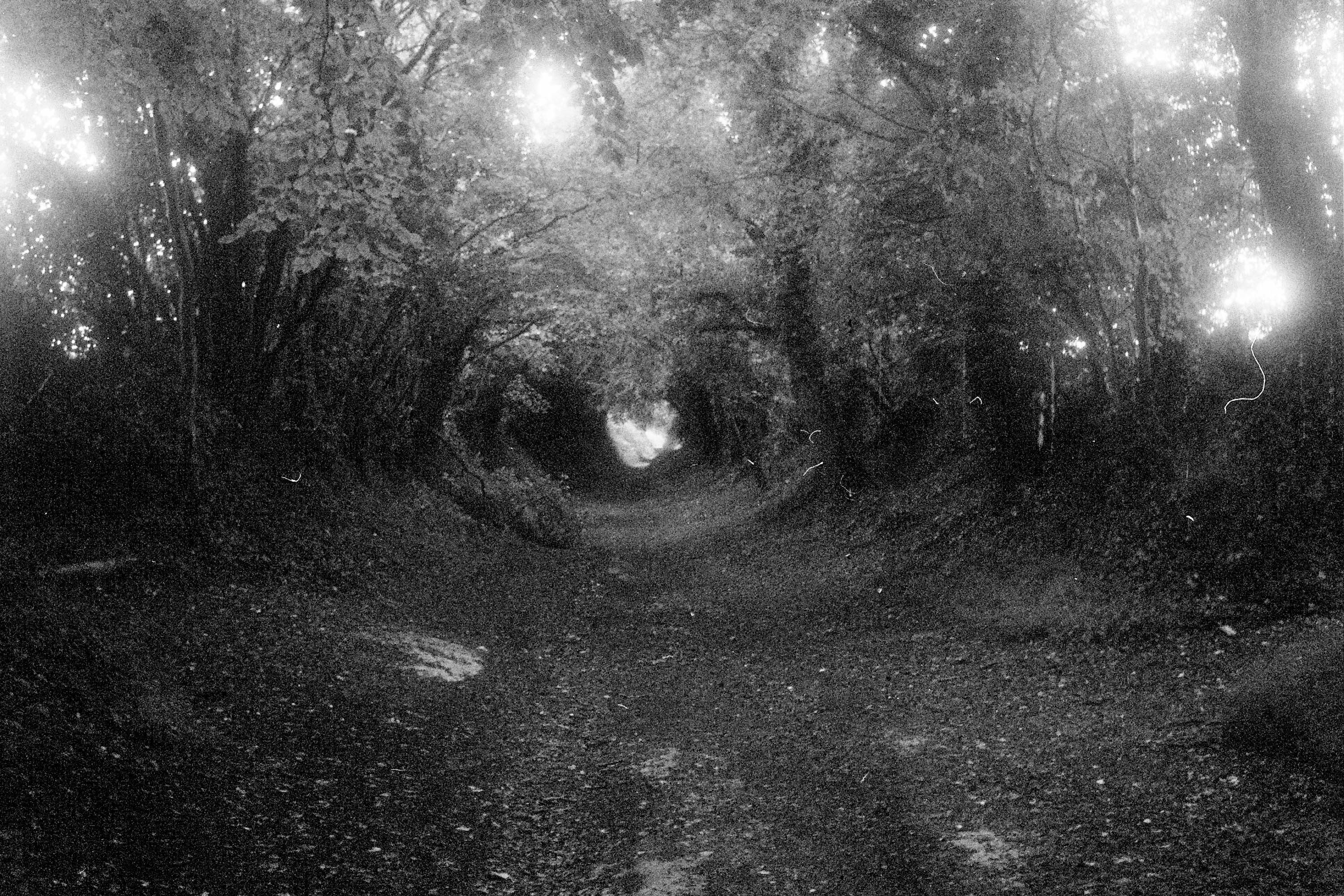
…somewhere along the line i’ve managed to delete the rest of the text and I’m unable to find any saved drafts, so here at the pictures all shot on 35mm and 120 B&W film stock by me and Cal


Leave a comment