As our flight descends over the Atlantic Ocean towards the Spanish coast our quarry is clearly visible from the window, the Picos de Europa piercing distant cloud. Three limestone massifs covering the corners of Asturias, Cantabria and Castilla y León, the Picos are the highest point of the Cordillera Cantábrica, the mountain range that runs the length of northern Spain from the Pyrenees to Galicia. From the plane window it becomes obvious just how high they are, their snowy peaks clearly dwarfing everything else in sight.
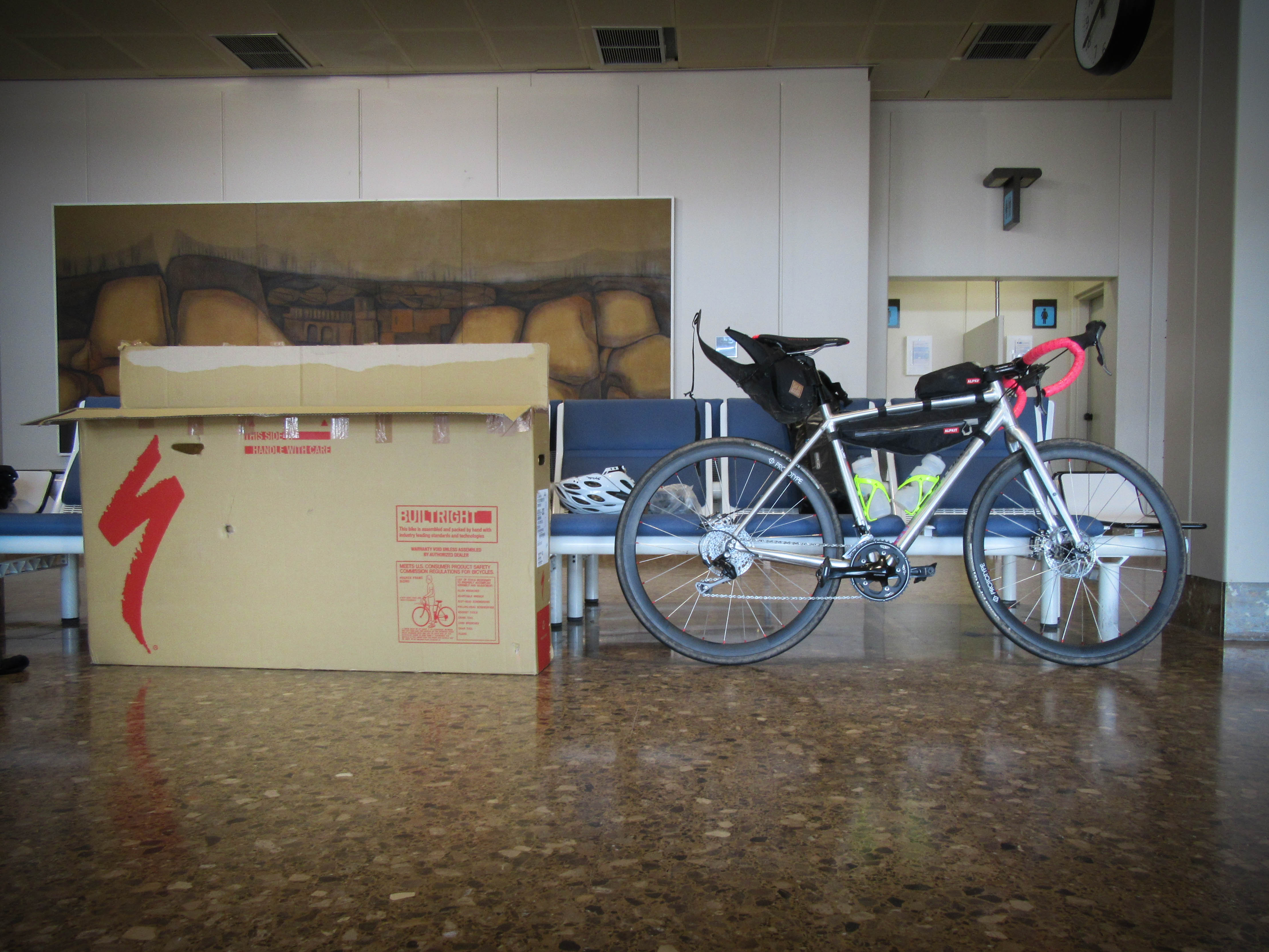 After rebuilding the bikes in the deserted arrivals area at Asturias airport we stash our boxes behind the recycling bin, hoping that they might still be here when we return in six days time. The Garmin is booted up ready for us to find our way to Decathlon in Gijón so I can either order in or buy a bike bag to pick up on our way back at the end of the week. Also George needs to find somewhere to hide his bike bag so he doesn’t have to carry it over his shoulder for the next 600 kilometres. (If you plan to take bikes to Asturias it’s worth noting there is no left luggage facility at the airport, hence the stashing of boxes and hiding of bike bags.)
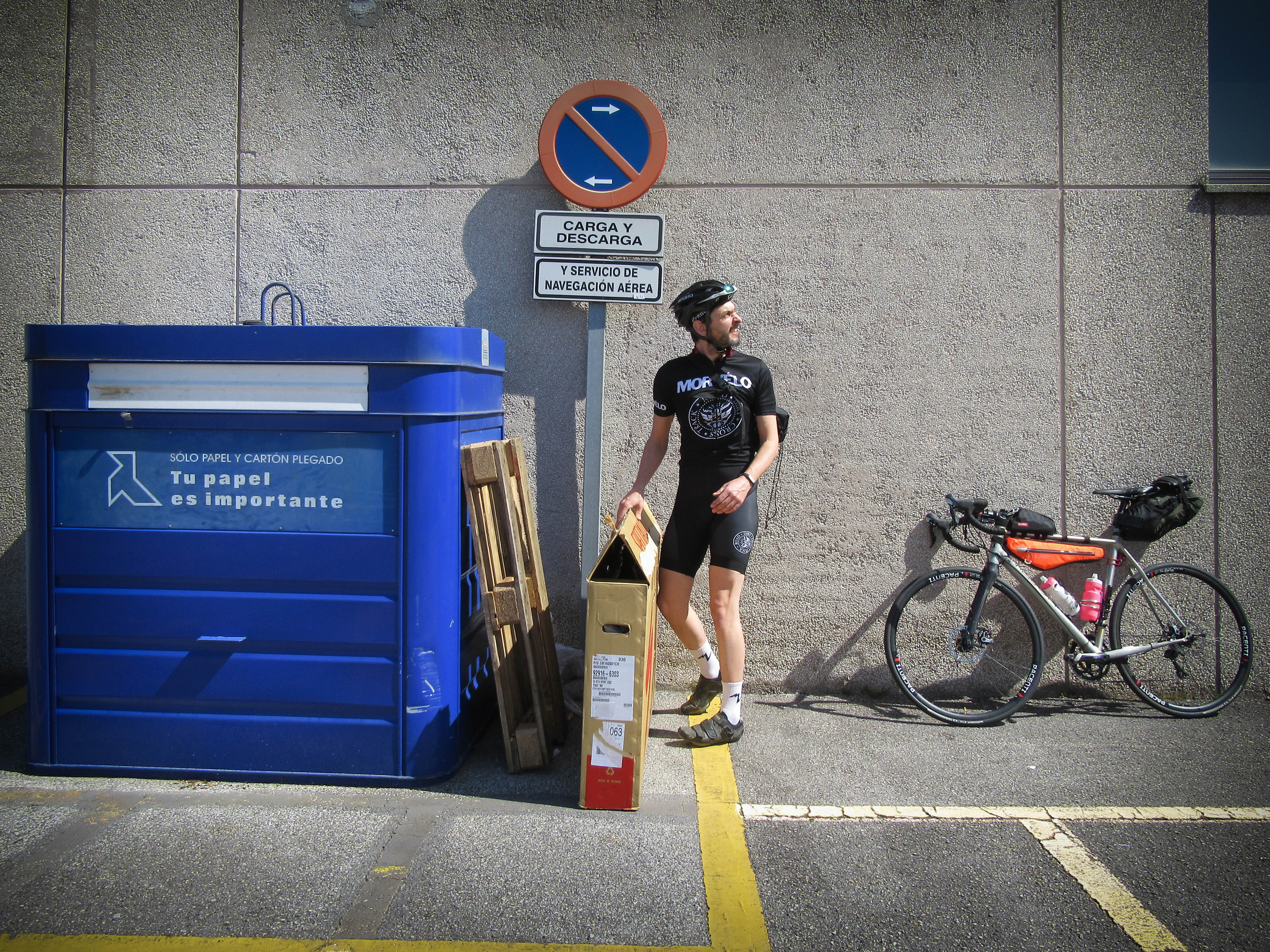 The sky is clear and the sun warm, for the first time this year we don’t need to wear all of the layers and riding with naked knees and elbows is a pleasure not felt since last autumn. Our route takes us to Avilés, as it seems there may be an opportunity to leave a bag at the bus station but the left luggage lockers are all broken. The main AS-19 takes us onwards to Gijón which isn’t particularly pleasant. Fortunately our route takes us off this and onto twisting gravel lanes that form part of El Camino de Santiago, before briefly dropping us back on the AS-19 on the outskirts of Gijón before we find a cycle path to Decathlon, passing a footbridge which is the ideal place for George to stash his bike bag.
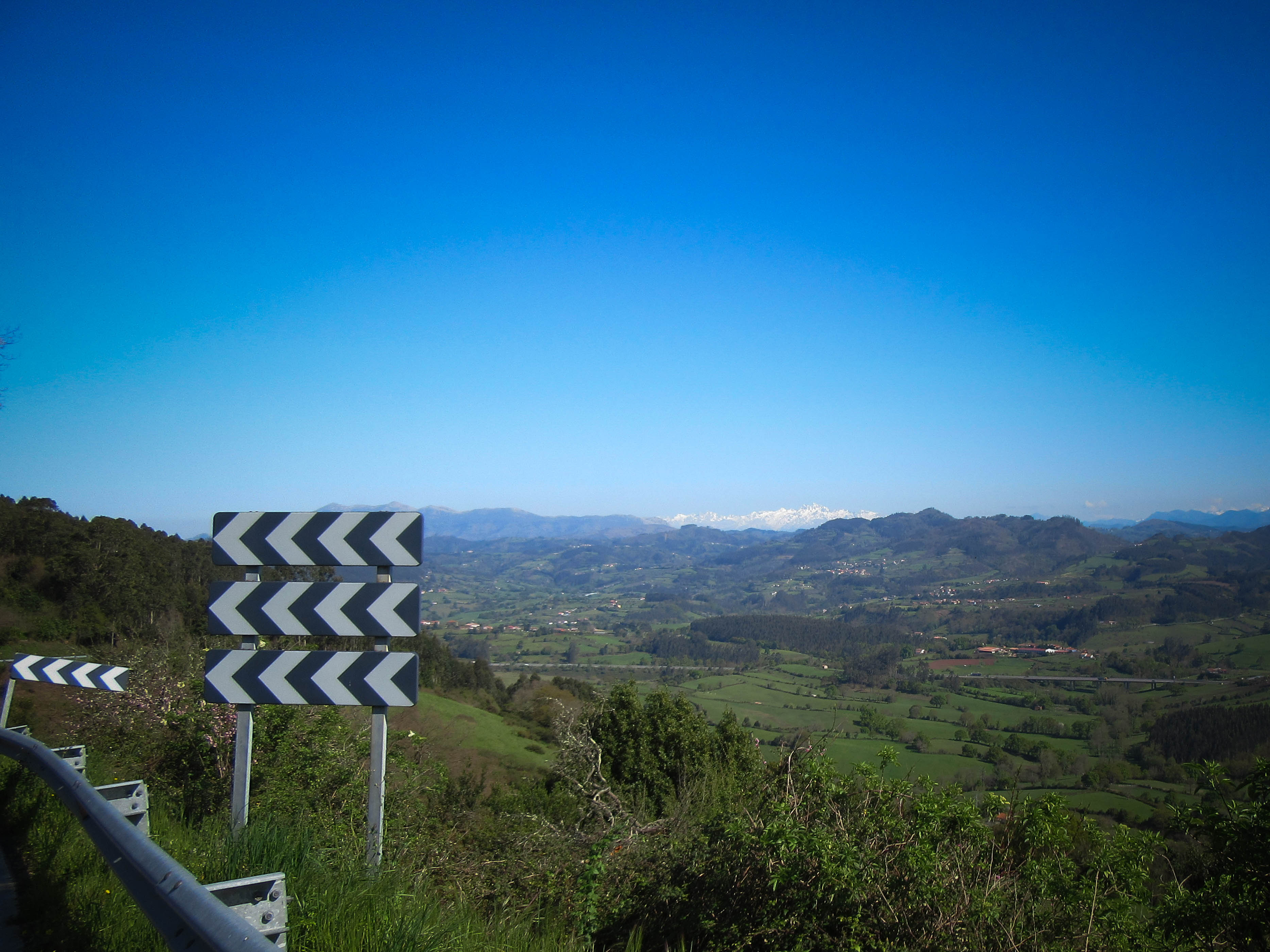
 I find a bike bag in stock and Decathlon are happy to hold it until Saturday for me. Brilliant, that saves the hassle of trying to find a bike box somewhere at the end of the week. We head off towards the hills, stopping briefly to grab some sarnies, chocolate donuts and water for a picnic outside a supermarket. The climbing proper starts immediately after lunch as we start our way towards Villaviciosa. Our plotted route uses lots of small lanes and sharp climbs to avoid bigger roads, but much of what the online route finder considers rideable isn’t on road bikes. Parts of it don’t even seem to be paths of any kind. After one too many dead ends and annoying returns back up sharp climbs we realise we’re against it time wise. We didn’t set off from the airport until midday and what with the faffing with bags and getting lost we’re only half way and it’s already gone 4pm. A quick look at the map and we decide to take the main roads to Villaviciosa and to Infiesto and then on to Cangas de Onís. Climbing the hill to Villaviciosa we catch our first glimpse of the Picos since the aeroplane this morning. Our decision to take the main road has turned out okay as we’ve barely seen a car and the descent into Villaciciosa is sweeping and fast.
 After the rapid descent into the town we start the next climb, eleven kilometres of a steady gradient over into the Piloña valley. Once over this lump the next 30km are pretty much all downhill, a steep drop to the town of Infiesto followed by a gentle ramp along the valley east to Arriondas. From here we turn south and towards Cangas de Onís, sitting in the foothills to the Picos and once the capital of the Kingdom of Asturias.
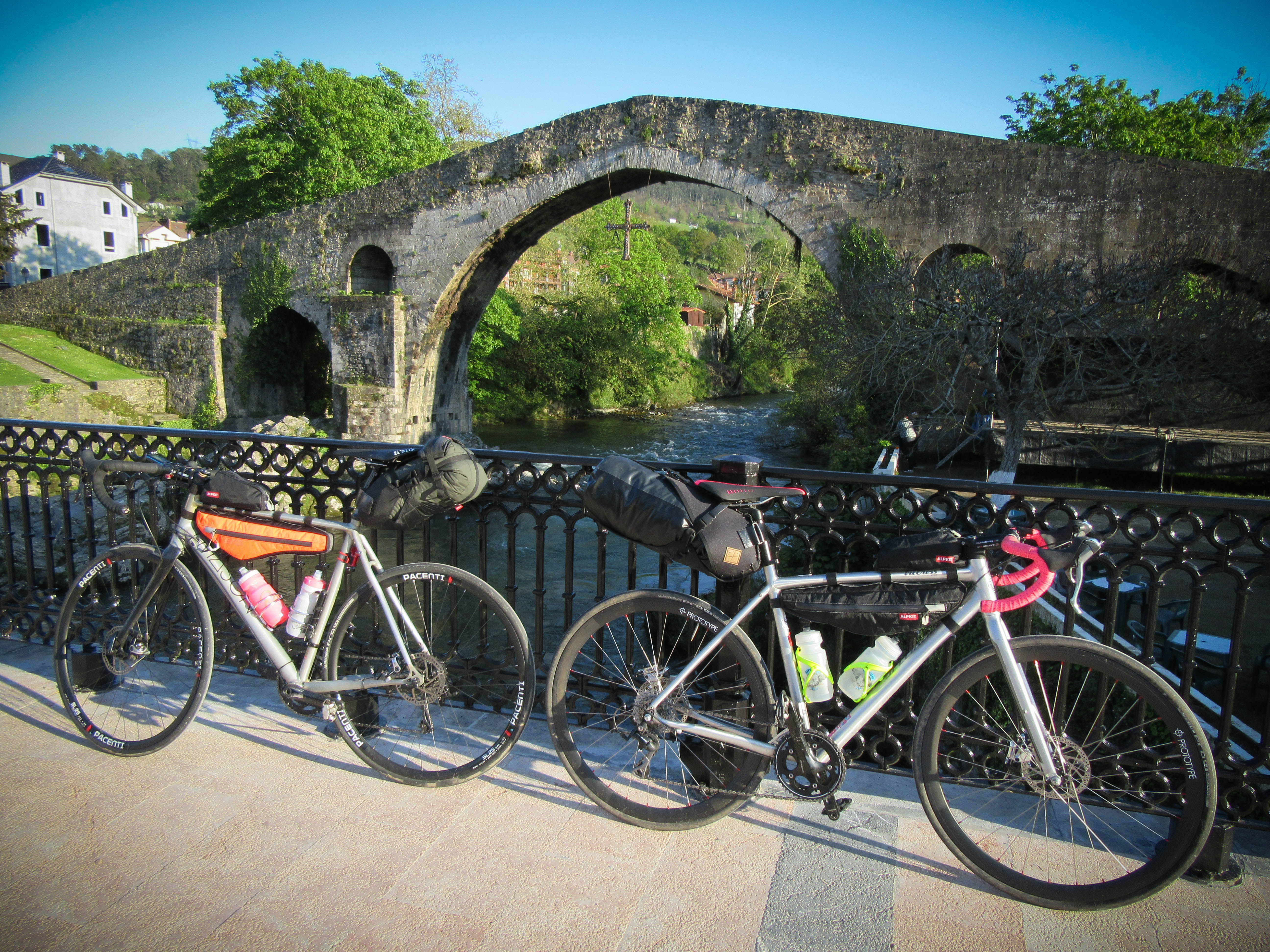
Once we’ve found our apartment* we change and stroll into town, over the hump backed Roman Bridge, to look for dinner. We find a resturant that has a three course menu del dia including a bottle of Asturian cider for 11 euros each. The perfect end to a long day.
 * We’re doing ‘credit card bikepacking’. Rather than kipping in bivvy bags under the stars we opted to book apartments at various towns. We’re here out of season so accommodation was easy to find and cheap. It means we can have real beds and clean kit every couple of days in a washing machine rather than a river.
Numbers
Distance: 131 kilometres
Climbing: 2100 metres
Route: https://www.strava.com/activities/556611546


Leave a comment