• One Way Ticket

    One Way Ticket

    CAM-BTON-01One way ticket, only one way home. A flat before I’ve even started. A lap of Cambridge looking for an open bike shop to borrow a track pump. Saving that gas canister for emergencies in the middle of nowhere. Really must buy a decent mini pump. Buy an extra gas canister.

    CAM-BTON-02The fear of not knowing. Can I do this? What if something breaks?

    Then riding into an unknown landscape in sunshine pushes all the doubts to the far recesses of my mind.

    CAM-BTON-03A list of place names and road numbers on a sheet of paper emerge into reality. Ignoring the route sheet because that way looks prettier. The right choice.

    Cambridgeshire. Big skies filled with the spiralling song of the skylark. The golden smell of rape.

    CAM-BTON-04Crossing a corner of Hertfordshire into Essex. Eating cake next to a village pond.

    A quick check of the map.

    CAM-BTON-05Shouldering the bike and clambering over the grass bank along the middle of dual carriageway. Think that pedestrian crossing sign may be from a few years ago.

    The northern flood plain of the Thames, all desolate and eerie.

    The northern hinterland of the Thames, all scrubby and scruffy.

    Industry looms on the horizon.

    CAM-BTON-06Running out of land. The sound of wheels rolling over the wooden slats of a jetty.

    Eating malt loaf next to the river waiting for a boat to carry me to Kent.

    Talking to strangers. “Where are you going?” and “Where have you come from?”

    CAM-BTON-07A second flat tyre. Down to one spare inner tube and a long way to go. No patches.

    The fear returns.

    CAM-BTON-10A pretty corner of Kent squeezed between motorways and arterial roads.

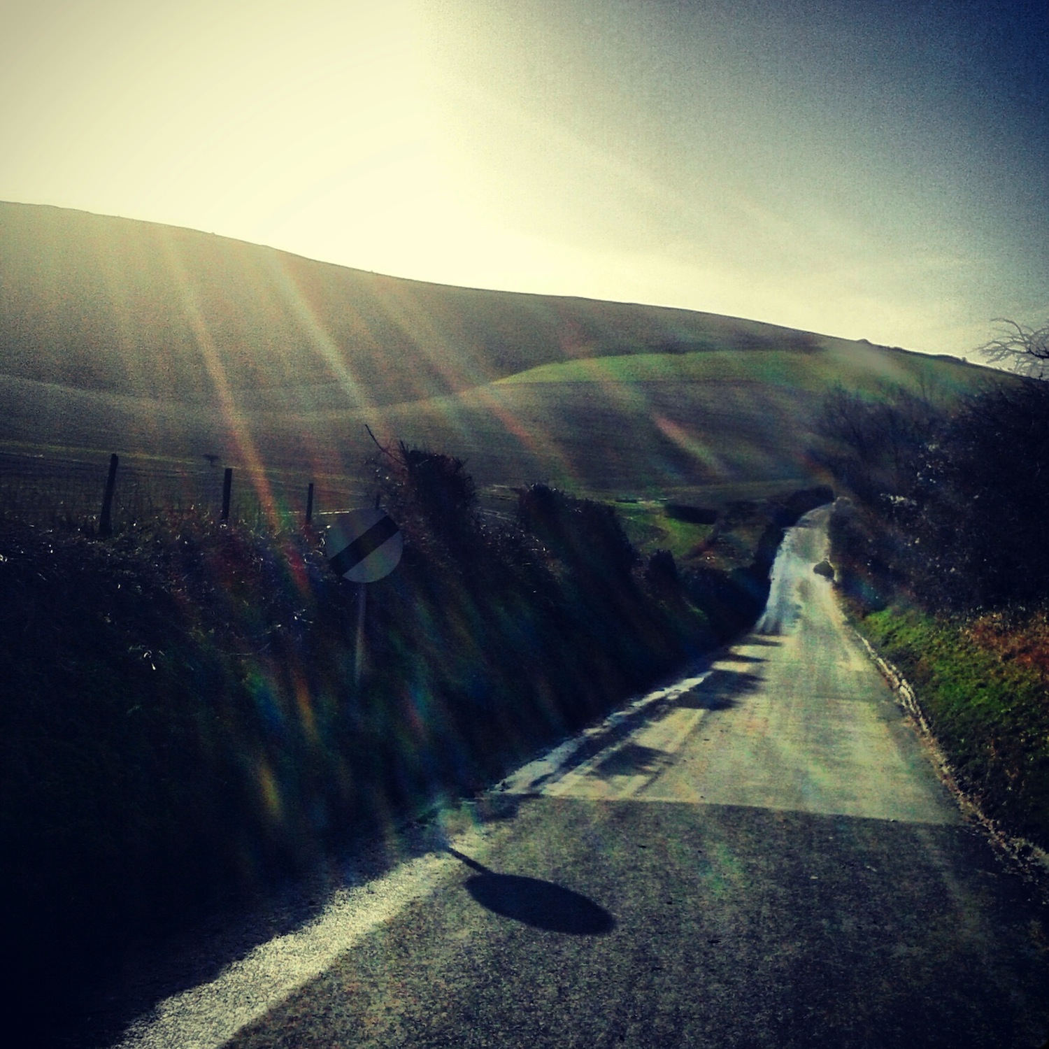
    Climbing over the Lower Greensand Ridge on sun striped lanes.

    CAM-BTON-11West Sussex. An infernal one way system. Turning around and riding the grass verge.

    The recognisable shape of the reservoir down to my left. A pork pie and bottle of coke bought in a village shop.

    A lowering sun and the smell of earth. Slugwash, on home lanes now. Can count them on one hand.

    The list of places is tucked in a pocket, don’t need that any more.

    CAM-BTON-09Final county border. East Sussex. Home. Almost.

    Wrapping a broken spoke around the spoke next to it. The sound of a loose nipple cascading around a wheel rim on a steep hill. The last hill.

    CAM-BTON-08Freewheeling home in twilight.

    Half a day.

    All of the daylight and a little bit of the darkness.

  • Tour of Flanders Weekender Day 3 – Jorge the Rally Driver
  • Tour of Flanders Weekender Day 2 – Ping!

    A special kind of cold and damp, and then a spoke snapping at the bottom of the Koppenberg ends my day after 65km. Except for the 25km trudge along a dual carriageway into a headwind back to the hotel.

    IMG_20150404_062029 IMG_20150404_142821 IMG_20150404_141713IMG_20150404_141015IMG_20150404_140903 IMG_20150404_143627 IMG_20150405_073233 IMG_20150405_073337

  • Tour of Flanders Weekender Day 1 – The Accidental 100km Recce Ride

    “How far is the Muur?”

    “About 8km”

    “Cool, let’s go!”

    It wasn’t 8km…

    IMG_20150403_204211 IMG_20150403_202503 IMG_20150403_204412 IMG_20150403_204914 IMG_20150403_205003 IMG_20150403_205341 IMG_20150402_234250 IMG_20150402_234112

  • The Reliable

    The Reliable

    It’s Wednesday lunchtime and I’m strolling to the Post Office with an envelope full of brevet cards and receipts. It seems a bit anachronistic in these days of gps recording and email but it feels like the proper way to prove that we completed our first permanent audax the previous Sunday.

    The audax in question is The Reliable, and because it’s a permanent it can be ridden any time with commercial and info controls as proof of passage. It also qualifies for the Brevet Des Grimpeurs Du Sud which Jo and I are aiming for, an award for completing five audaxes of at least 100km with AAA (Audax Altitude Award) points, in the south east of England in a calendar year. This is our third qualifying ride, with the Hills and Mills, and Mad Jack’s already completed. Basically we can get a badge. It’s a nice badge. Nick is coming along for the ride as he’s never done an audax before. Plus it all seems like good training for the Ronde Van Vlaanderen sportive that we’re all doing in a couple of weeks time.

    IMG_20150315_093103In Bill’s cafe surrounded by families out for Mothering Sunday breakfast I hand out bagged brevet cards and route sheets, whilst Nick distributes foil wrapped chocolate brownies. It looks a bit odd, suspect even, like audax drug dealing. Once our teas and coffees are consumed and chat is chatted we cause trouble by asking for individual receipts. The computer can’t cope with this so we end up with three copies of the joint receipt as proof of our start time.

    IMG_20150315_165233The official route is 100km with almost 1700m of climbing, with options to start in Ripe or Crowborough. We started and finished in Lewes adding a few kilometres but giving us more options for gathering receipts on a Sunday than Ripe. Heading out through Ringmer we picked up the route sheet on Harvey’s Lane out towards Bentley. Because we did it properly we followed the route sheet which was in a sandwich bag taped to my stem rather than using a Garmin. Nothing against gps devices but audaxing is about following coded instructions and signposts as far as I’m concerned. We zigzagged across to Black Boys where the climbing started in earnest as we worked our way up and down across the weald towards Crowborough on lanes of varying gradients and surfaces. My relaxed angled steel Thorn was relatively comfortable but Nick and Jo got a bit bashed about on their race bred carbon Bianchis. Served them right for turning up on audax illegal plastic bikes with no mudgaurds. Every time there was a bit of smooth tarmac you could almost hear sighs of relief mixed with excitement…they’d also whizz off into the distance for a bit.

    IMG_20150315_162843IMG_20150319_212540Once in Crowborough we located the Sainsbury’s Local in order to buy snacks for the receipts. Disappointingly there were no scotch eggs or pork pies (you know, proper audax food) so we have to make do with sausage rolls (me and Jo) and Fizzy Fangs (Nick). Heading north east from Crowborough we turned under a railway bridge and Jo and I both exclaimed “Oh, we’re here!” recognising the lane from the Hills and Mills ride back in January, but riding it the opposite way. We slowly climb up onto the high ridge of the High Weald north of Mayfield which we can see silhouetted to the south.

    IMG_20150315_163015At Etchingham we shouldered the bikes over the station footbridge due to works on the level crossing. More ups and downs follow until again we pop out of a junction and go “Oh, we’re here!” (again) as we realise we’re near Burwash, from Mad Jack’s ride last month. Instead of heading into Burwash we turn towards Brightling, included in both the previous Grimpeurs rides. We clamber over the steep climbs of the High Weald until the final info control. From here we know most of the lanes back towards Lewes but somehow the route sheet finds loads of lanes we’ve never ridden before.

    The best thing about riding these local Sussex audaxes is that we’re being introduced to new lanes and routes in parts of the county we don’t know so well. Each one so far has really shown the varying landscape of East Sussex, running from the low weald up onto the high weald, from the fields and drove roads to the holloways and ghylls of the high weald, all moss covered rocks, exposed tree roots, and filthy lanes. From the flat lands in the shadows of chalk hills of the south to the sandstone ridges in the north. The next one, in April, The Hell of the Sussex Hills will take in the chalk and bostals of South Downs. Eventually we’ll work out how it all joins up so there’ll be fewer “Oh, we’re here!” moments.

    IMG_20150315_163232IMG_20150315_163414 From Horam the route is pretty much flat all the way back so we make good time through Chiddingly to Golden Cross. From here we could have blasted down the Laughton road back through Ringmer into Lewes, as we’d done all the climbs and would have easily covered the required 100km, but we continue following the route sheet into Ripe. It’s just as well we hadn’t started here as the pub has shut down again and the village shop was closed. From here we divert from the route sheet and head back via Glynde as it’ll drop us into Lewes by our chosen finishing point, the Snow Drop pub. Pies and pints are ordered for the necessary receipts to show our finishing time. We found a table for a well deserved sit down and info control answers are copied between brevets and receipts collated ready to be taken to the Post Office.

    IMG_20150315_153445Thanks to Nick for the photo of me.


  • The Return of Mad Jack

    Mad Jack’s – John Seviour Memorial Audax

    Last year Mad Jack’s event was supposed to be my first ever audax. It didn’t quite go to plan. This year’s attempt looked equally doomed as Jo and I drove over to meet Mark in Hailsham in sleeting snow. Neither of us recalled seeing this on the weather forecast the evening before. Yet again it looked like if any of us even vaguely suggested not starting we would happily have had a cup of tea at Mark’s and gone home again.

    However we actually managed to get to get to the start line on time this year so it seemed churlish not to at least make an effort. So off we headed north out of Hailsham in the continuing sleet. Within a mile I couldn’t feel my fingers or my toes and I couldn’t really see where we were going. My usual audax navigation method of having the route notes in my hand or tucked up my sleeve doesn’t really work in freezing wet weather. So we had to try and remember a few instructions ahead mixed in with following anyone we saw with a laminated route sheet attached to the stem. [Always safest to follow the people with laminated route sheets and mudgaurds as you know they are an audaxer. Following someone with a Garmin and no mudgaurds has potential to lead you astray.]

    Mad Jack’s ride is three loops in and out of Battle across the High Weald, down to Fairlight where you overlook the English Channel, and back to Hailsham, totalling 125km. The landscape of the High Weald was formed by rivers and their headwaters carving deep steep-sided valleys – ghylls – into the sandstone and clay. The route is beautiful, twisting, corkscrewing lanes sunk into the sides of the hills, from millennia of human and agricultural toing and froing, cocooning us in rock and shadow, trees arching around us, forming tunnels as if we were burrowing through the wealden rock itself. The official 2450 metres of climbing would be gained by continuously riding up and down these deep, dark lanes, occasionally offered some respite and distant views from meandering hedge lined lanes along the ridges. The lanes themselves were carpeted in gravel and mud, bits of tree, moss, and water running out from the surrounding woodland and fields. Where we were lucky enough to see tarmac it was often cratered with potholes. It was if the weald was trying to absorb centuries of human intervention back into the earth, reminding us that we were just passing through this ancient landscape.

    Not long after the first info control in Bodle Street Green Mark punctured. It had, at least, stopped snowing but it was still a fumble to change a tube with frozen fingers. Back on the road 10-15 minutes later just past the second info control at Penhurst I had a flat front. After pulling a sharp flint out of my tyre and refitting tube and tyre I checked the route sheet, brevet and the time. Crap! We had 15 minutes to make the first control in Battle which was still 5km away. Any other day that wouldn’t have been an issue, but this was a relentlessly hilly ride in slightly revolting conditions on cold legs. We made it with one minute to spare.

    After necking a cup of hot sugary tea we cracked on over the hills to the next control. Flying down the final descent before Burwash Mark and Jo shot past the next turn despite me screaming “LEFT AFTER THE BRIDGE!” at them. I stopped and waited. There was no way I was following them up the next hill. They’d eventually realise I wasn’t with them and come looking for me. No. I phoned Mark. No answer. I rolled to the bottom of the hill to see if I could see them. I couldn’t but then Mark phoned me back and we agreed to meet at the next control seeing as they were already in Burwash. I rolled into the petrol station control with a minute to spare. Again. This wasn’t looking good. We were barely a third of the way through and already right up against it time wise. There was time to grab some custard creams from the boot of the control car before trying to make some time up on the way back to Battle where we could re-assess our situation. The sun was out now so we were starting to feel a vague warmth and being accompanied by your shadow always makes things seem better.

    controlsOut of Burwash and we were straight onto a long steep climb. It was at this point I noticed not only was Mark on a standard double chainset, he was also on a 23-tooth cassette. This wasn’t a day for that sort of madness. Passing through Brightling we crested the highest point on the Weald between us and the coast. Sussex undulated away from us until it sank into the sea shining like quicksilver in the sunlight. Frankly it was a rather glorious view and worth the hour of not being able to feel out hands or feet.

    Back in Battle we arrived at the control twenty minutes inside the cut off. We’d made up some time but with the terrain, weather and flats it had taken almost 4 hours to ride barely 50km. This did not bode well. The sky was now almost cloudless but we were damp through to our base layers so the warmth was taking a while to take hold. Mark had had enough and decided to head home where he had “…warm children that will give me a hug”. I’m not surprised with that cassette and knowing what was yet to come. However I was determined to continue as I’d not yet failed to complete an audax I’ve started. If I failed within the rules of the game by missing a control or time cut then that is one thing, but I didn’t want to give up whilst it was still possible to finish. Had it still been snowing I would have been on Mark’s wheel all the way back to his for a cuppa but the sun was shining. Jo and I decided to have a cup of tea. eat some food, and check the route sheet for the next section. Sunshine inspired belligerence. That’s riding bikes for you.

    punctures

    Jo and I headed off on the loop out to Fairlight, on the coast between Hastings and Rye. Within 5 kilometres Jo punctured. Another impromptu stop.

    More constantly undulating gritty, slimey lanes of varying degrees of steepness followed until the long steady climb up to Fairlight started. I was really feeling it in my legs by this point but out here there was no real option than to finish the ride. Well, there was an emergency plan loitering in the back of my mind which involved freewheeling into Hastings and getting the train home…but I was determined I was finishing, plus if we didn’t stop at the cafe at the next info control we could make up some time again. Looking south the sea shone turquoise under the blue sky. Turning north, the way we needed to head, thick dark grey cloud loomed. Hmm…

    As we descended Fairlight towards Rye it started to hail. Excruciatingly hard. It stung the face as the front tyre stuggled to find any grip on what was a fast snaking descent. Fortunately it lasted only a few minutes and sunshine returned along with the short steep climbs back to Battle for the third and final time. We got our brevets stamped back at the main control. However this time there was a children’s party in the cafe. It seemed a bit weird to be hanging around a cafe in lycra surrounded by small children and fairy cakes. So we popped down the road to a deli for a pork pie and cup of tea in the warm. Checking the route notes and time we realised we had a little under two hours to cover the final 25km to make the arriveé cut-off. We hadn’t bought lights as we hadn’t expected to be out all day, so our cut off was sundown which was sooner.

    It was flat and fast out of Battle so we maintained a decent average, but again we were soon rising and falling on awkwardly surfaced lanes. Over hedges the sky was red like glowing embers with the sun shining gold not far from the horizon. The rest of the sky was a darkening blue. Somewhere on the way towards Ashburnham we caught some other riders just as we hit a difficult descent. Jo managed to get in front but I got caught in the middle so couldn’t pick my line as far in advance as I would have liked. Thud. My rear wheel hit a pothole. I knew instantly that I’d be lucky to get away without a pinch flat. Within 100 metres my fear was confirmed. With the light fading fast and 15km to go it wasn’t perfect timing. Tool roll unfurled again.

    One more info control and a couple of short climbs and I knew it should be pretty much flat all the way back into Hailsham. This was just as well as the light was almost gone. We going to have to sprint the last few kilometres or we’d be finishing in the dark. Fortunately the last few kilometres were slightly down hill so with heads down we frantically pedalled for the finish. We turned into the arriveé in twilight with 24 minutes to spare. Jo went in to get our brevets validated whilst I looked after the bikes and texted Mark to say we’d be round for a cup of tea in 5 minutes.

    brevet mad jacks

  • You won’t find yourself here by accident, you seek this place out. Maybe when you set off from home you didn’t plan to come here but somewhere along the way you make a decision to ride up here. When I first started riding again a few years ago I saw an photo on Instagram that fascinated me. It was a view of the top of a local hill called Bo Peep Bostal by someone called Mark. The composition was simple, two banks of grass and a tarmac road, with a view of Sussex framed between them and the sky. However there was a strangeness to it, the way everything seemed to drop away from the picture plane. A foreground and a background but nothing between. I was intrigued. I needed to find this place. When I first met Mark in the real world a few weeks later we rode up this hill. This sums up the bicycle for me – happening upon new friends and searching out new places.

    bo peep 9Bo Peep, like Streat and Firle bostals, is one of those that you ride up just to turn on your heels (cleats) and ride back down again. Unlike Steyning Bostal this lane stops when you reach the summit. Unless you’re on a cyclocross bike or MTB. It’s not a long climb, less than a mile, but like all bostals its path is the quickest feasible route up the sharp scarp edge. Once you’ve caught your breath and taken in the view you plummet back down to the weald the way you came. In many ways a pointless dead end. The best rides are always pointless. It’s not on the way to anywhere in particular, not a place between places. You ride up here to pause; to look, to listen, to think, maybe to chat about where to head next.

    bo peep 8Crossing the A27 you head off past a ‘no through road’ sign along a lane that gently ripples like a wave lapping at the foot of South Downs. There’s a tell tale ‘v’ shaped nick in the top line of the downs but the climb itself is hidden from view. You can see the contrasting whiteness of the chalk pit below the green summit. Bo Peep Lane gives way to Bo Peep Bostal as you cross the path of Comp Lane as it skirts the shallow scoop of Pearson’s Wish. You enter a funnel of trees, as if burrowing into the chalk hillside, except you can feel the land rising. On those clear winter days when the sky is a washed out blue the sun will disappear from view and you won’t see it again until the top. You’ve plunged into the shadow of the downs. Nearer the middle of the year dappled light dances on the tarmac.

    bo peep 7The surface is lumpy and potholed until the left hand bend where the road ramps up towards the hairpin bend at Horseshoe Woods. The tarmac is smoother around the switchback but gradually steepens. Exiting the hairpin the climb opens up in front of you curving along the contour. You’ll probably be out of the saddle now, levering around the crank arms as all the other sounds are drowned out by the sound of your own breathing. Clicking down a gear (if you’ve got any left) the gradient starts to bite a little more. On summer days sunlight and heat are reflected from the smooth, pale tarmac. These are the days when you can smell the temperature and the horizon is softened by haze.

    bo peep 6One more corner to go, just near the top and you’ll probably catch a face full of wind. The colours up here seem desaturated, exposed and scorched by the weather all year round. I’ve turned this corner only to be stopped in my tracks by howling wind as a torrent of water cascading beneath my wheels. It had been sunny when I was at the start of Bo Peep Lane! There’s little more soul destroying that being forced to walk the last few metres as cold rain water pours over your shoes. The brightest colours I’ve seen up here are rainbow colours, once an actual rainbow, the other time a hang glider floating over me gently lifting on thermals as I ever so slightly less gracefully crested the hillside.

    bo peep 1 bo peep 3 bo peep 5IMG_20140831_193345 IMG_20140403_200025 IMG_20140403_195709First published by Nowhere Fast Cycle Club in January 2014

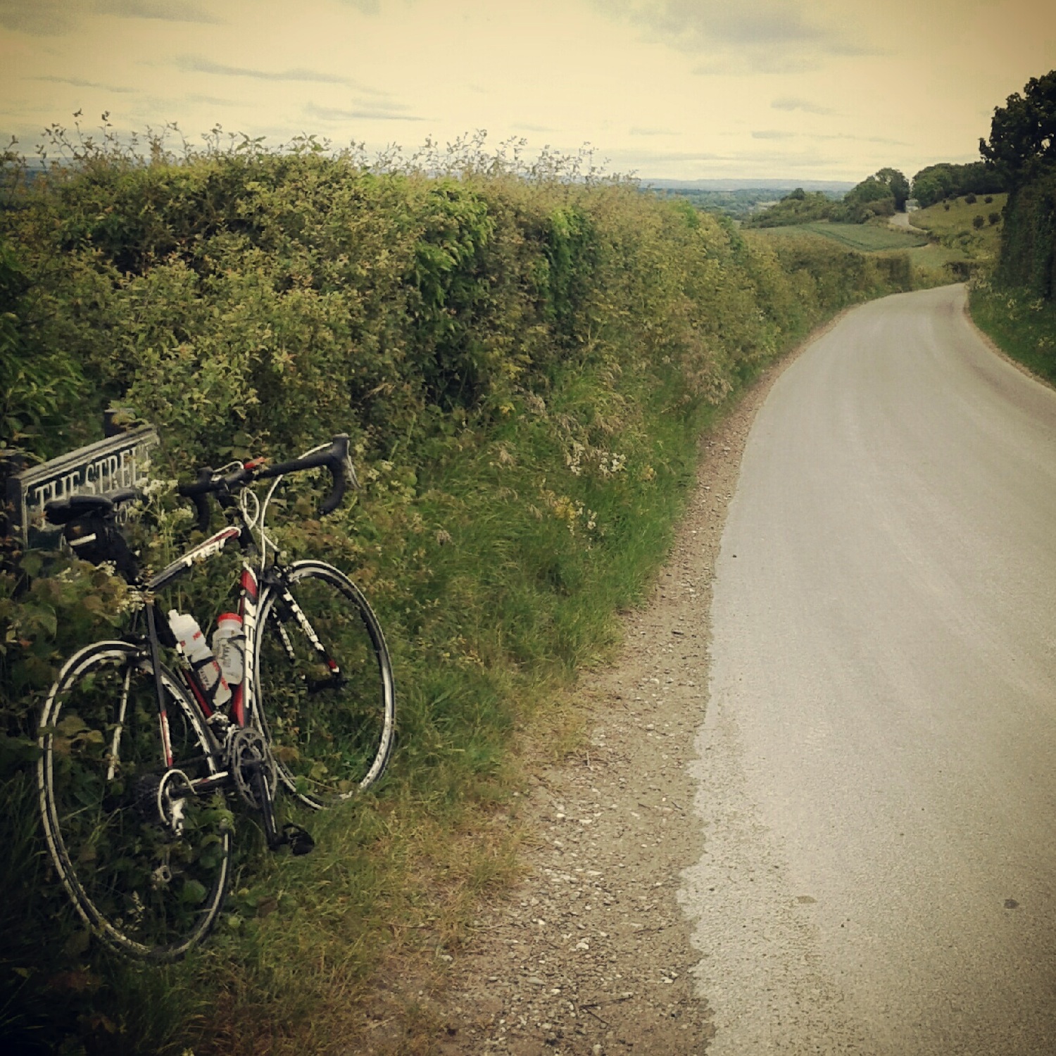
  • IMG_20121125_161434It has three names – Litlington Road, Chapel Hill and The Street (either side of Chapel Hill) – but is one continuous strip of tarmac. Running along the Cuckmere River valley from the Seven Sister visitor centre at Exceat to Wilmington, it transfers your ride from where the South Downs meet the sea inland to the Low Weald: A gap in the hills, atween the cliffs and the flatlands. Perhaps it should be ridden north to south, from the heart of Sussex to the edge of England, after all Exceat is derived from old English for exit.

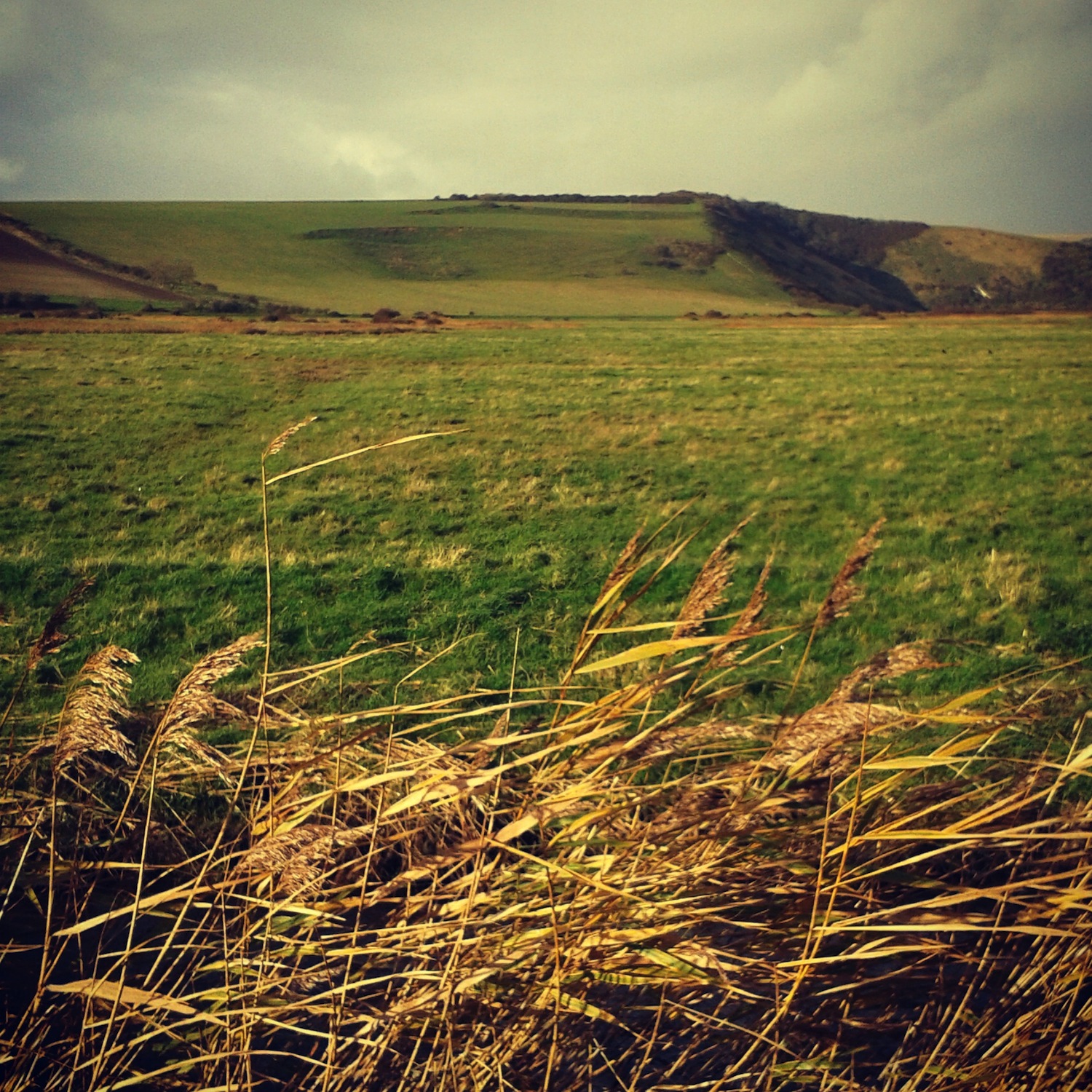
    IMG_20140202_163956Starting from the south, the direction I’ve ridden it most, the road marks the boundary of Friston Forest and the Cuckmere flood plain. A faint echo of Pevensey Levels on your left over the flood plain, a reed-lined stream edges the road and drainage ditches crisscross the valley floor. On your right side Friston Forest regales you in all its verdant glory, smothering the hills in summer, paths tacking off under the canopy. In autumn the russets and golds give way to brown falling leaves slowly revealing the latent image of the hillside.

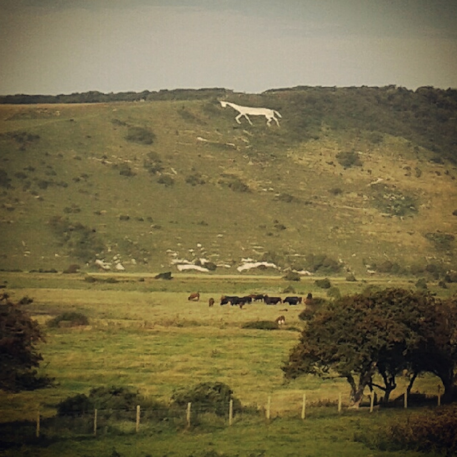
    IMG_20131119_110732On the far side of the valley the South Downs rise again over Hindover Hill, or High And Over depending on the age of your map. A white horse was cut into the chalk of the hill but you won’t see it clearly until you’re farther along the road. The road twists and turns skirting the edge of the valley, the surface rough. The back wheel will skip about as you dance on the pedals through the rising bends. In and out of trees and the landscape opens briefly and the White Horse is clearly visible in profile across the valley.

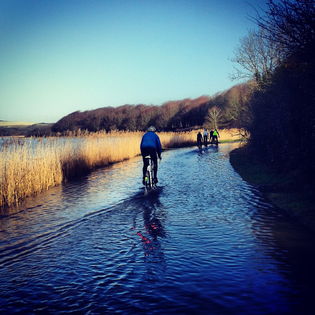
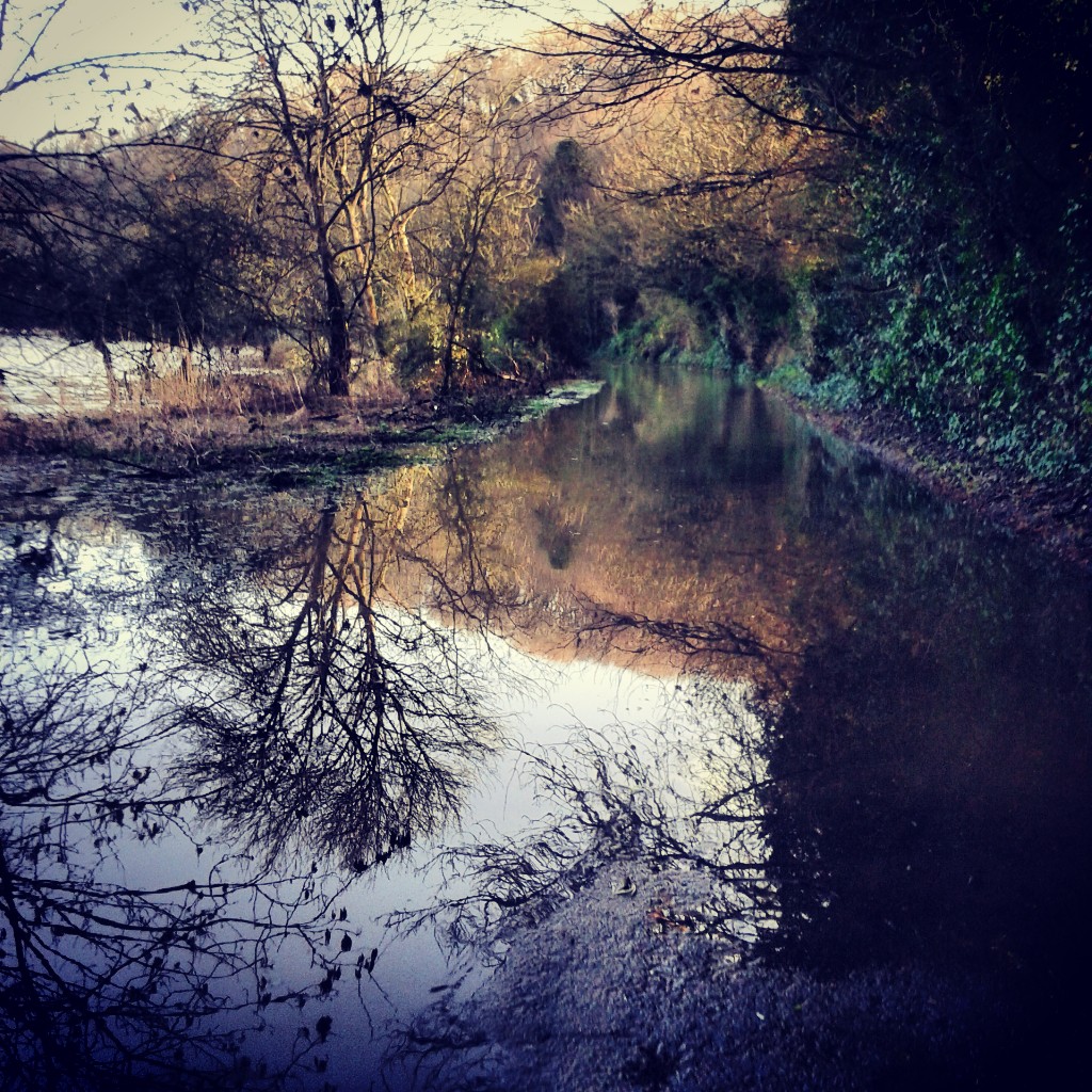
    IMG_20120904_145918The road gradually moves away from the river and undulates more and more, the middle section sunk into the earth hinting at a past as a drove road, centuries of hooves and feet wearing away the land. The valley side of the road is lined with trees, hiding the view in summer except for glimpses caught here and there. As the trees drop their leaves during autumn Alfriston becomes visible sitting next to the river. Last winter the spire of the Church of St. Andrew, the Cathedral of the Downs, appeared to rise from the river itself as the flood plain did exactly what its name suggests.

    IMG_20140202_164918Rising and dipping through a tunnel of trees the road curls into Litlington, a village made of flint and brick like many that nestle in the downs. There’s both a tea room and pub here but I’ve never partaken, mainly because across the valley is Alfriston and Badgers Tea Rooms, a favoured stop. Freewheeling out of Litlington you pass the Long Man brewery housed in flint barns before rising and falling yet again, dropping past Lullington Manor. If you want to stop off at Badgers in Alfriston (tea and toasted crumpets in the garden) turn left here: Follow the road around and over the Cuckmere, then turn left.

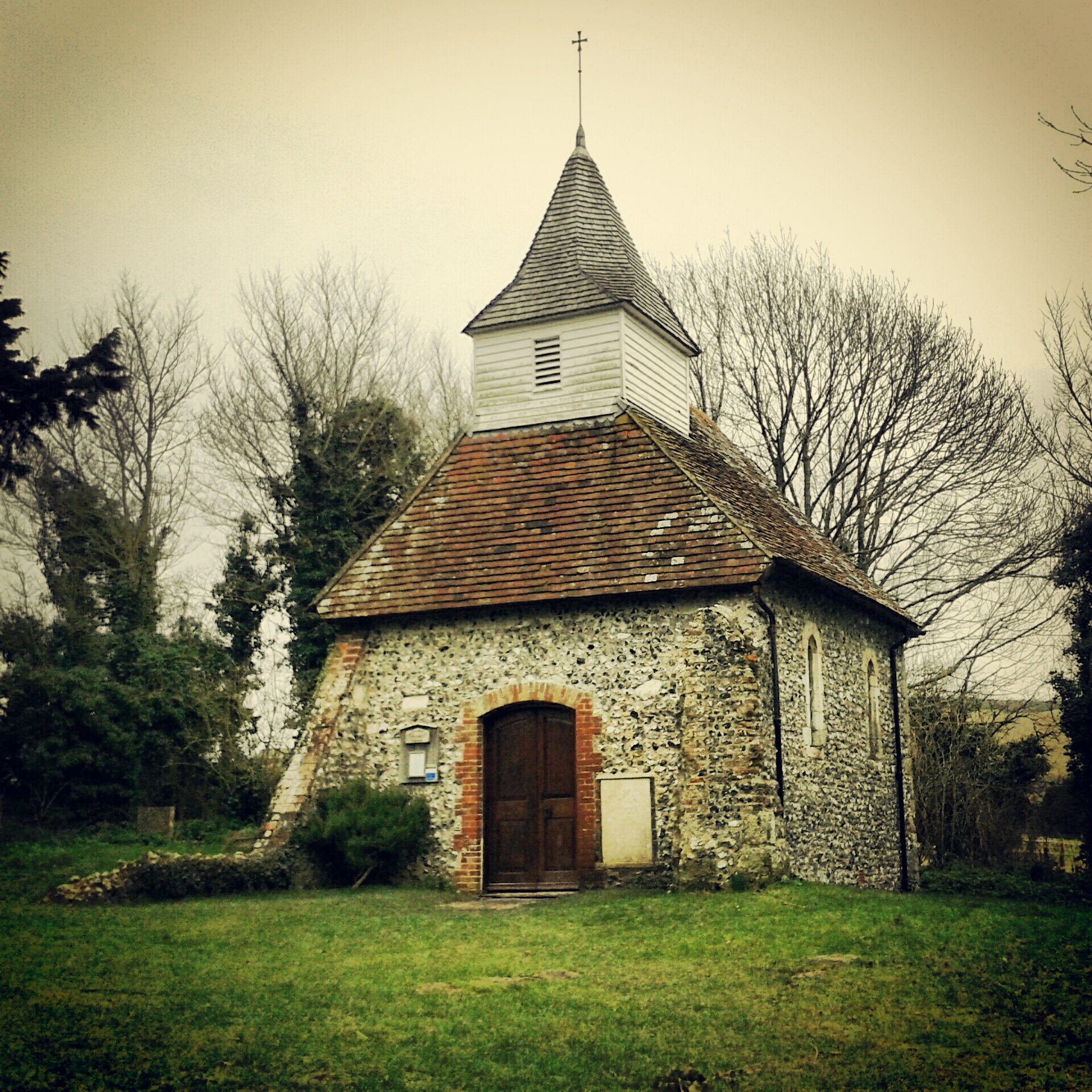
    IMG_20120605_194417The next few hundred yards up Chapel Hill will take some effort in a low gear or out of saddle. The South Downs sweep away to your right through the twin coombes of Ewe Dean and Park Bottom. A set of curves I can’t even begin to describe. You’ll just have to come and see for yourself. Arable patterns define the curves to perfection. The low winter sun the same. Half way up on the other side dart down what looks like someone’s garden path to see Lullington Church, or Church of the Good Shepherd, or the smallest church in Sussex http://www.youtube.com/watch?v=7M1hhm70DVQ

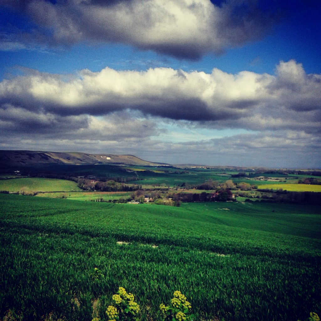
    IMG_20130303_155022Cresting the hill, where the South Downs Way crosses the road and up across Windover Hill, look west for probably my favourite view in the whole of Sussex. It isn’t the widest vista you’ll find, but the scale is perfect, enough to see for miles and miles, but small enough to know your way around it. Patterns of lines flow through the fields drawing your eye into the view. Whatever the colour and texture of these fields, it seeps into the distance. The South Downs always look good in profile, all soft ripples along the scarp edge. The white chalk path we just crossed stretches along that ridge before dropping into the next valley, that of the Ouse. You can see Bostal Hill, Bopeep chalk pit, the distinctive curve of Firle Beacon, the wind turbine at Glyndebourne, and Mount Cabon. Beyond that is home. On a clear day you can see north across the weald, past Arlington Reservoir, all the way to the North Downs.

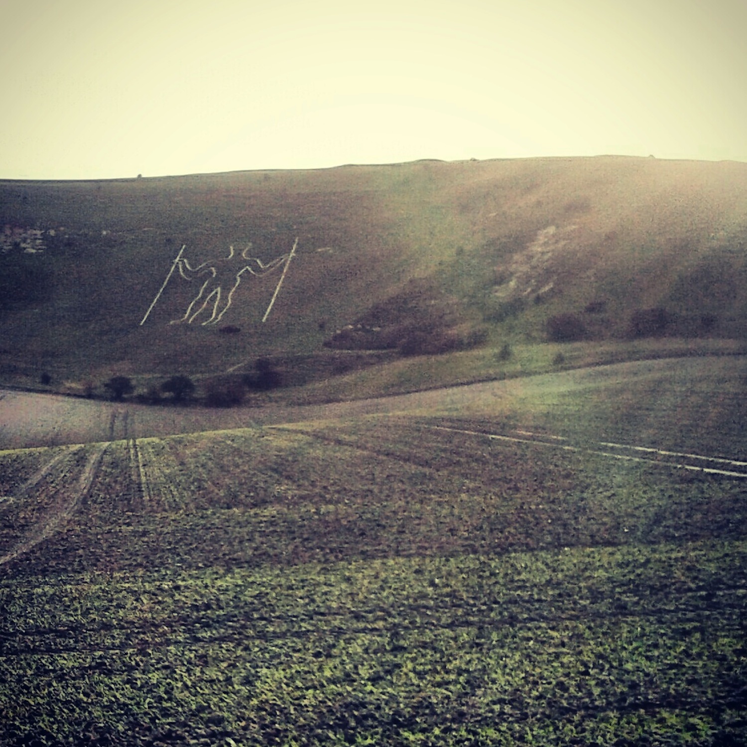
    IMG_20130505_131345From here roll down the road to the Wilmington Giant or more commonly the Long Man of Wilmington. Doff your cap to the Long Man, but he’ll just stand and stare back at you. He hides his story well. Neolithic, Iron Age, or 16th Century? Only he knows and he’s not telling. However or whenever he arrived, he’s made Sussex his home, and he’ll still be there long after I’m gone. In the snow he may recede from view, as he can when the grass is long, but he’s always there.

    IMG_20121125_161709Across the road stands what remain of Wilmington Priory, flint ruins as old as the Long Man? Maybe. The road narrows here as you enter the village, the sound of your freewheel reflects off the low flint walls as you whizz down towards the junction with the A27 past the Giant’s Rest. One day I’ll stop here for a pint. Once over the busy A27 you enter the flat lanes of the Low Weald. There are other things to be written about these lanes.

    IMG_20130127_161548 IMG_20130826_133636 IMG_20130629_151412 IMG_20130826_134133First published by Nowhere Fast Cycle Club in November 2013

  • On a late summers evening I’ve chased my shadow home along here. In the depths of winter I’ve entered one end of the lane in drizzle with a bunch of riders only to emerge from the other end, two and a half miles later, in snow and having lost one of our mini-peleton somewhere along the way. On another occassion I remember belting along here early on in a century ride on a day so cold that our gear cables froze and apart from the hardiest, one by one riders peeled off home early, And that was in spring!

    spithandle01Running almost parallel to, and slightly north of, the spring line Spithandle Lane leads from near Ashhurst in the east to Wiston in the west, from the edge of the River Adur flood plain into the shadow of the downs. Or to Wiston Tea Rooms if you’re in need of tea and cake. About ten miles from home it is either near the beginning of a ride when legs are warmed up, or at the end of a ride, usually a long one, when legs are tired. It’s relatively flat, seeming to pivot in the middle somewhere like a seesaw. You gently roll up for a while before starting to roll back down again, no matter which way you are riding. It’s usually quiet but sometimes you’ll come face to face with a car, but much more likely is other cyclists, horse riders, dog walkers or possibly a tractor.

    spithandle05To the south lies Wiston House (1576) to the north Peppers (1611) and the lane runs through parts of Wiston and Pepper’s estates. Riding east to west you first pass Calcot Wood on the left, open fields to the right, before being plunged into darkness in Great and Little Pepper Woods. The branches of trees from each wood interlocking over the lane. As with many lanes that wend their way through woodland the seasonal differences are pronounced. Under the thick verdant canopy it’s usually darker here at midday on a sunny summer’s day than twilight on a gloomy winter’s day. In winter zebra stripes of light below your wheels mirror the interwoven branches above your head. In summer bright pinpricks pierce the foliage dotting the road with spots of light tracking the sun as it moves across the sky hidden above, beams tracing across tarmac like slow moving searchlights. Looking up is like looking up at the stars in the night sky. In the autumnal setting sun colours are muted, desaturated in the fading light, but vibrant wedges of golden light cut through the trees like torch beams.

    spithandle04You exit the woods around a sweeping s-bend that is gentle enough to be taken at pace. Further on there is a s-bend that always catches me out, forgetting how quickly it tightens and twists. Even if I’ve ridden it the week before I’ll still go piling into it way too fast. It’s worse from the west as you  come to it along a long straight slightly downhill section of road, picking pace up nicely.

    spithandle03There are more small woodlands to pass through; Pepper Furzefield Wood, South Copse, Spithandle Copse, Guesses Wood, Guessgate Wood, the landscape gradually opening out into hedge lined pasture. The familiar outline of Chanctonbury Ring appears up on the ridge of the South Downs away to the south. There is evidence that a route ran this was as far back as Roman times, but have people been travelling the way of Spithandle Lane as far back as the Iron Age?


    First published by Nowhere Fast Cycle Club in August 2013

  • Autosave-File vom d-lab2/3 der AgfaPhoto GmbHWithin the Hundred of Pevensey Lowey within in the Rape of Pevensey, and containing yet smaller divisions – Horse Eye Level, Down Level, Manxey Level, Whelpley Level, Hooe Level – Pevensey Levels are a strange land. Reclaimed flatlands of soft clay sediments between the chalk hills of the South Downs to the south-east, and the sandstones of the High Weald to the north and east. From a tidal estuary to saltmarshes to wetland meadows, hints of its past are printed on maps and embedded in place names. Names of farms and settlements scattered across the Levels on slightly raised land, once an archipelago of clay islands in the wide shallow tidal bay, retain suffixes derived from old English for island ‘eye’ or ‘eyot’ – Rickney, Manxey, Northeye, Chilley. Pevensey itself.

    IMG_20140324_170520The usual markings covering the rest of Sussex on a map – orange contours, green shaded woodland, black lines dividing fields – are all replaced by a white expanse crisscrossed with an irregular grid of blue lines; streams, ditches, sewers, guts, havens, fleets. It feels inverted. Elsewhere hedges separate fields, and narrow lanes are worn into the landscape, here roads are raised above fields which are delineated by waterways. To the north you can see the hills of the High Weald, one of the domes of Herstmonceux Observatory peaking above the trees. To the south-east the familiar shape of the escarpment slopes of the South Downs. To the south-west it’s flat all the way Pevensey Castle and the English Channel beyond. However on those days when the clouds hang low and the land melds into the sky you are transported into an unfluctuating linear world.

    IMG_20140324_170324New Bridge Road runs for 3 miles from near Herstmonceux in the north to Rickney Farm in the south. You ride New Bridge Lane in the hope of a few minutes respite from the exertion of the surrounding hills as you transfer from the High Weald to the Downs or vice versa. The wind usually sees an end to this hope. If you’re lucky you be pushed across the levels, but more likely you’ll be battered from the side or get a face full of wind. The road isn’t straight, it bends and weaves mirroring the streams that meander across the levels, finding their way to the sea.

    IMG_2171_smFrom Herstmonceux you ride along a narrow hedgelined lane, around a couple of blind corners, and then suddenly the landscape opens in front of you. A couple of sweeping bends through reeds, past a farmhouse and over the red brick New Bridge. More bends, some tight, some gentle. There aren’t many trees here just occassional willows and hawthorns, but rushes and reeds line the road, green and lush in summer, spindley orange-yellow in winter. One day they will lean to the west, another day to the east, an evolving archive of the prevailing wind. Imitating the landscape the tarmac is smooth so you can spin along at a pace (when the wind allows you!) leaning in and out of corners like reeds flexing in the wind. If there are cars on the levels drivers here seem to be calmer and friendlier, always willing to give you space giving a wave or smile as they pass.

    IMG_20140215_165329There is a slight bump as you pass Horse Eye farm on a tight corner then the road straightens, a stream on both sides, sheep usually grazing as far as the eye can see. Telegraph lines and power lines stretch away diagonally across the levels adding another layer of linearity to the view. Over another narrow brick bridge and you reach a T-junction and the end of New Bridge Road. Turning left here, you then have to avoid the turkeys, chickens, cats and dogs of Rickney Farm in the road before heading further across the levels to the castle or coast, or double back on yourself over another bridge for Hankham and the downs beyond.

    Autosave-File vom d-lab2/3 der AgfaPhoto GmbH IMG_1188_small IMG_1193_small IMG_20120915_142846 IMG_20120915_143043 IMG_20120915_143228 IMG_20140726_175652 IMG_20140215_165107 IMG_20140215_164819 Autosave-File vom d-lab2/3 der AgfaPhoto GmbHFirst published by Nowhere Fast Cycle Club in October 2013