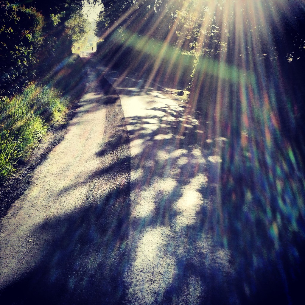
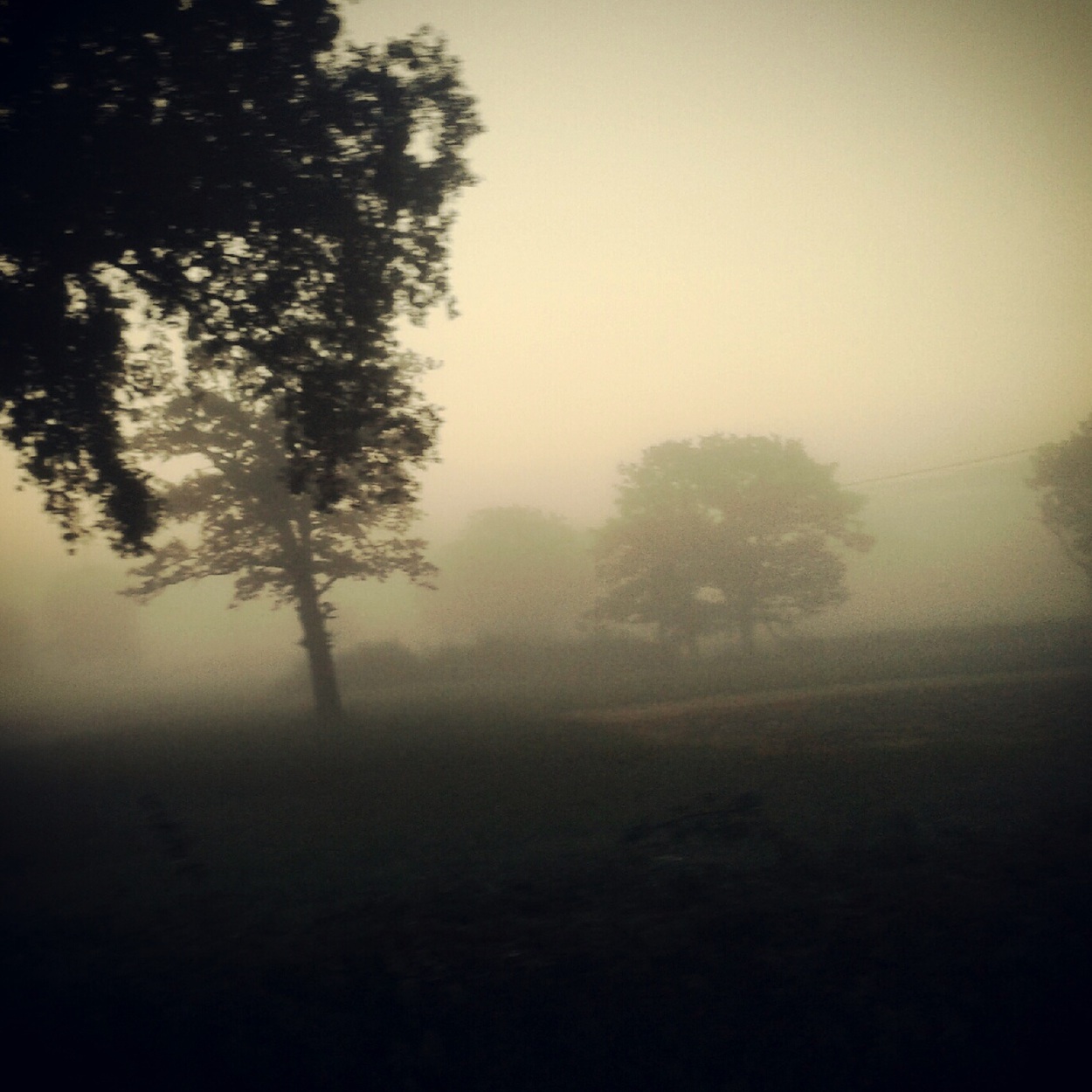
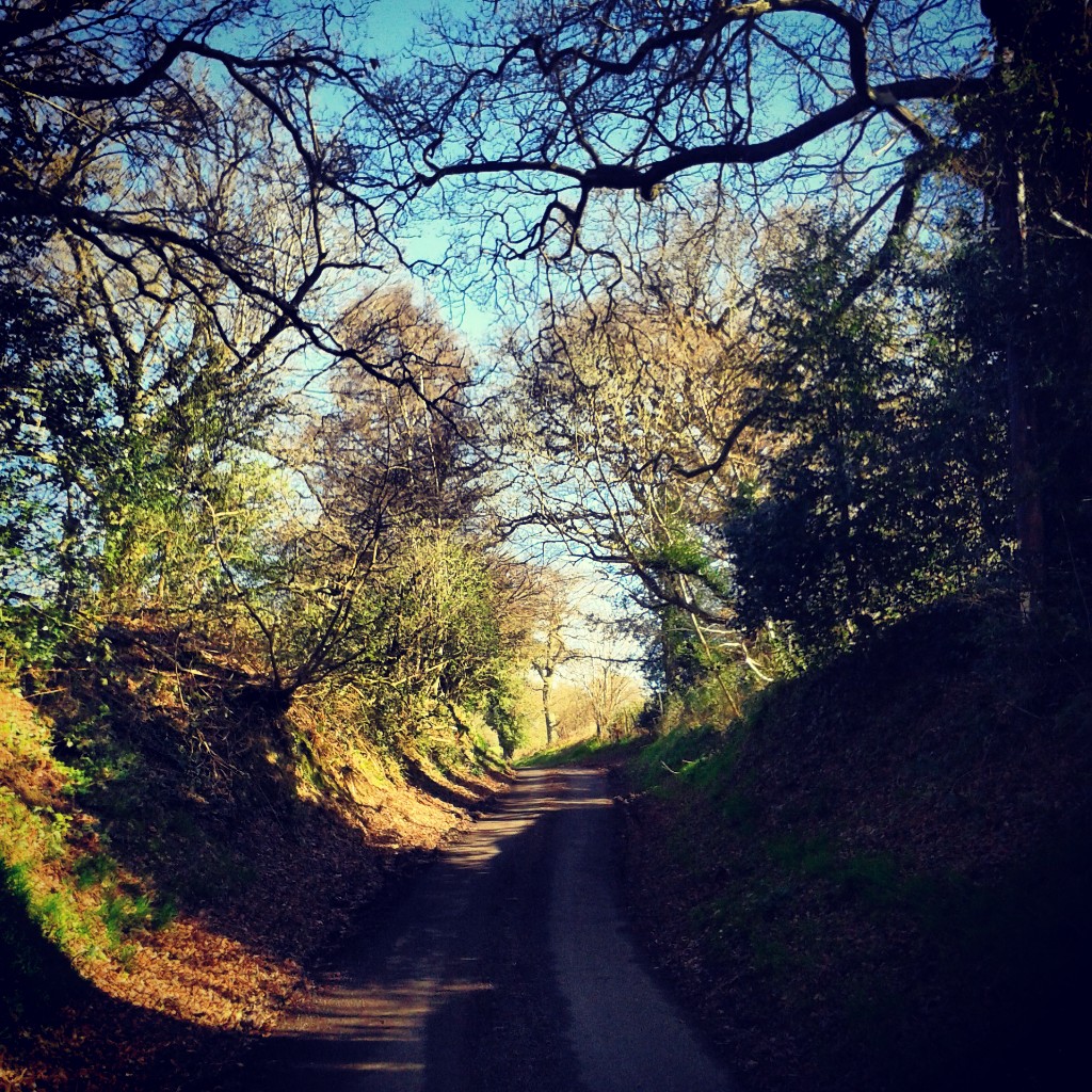
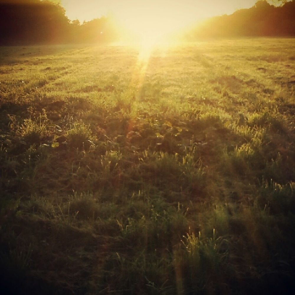
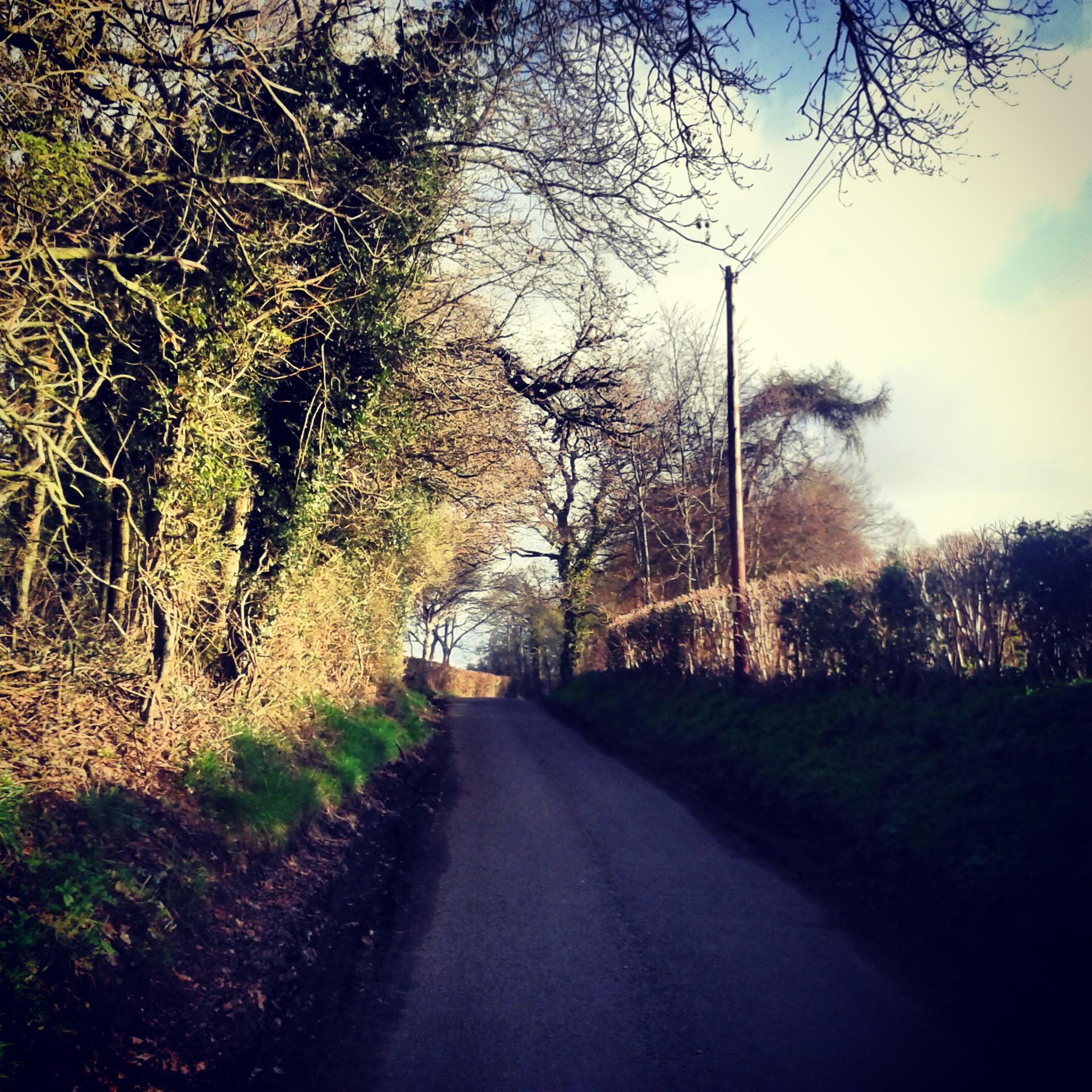
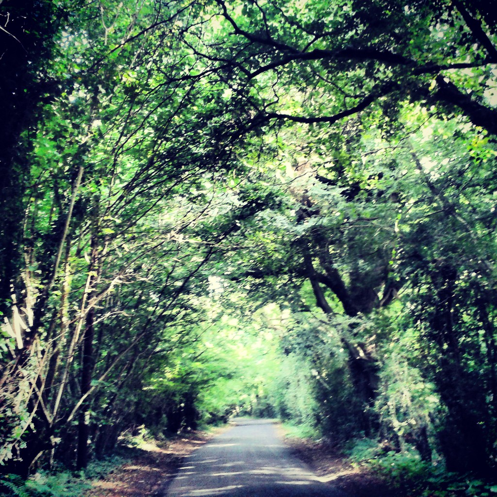
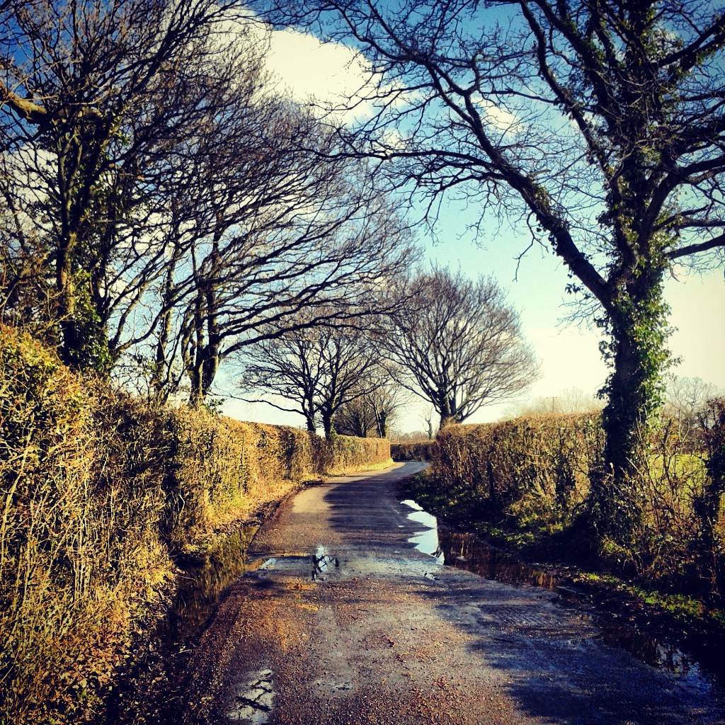
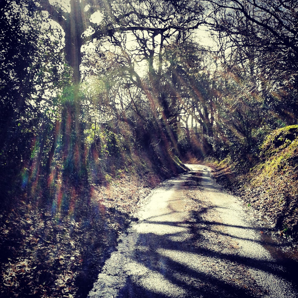
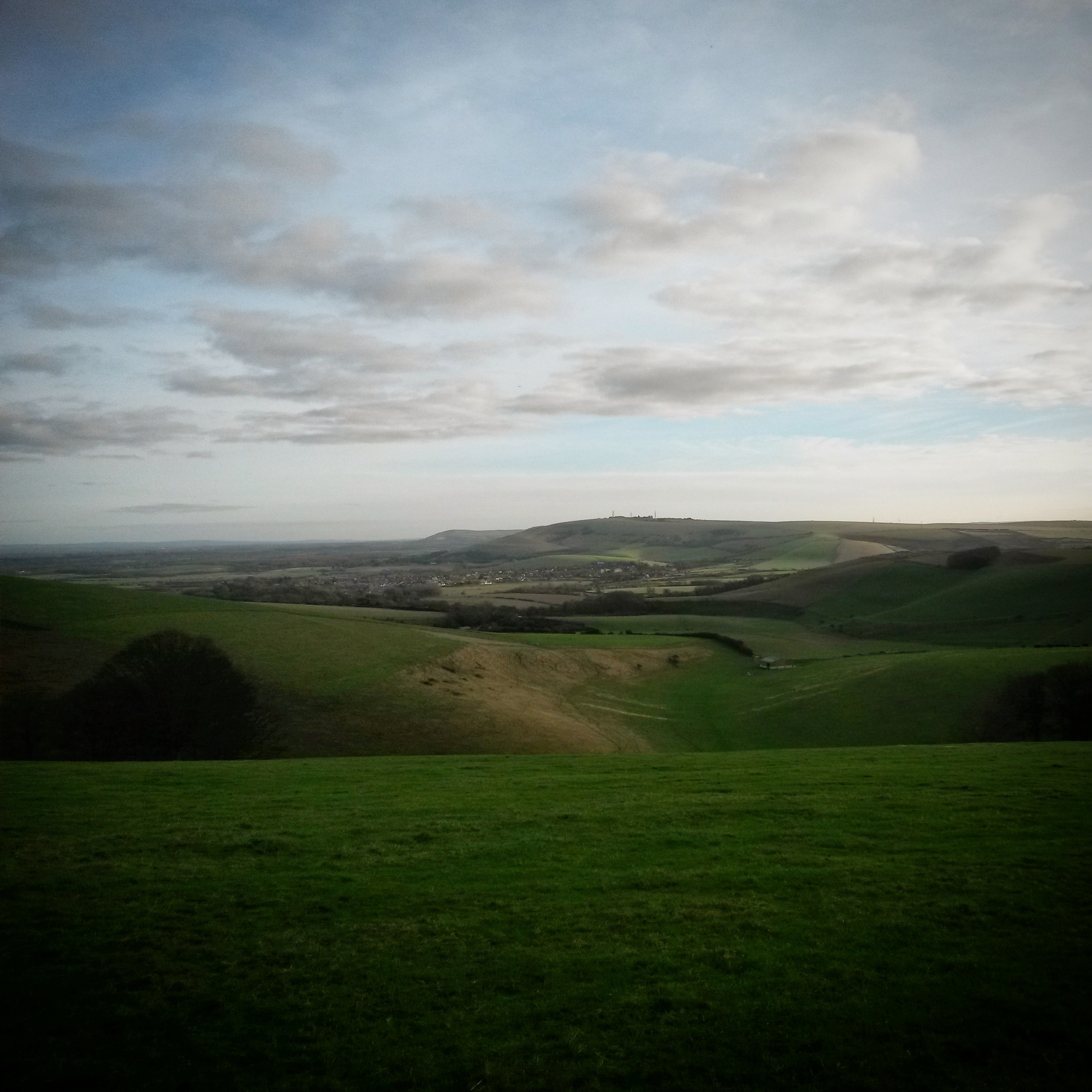
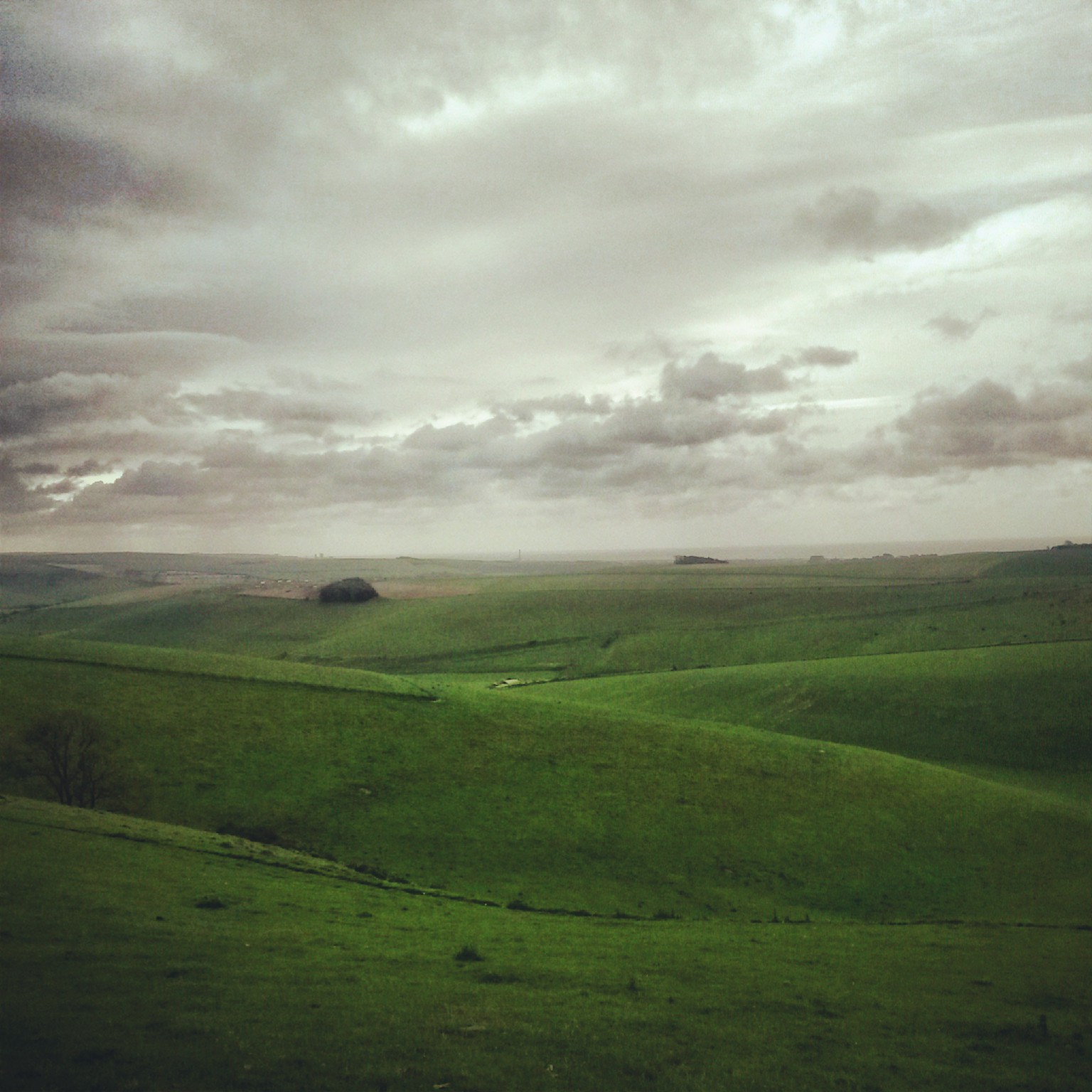
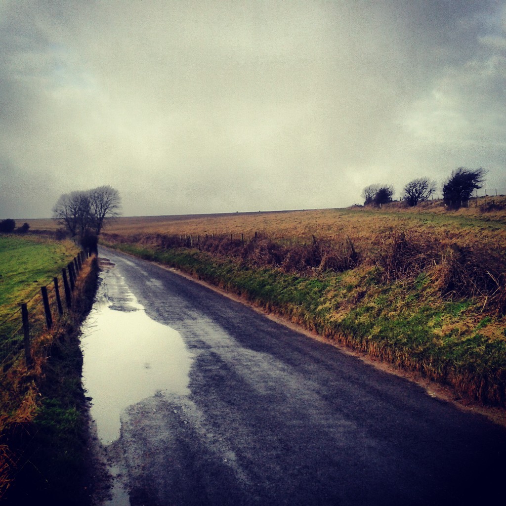
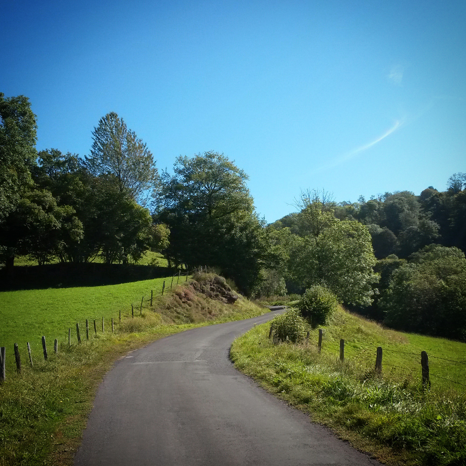
• This is less about a single lane than a network of lanes that transport you from the chalk downland hills to the clay lands of the weald, quiet narrow lanes bookended between the A23 and A281 and bisected by the A272. There are many of them, running north-south or east-west, no diagonals – Foxhole, Cross Colwood, Colwood, Twineham, Wineham, Longhouse, Picts and Bob Lanes, Bolney Chapel Road, and Kent Street – all interconnected and, one way or another, leading to Warninglid. In the middle holding this mesh together is Spronkett’s Lane.

    IMG_20140405_134203Of all the lanes in Sussex I’ve ridden these more than any other, first on weekend rambles but then regularly four, five, six times a week as a commute. Twenty six miles north followed by twenty six miles south. Spring, summer, autumn, winter. Maybe not deepest winter, not when it would be dark all the way in both directions. One week I rode them all five working days but then I was too tired to ride at the weekend. I know these lanes in the dark, the cold, the rain, but most fondly when the sun is near the horizon at either end of the day and shadows are long.

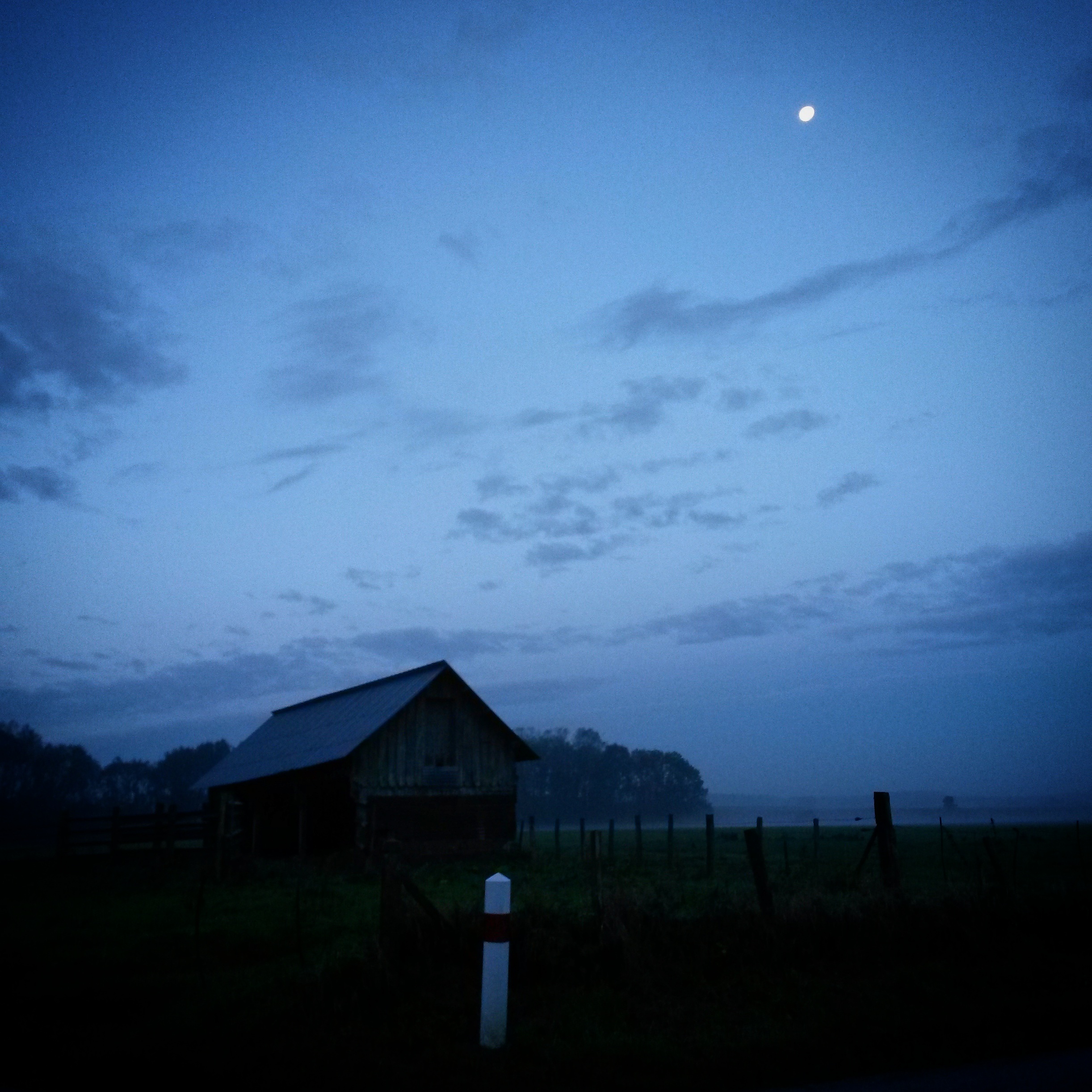
    IMG_20130529_084158Pulling kit on listening to Farming Today before leaving the house as the pips announce the start of Today. Closing the front door behind me the moon still hanging over the city, I’d climb slowly from the sea to the top of Devil’s Dyke in the dark or under that deep intense blue of early morning. From up here the whole of Sussex spread below me like a crumpled map. Jupiter or Venus still visible whilst the stars recede into the brightening blueness. The moon fading towards the horizon. Half asleep I’d wonder why Venus was over there only to realise it was a plane. The horizon was where I was aiming and I would see the weather that would be my company for the next hour or so. Some days I could see all the way to the North Downs but others only as far as the sloping edge of the South Downs mere metres away.

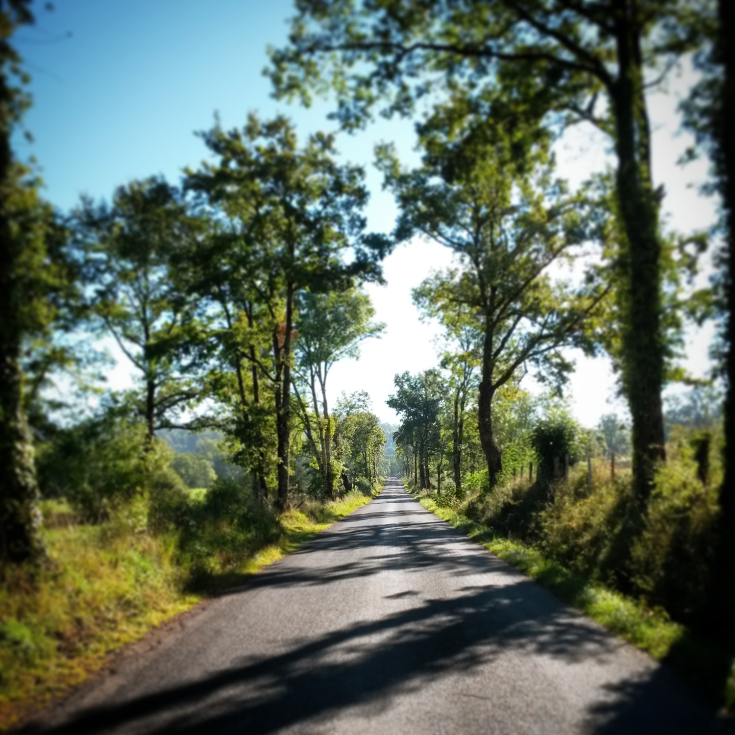
    IMG_20121004_091714_croppedSwooping off the downs I’d hit these lanes in the half light of breaking day awaiting the first shadows. The hum of tyres and gentle drivechain whirr would be accompanied by the dawn chorus, birds flitting in and out of my light beam, maybe feeding on insects attracted by the light. I could switch that light off and navigate these roads by memory. I knew every inclination, every bend, which lines to take to avoid that pothole or that manhole cover. I knew where the ice would lay in winter, where rainwater would run off the fields or out of the woods, the corners where gravel would pile up. I could ride almost without thinking allowing my mind to wander, to find it’s own thoughts.

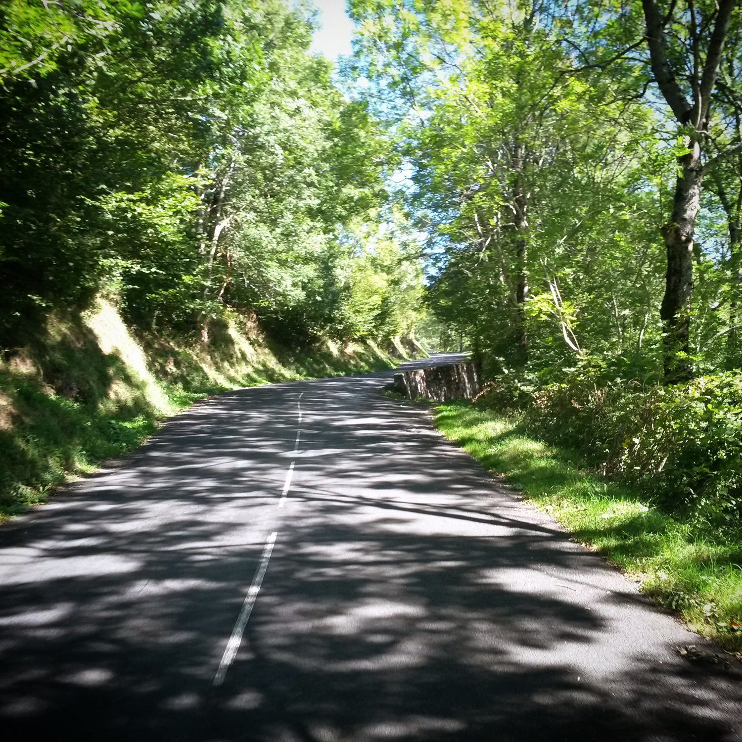
    IMG_20140324_163726The further north I got the lighter it got, sunlight starting to catch tips of bare winter branches, then scanning down trunks until duplicate shapes in shadow form seep across the ground. Rabbits would suddenly appear from hedges and a little further north from here I would regular see deer, frozen like statues in fields before bounding into woodland with a clatter of hooves on tarmac. Some mornings light would hang in the mist and drape across my path like net curtains caught on the branches. As the days got longer and the trees fuller sections of these lanes would be dowsed in a thick green light pinpricked by shafts of flickering bright white light. When the days got shorter and cooler again the greens would be replaced by shades of brown and gold above my head and below my wheels.

    IMG_20130726_191921In the mornings I’d ride whichever lanes were the shortest way north. However in the evening I’d use the lanes more as a long cut home, never knowingly the most direct route, a dawdle that aimed ultimately southwards but mostly likely wove east and west first. The flat angular corners of Bob Lane, or the twisting turning rollercoaster ride that is Cross Colwood Lane. The fast flowing downhill curves of Longhouse Lane and Kent Street became firm favourites. One day belting along Longhouse Lane I swerved to avoid what I’m sure was a grass snake, by the time I’d stopped to look back whatever it was was gone. I could ride such a variation of lanes to and from work that I needn’t ride the same route all week. Sometimes I wouldn’t retrace my tracks for two or three weeks if I rode home the really long way on stretching summer evenings, further west the other side of the A281 or even across the A24.

    IMG_20121004_092317_cropped

    To north these lanes cut through small woods or lined by shaws, thin strips of woodland between the lane and the fields beyond. Trees casting shadows opposite ways to that morning, ever changing patterns of light on the road in front of me. As you travel south the landscape opens up and flattens, more obviously arable, and the shadow trees less tangled. The dark silhouettes of the South Downs visible in the distance. Many an evening I would chase the setting sun across the weald and over those chalk hills, to where I could see it dropping behind the sea beyond the city. Time to flick on the front light again for the freewheel back home.

    IMG_20130418_092527 IMG_20130418_093224 IMG_20130418_093352 IMG_20130423_091052 IMG_20130529_200227 IMG_20130726_190646 IMG_20140216_144737 IMG_20140216_145947First published by Nowhere Fast Cycle Club in February 2014

  • In 2013 and 2014 I wrote a series of pieces about Sussex lanes for Nowhere Fast CC. The old NWFCC site has been replaced by a new Tumblr site and I’m not sure if these will be accessable anymore, so I’m archiving them here and adding some new photos. First up, Bostal Road in Steyning…

    steyningbostal4

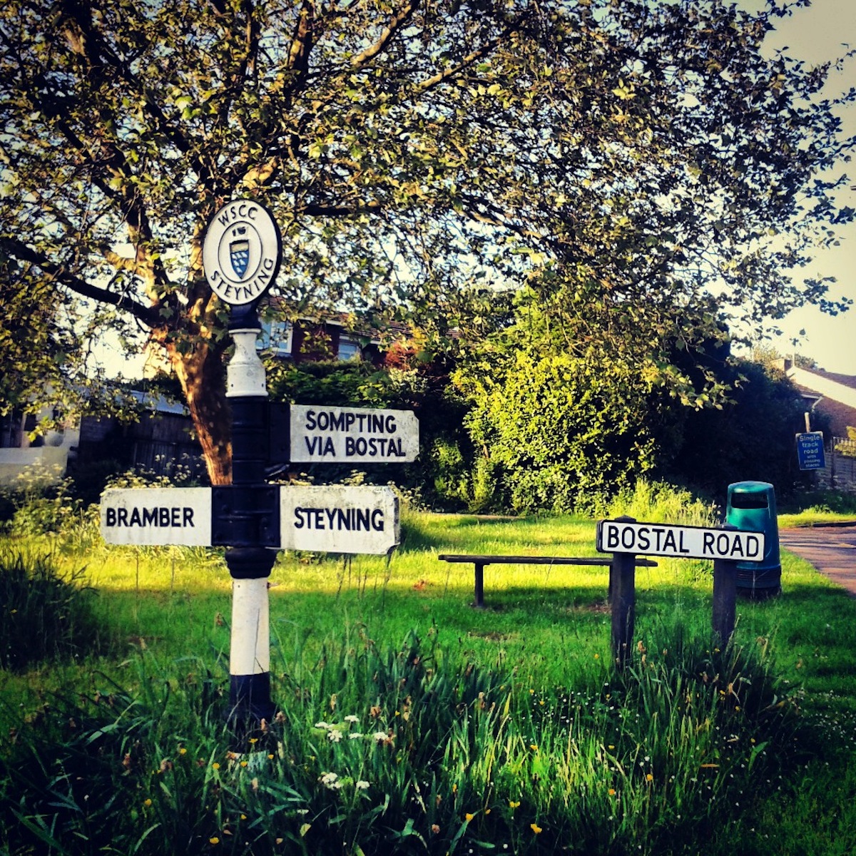
    Bostal is Sussex dialect for a narrow, winding track up a steep hill, specifically up the South Downs. All the ones I know climb the northern escarpment of the downs, are indeed steep and winding. Some like Wiston are deeply worn dirt tracks through woodland, others like Streat or Bo Peep are narrow tarmaced lanes to nowhere except a fantastic view. You ride up these just to come back down. There are others, like Ditchling, that have become holiday routes over the downs to the coast, tarmaced and wider, but still winding. Bostal Road, out of Steyning towards Sompting, is a fine example, tarmaced but rough, winding, narrow, steep, but I’m not interested in the climb itself here. This can be read about elsewhere due to its inclusion in SImon Warren’s 100 Greatest Climbs, and hence appears in many blogs and online videos. Despite the addictive nature of climbing hills that you remember in your legs, the reason I keep revisiting Bostal Road is the quarter mile section of Bostal Road across the top of the downs.

    steyningbostal5

    As you crest the summit of the climb you are confronted by a vista of curves. The road follows the rim of Steyning Bowl, a deep hollow, or coombe, on your left, worn out of the side of the downs by millenia of erosion. A tree marks the apex of the bend, the South Downs Way tangentally veers away to the west at this marker. Sheep inhabit the upper reaches of the Bowl, grazing the old chalk grassland as they have for centuries. Cows occassionally roam the scarp-foot. Agricultural patterns are superimposed on the ancient form of the land. There’s a field that when ploughed has furrows that sketch out the contour lines from the map. A farm track, Soper’s Lane, swoops down and around the concave face of the bowl. It can be seen from afar, from the Adur Valley and Truleigh Hill beyond, like a giant parabolic line describing a cross section of downs. A lane itself worthy of a climb.

    steyningbostal2

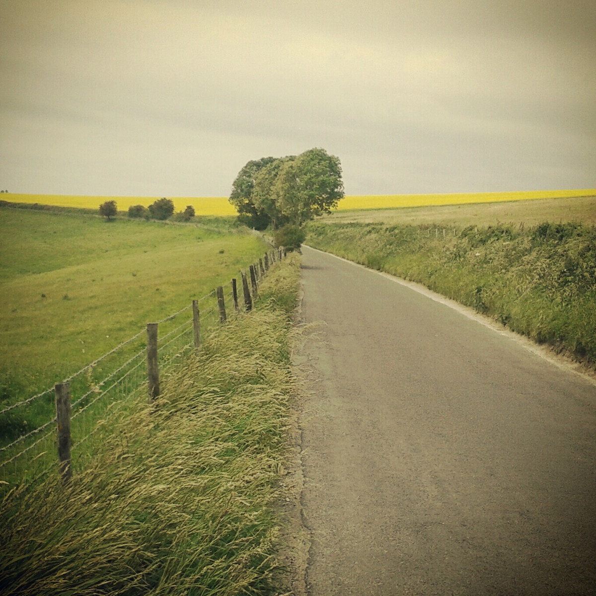
    On the western side of Bostal Road the curves are far less acute, the gentle rising and falling of downland, with the South Downs Way disappearing over a rise towards Chanctonbury Ring. Walkers and mountain bikers traverse the long distance downland bridleway between fields of crops. Colours and textures change through the year; naked, brown earth in winter, the vibrant hues of meadow and rape flowers in spring, lush and verdant in summer, harvested in autumn.

    steyningbostal001

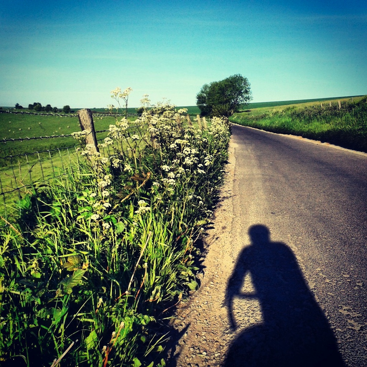
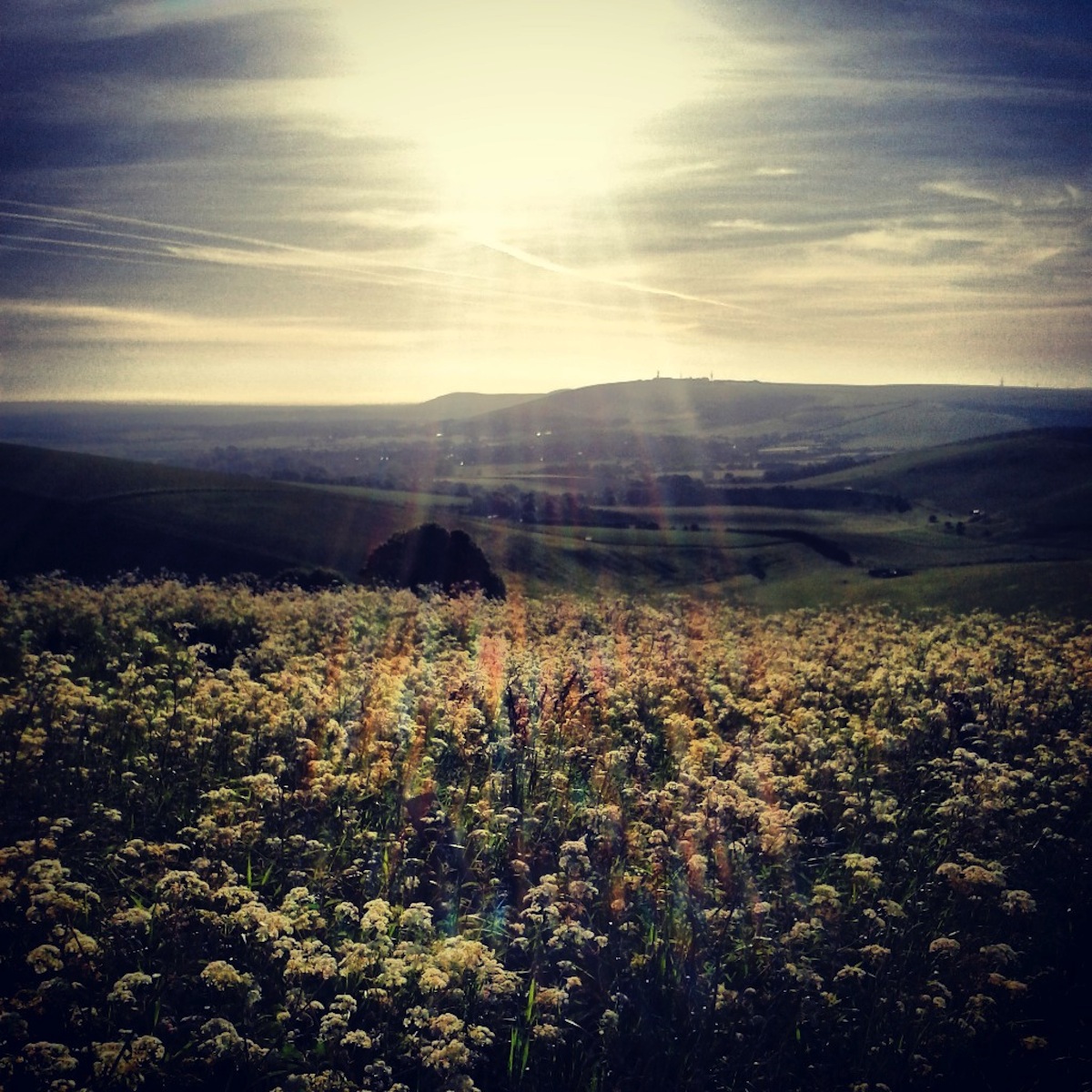
    From up here you can see all the way across the Sussex Low Weald as far as the North Downs in Surrey; to the east the distinctive shapes of Truleigh and Newtimber hills; to the south the straight edge where the English Channel meets the sky. I can see all the way home to Brighton beyond the chimney at Shoreham Harbour. Early in the morning the sun’s rays beaming in from low in the eastern sky are caught and intensified in the hollow, as if a massive natural radar dish. At the other end of the day, as the sun descends long shadows are cast even longer down the slopes, five metre trees become 100 metre giants.

    steyningbostal6

    I’ve been up here in all weathers. Days when it’s so still and warm you can smell the heated tarmac, other days when the winds are so strong the gusts whistle through your spokes. If the wind is from the north or west it will push you around the ridge, if it’s from the south you’ll be cursing and ducking out of it, pushing hard to get around. I’ve sat here, resting on my top tube, watching cumulous cloud shadows scud across the weald and race up the ramps of the escarpment. I’ve been here in low cloud, rain running down my face, unable to see anything other than a few tens of metres in any direction. Actually, I’ve not been up in in snow. Last time I tried the road was closed, so I rode around to the bottom of Soper’s Lane, and gazed longingly at the ridge, trees silhouetted against the white sky, before turning around, defeated. Next time it snows I will be back with a ‘cross bike and ice tyres! However, I’ll be back here long before the next snows. In fact I’ve been up there twice this last week.

    steyningbostal3

    IMG_20141220_093239 IMG_20140511_084045 IMG_20140125_131019

    First published by Nowhere Fast Cycle Club in June 2013

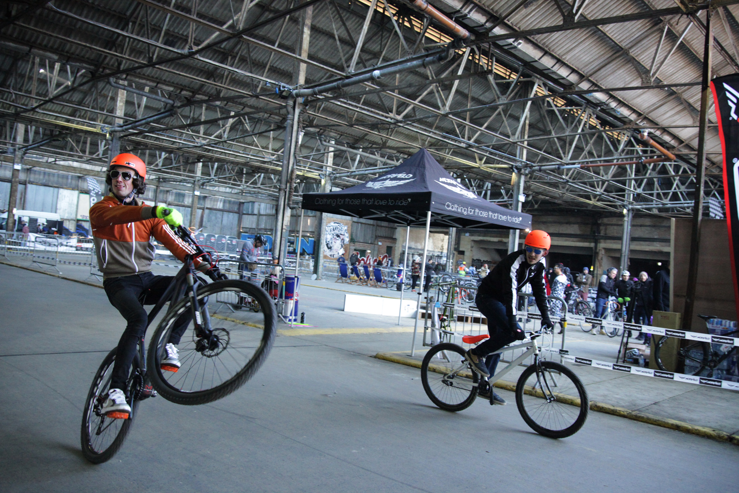
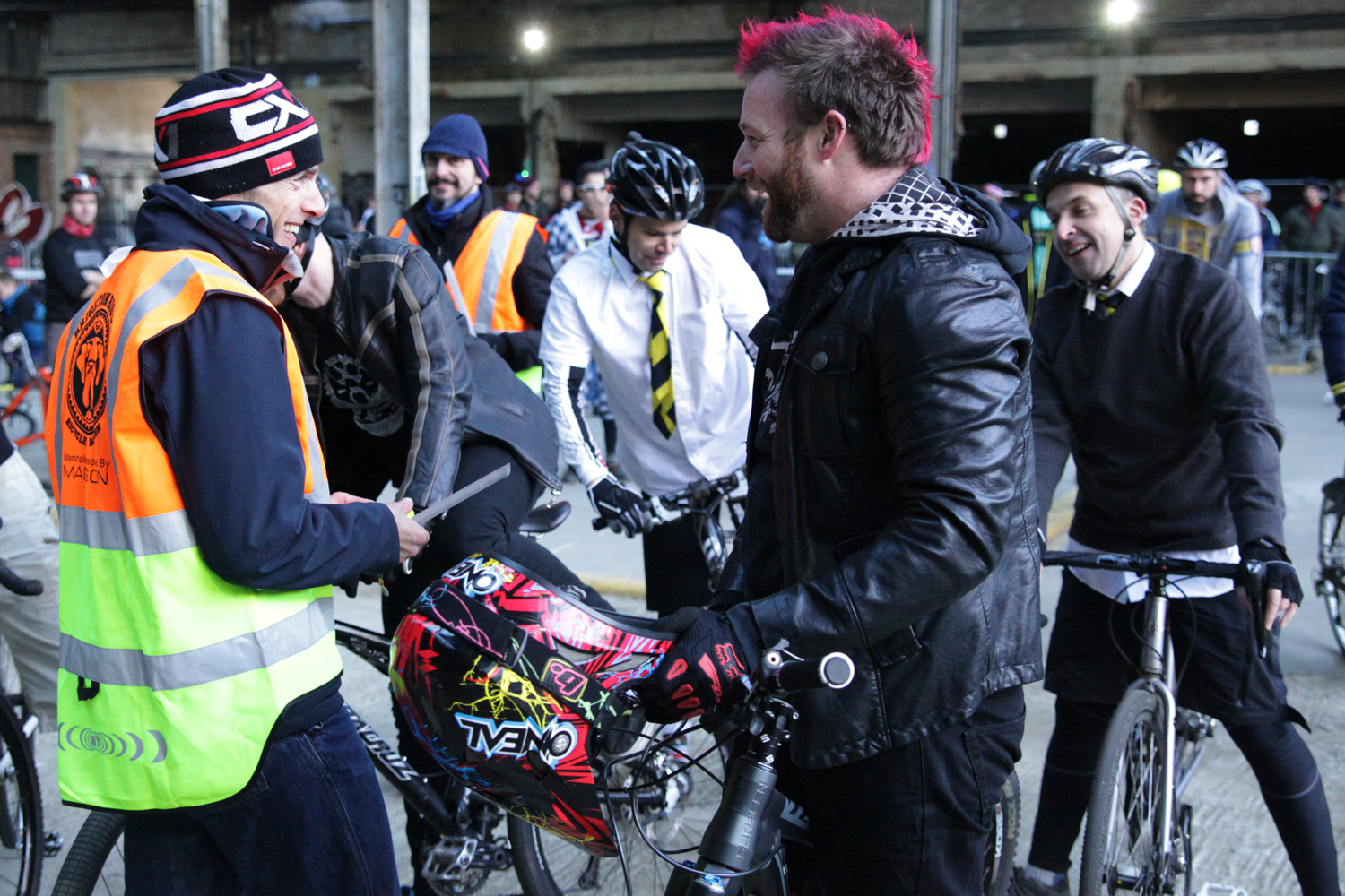
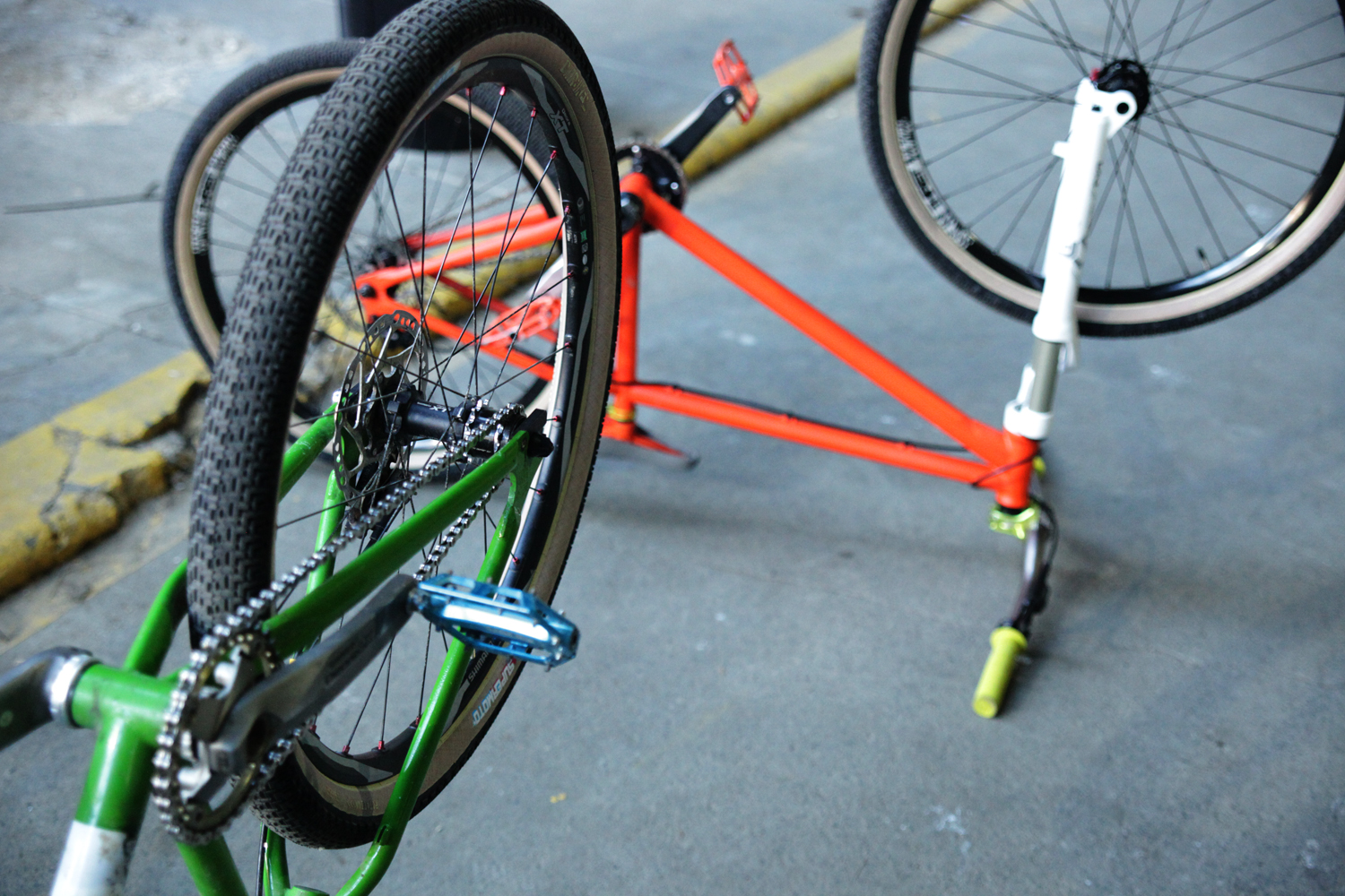
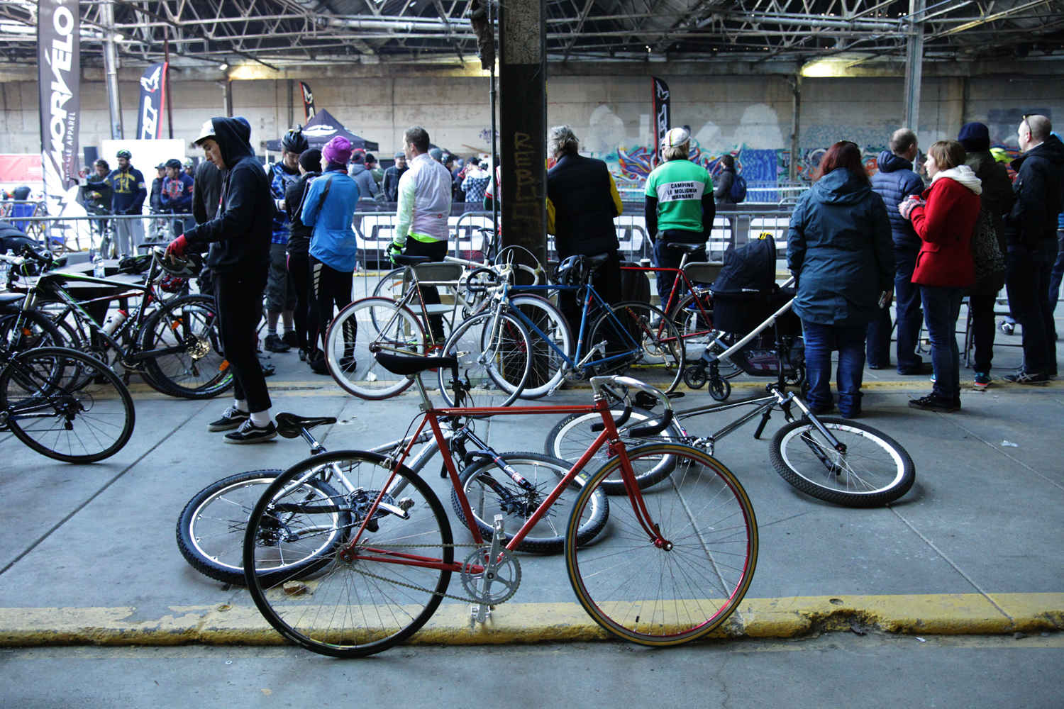
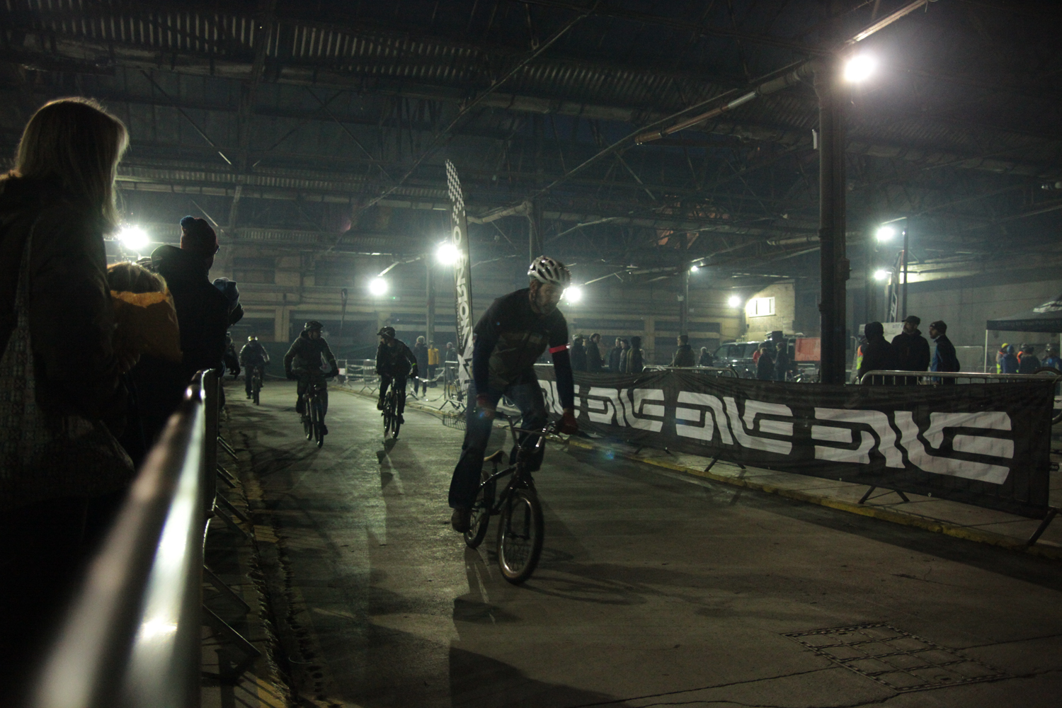
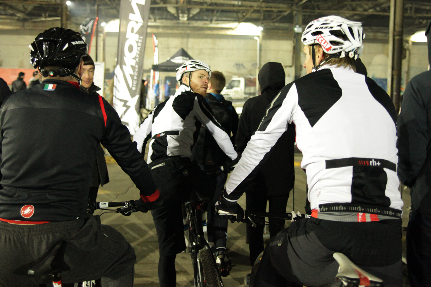
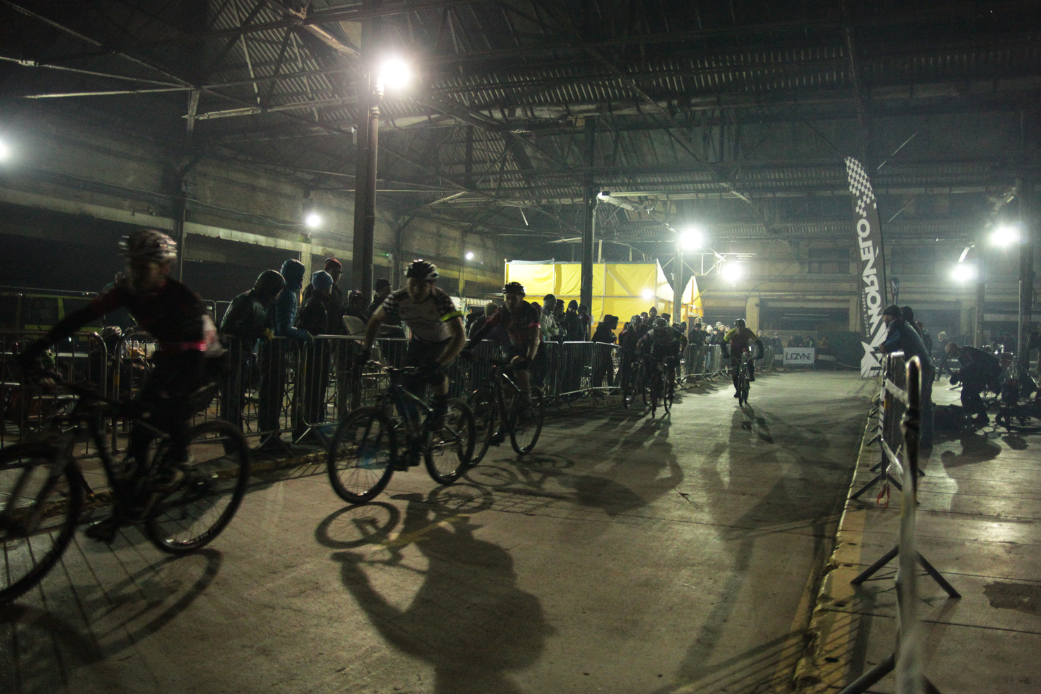
  • Morvelo Battle Royale

    IMG_3077_sm IMG_3084_sm IMG_3108_sm IMG_3121_sm IMG_3153_cropped IMG_3186_sm IMG_3265_cropped IMG_3307_sm IMG_3315_sm IMG_3378_cropped IMG_3390_sm IMG_3394_sm IMG_3405_cropped IMG_3411_sm IMG_3454_cropped IMG_3479_sm IMG_3498_sm IMG_3500_cropped IMG_3511_cropped IMG_3523_cropped IMG_3539_sm IMG_3543_cropped IMG_3547_cropped IMG_3578_cropped IMG_3592_cropped IMG_3607_sm IMG_3616_cropped IMG_3643_cropped IMG_3682_sm

  • The sky overhead is crashing and sparking setting off car alarms and scaring the hell out of dogs. Rain is absolutely hammering down. It’s not ideal cycling weather. I’m heading to the pub to meet friends, but where most will sensibly stay at the pub all evening two of us, Nigel and myself, will head off for the overnight ferry to Dieppe. We’ve planned a 24 hour trip to Normandy to ride a 200km Raid Dieppe randonnee route from the summer to make the most of the clement autumn weather before it turns for good. Obviously it’s not so clement right now but the forecast for tomorrow over the channel is clear and mild. After a swift half we set off along the coast to Newhaven. Lightening is flashing over the sea which doesn’t bode well for a smooth crossing…

    In fact the crossing isn’t too bad, if anything the gentle rolling of the ferry aids sleep. It’s only a four hour crossing and we’ll dock at 4am French time so the aim is to get as much sleep as possible. However, fitfull sleep is all I manage and long before dawn and still half asleep I roll down the ramp into France and drizzle. Nigel boots up the Garmin (I’m still reliant on paper maps and scribbled route notes) and we head for a cash machine whilst it locates some satellites. We head off through the empty town east via industrial estates until we reach unlit roads out into the hills. The sky continues to leak and clouds are animated by a bright moon. It’s promising that we can see the moon, it means the cloud is broken and not thick. There’s enough moonlight to make sense of the landscape around us, open farmland interspersed by wooded hills, but we can only really see what is illuminated by our lights, damp roads and fallen leaves. Red beacons flash atop wind turbines on the ridges towards the coast. After a couple of hours there’s a long fast descent into the Bresle valley before we immediately turn back up the valley side twisting through forest towards a lightening sky. Dawn must be on it’s way, cockerels are calling the sun as we pass through villages. As light seeps into the sky the rain fades away, moonlit clouds gradually give way to a washed out pale blue sky, growing more vibrant by the minute.

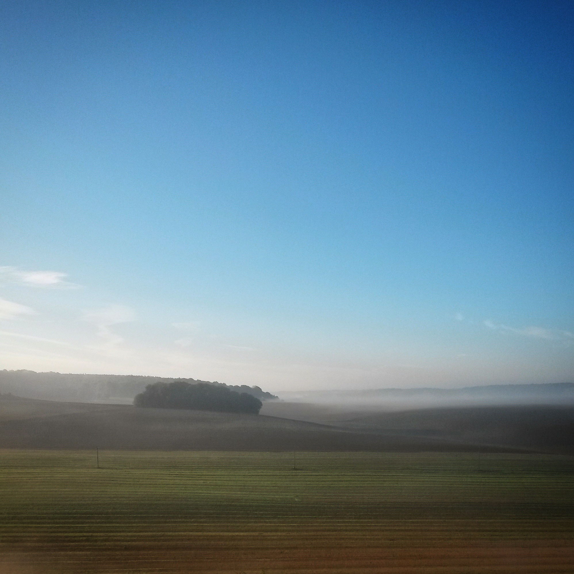
    We’re 80km down as we hit the town of Londinieres where we spot a cafe. Time for a breakfast of coffee, hot chocolate and chocolate almond croissants. As we climb away from breakfast the moon hangs in a vivid blue sky and the low sun stretches shadows across the road. Whilst there’s no cloud above us but there’s plenty below us, as we freewheel into thick mist in the Bethune valley picking up the Avenue Verte. We follow the path of the river north to where it merges with the Varenne becoming the River Arques running into Dieppe. Where the rivers meet a ghostly muted grey waterscape emerges from the mist. Skirting the edges of lakes we pass old men in wellies riding mountain bikes with fishing rods strapped to top tubes. Rather than follow the river all the way back into Dieppe, we climb west out of the valley emerging back into the sun warming the day. Layers are slowly relegated into saddlebags.

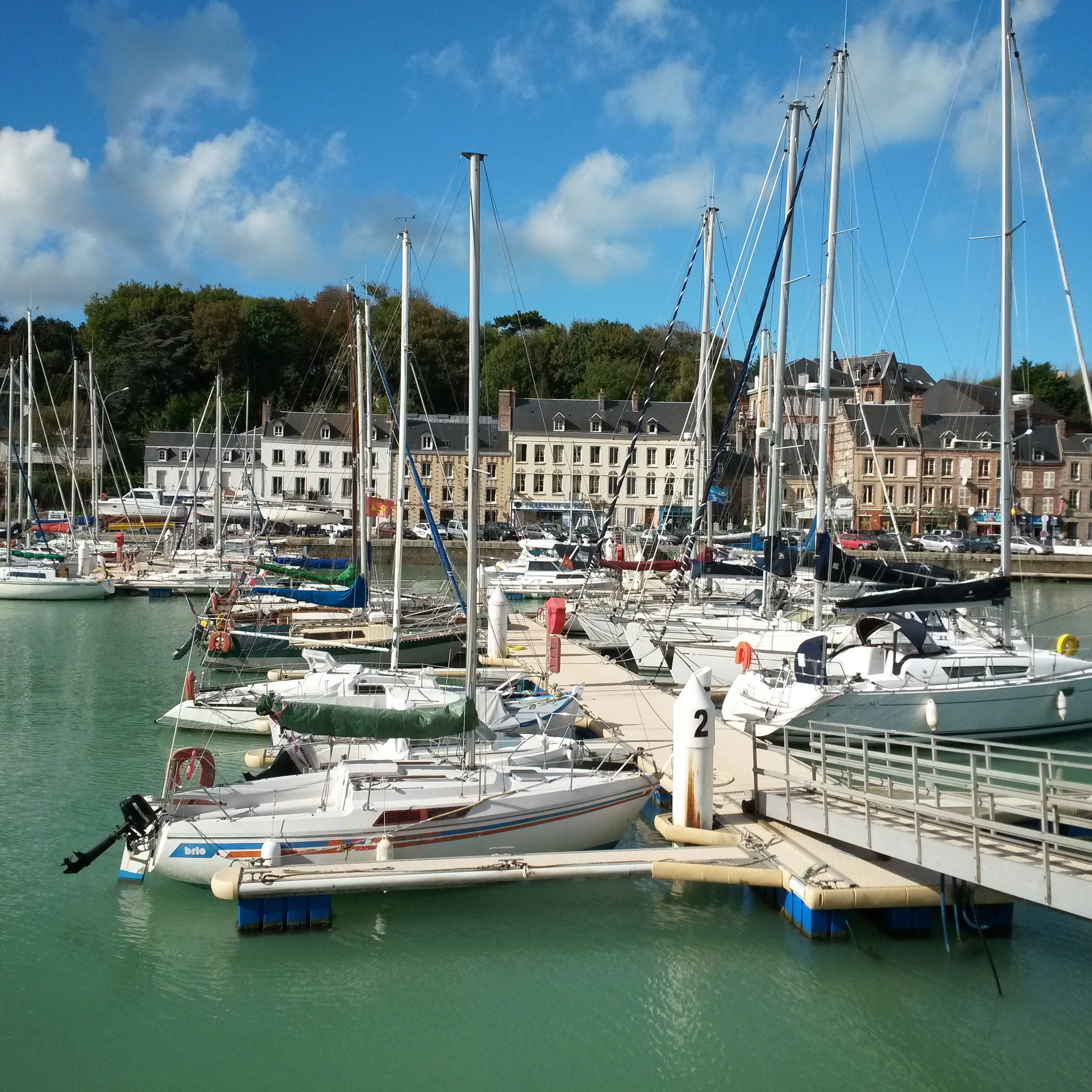
    This side of Dieppe is a landscape of agriculture, reminiscent of the east of England. It’s lumpier than our eastern counties but not as hilly as the country we rode the eastern side of Dieppe. The path of roads are visible far ahead running along the borders of fields, occasionally dipping from sight. Dark, ploughed fields ripple away from the roads edge. Every now and again a golden field of corn drys for animal feed or a verdant carpet of fresh beet reaches towards the horizon. Dogs bark at us from behind fences and hedges at every village. Before we turn north for the coast we stop at a bar for a drink and to replenish fading water supplies. Following narrow winding lanes we soon hit the coast where the water is a shade of blue rarely seen our side of the channel. Looking across the marina at Saint-Valery-en-Caux it could be July rather than mid-October.

    It’s only about 40km back to Dieppe from here but there are a lot of headlands to clamber over. As much as the climbs hurt the thighs the descents are fast twisty fun. Looking back along the coast we see jagged cliffs rising straight from the sea making visible the route profile we’ve ridden for the last hour. We weave hairpins over the final headland before dropping like a stone back onto the one way system in Dieppe where we started out early this morning. It’s market day and the town is now awake and busy. We head for the quayside to find a suitable late lunch.

    A couple of hours and three courses later we trundle back to the ferry terminal for a rest before boarding for home. We’ve ridden a few kilometres short of the 200 but I’m assuming this is because we didn’t take any detours for controls on the official ride. However the extra kilometres on the English coast will bump us well over 200km. I don’t remember too much of the sailing home as I napped most of the way, except for when I stayed conscious long enough to eat some more. Back in Blighty we roll off the ferry into the dark again. Pretty much 24 hours after we set off we spin along the cyclepath back into Brighton.

    More details about the official Raid Dieppe events at http://www.dieppetour.com

    Route: http://www.strava.com/activities/206135705

    IMG_20141011_214729

    IMG_20141011_163109

    IMG_20141011_214108

    IMG_20141012_081652

    IMG_20141011_213222

    IMG_20141011_163539

    IMG_20141012_132502

    IMG_20141012_132241

    IMG_20141012_075901

    IMG_20141011_162603

    IMG_20141011_162959

    IMG_20141011_231049

    IMG_20141011_231226

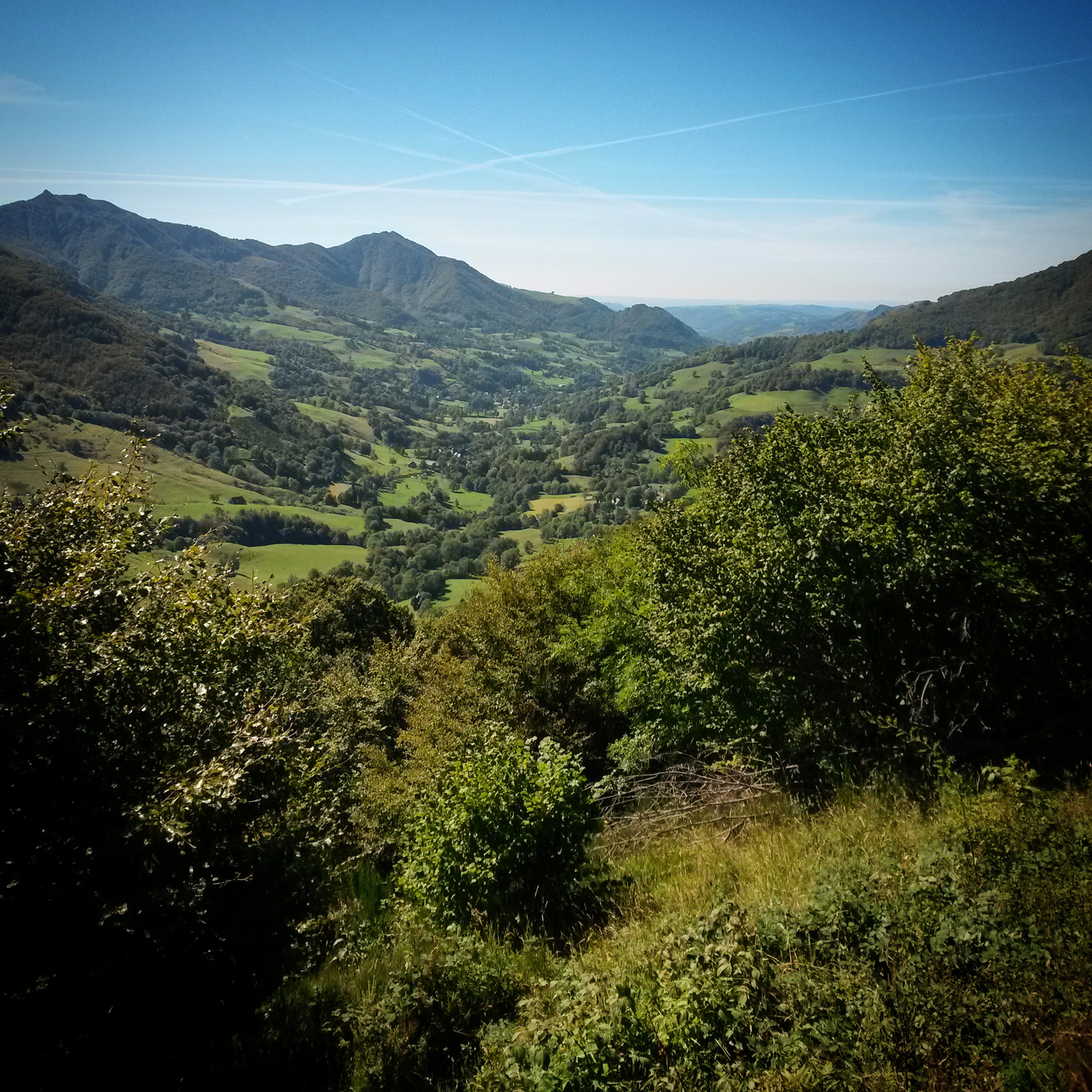
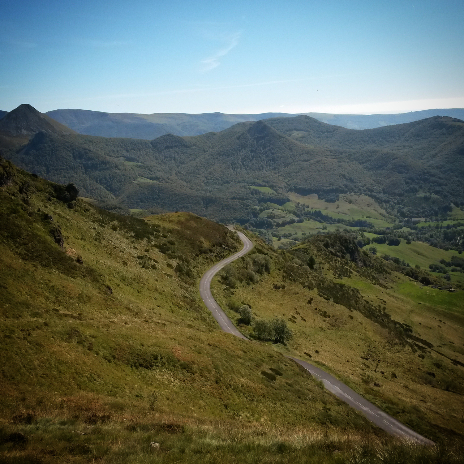
  • …and I start to climb and climb and climb. From the river’s edge to meet the rising sun. Out of the shadows, layer upon layer of blue-green hills stretch away and morph into the sky. Out of the valley and onto the plateau, the horizon jagged like the torn edge of a piece of paper. Land ripples and rolls, rouleur country. Below to my left mist betrays the course of the river in the gorge. To my right the silhouettes of the big hills loom. That is where I’m heading.

    IMG_20140926_175726 IMG_20140926_180238 IMG_20140926_180429 IMG_20140927_134154 IMG_20140926_180852 IMG_20140926_181416 IMG_20140926_181641 IMG_20140926_181813 IMG_20140926_182642 IMG_20140926_183545 IMG_20140926_183914 IMG_20140926_184735 IMG_20140926_185608 IMG_20140926_185946 IMG_20140926_191034 IMG_20140926_191217 IMG_20140926_191620 IMG_20140926_192857

  • I am in Hebden Bridge in Yorkshire to ride the Not Quite The Spurn Head 400 at the invitation of my friend Luke, and finally on the Singular Peregrine that had been bought with audaxing in mind but has taken a while longer to build than anticipated. Bikes are checked over, wine is drunk, and alarms set for 4am. This will give us time for breakfast before the 10km ride to the 5.30am start in Sowerby Bridge.

    Riders are waiting around the market square in Sowerby Bridge for brevet cards and the off. There are two rides heading off, our one out past Leeds and Hull to the mouth of the Humber and back again, and The Old 240 which heads across the Yorkshire Dales into Cumbria and back via a vast tract of hilly land. As beautiful as The Old 240 route sounds it also has 6500 metres of climbing. My friend Mike who I drove up with is riding that one but I’ve decided it’s probably not for me on this occasion. The Spurn Head ride is front and end loaded with big hills but is mostly flat with a few other smaller hills around Hull and Beverley. Once brevet cards have been collected and pocketed, Garmins set, and route sheets organised, the small field of riders rolls down the street. The Old 240 lot turn left at the lights as we continue straight on.

    Autosave-File vom d-lab2/3 der AgfaPhoto GmbH

    Autosave-File vom d-lab2/3 der AgfaPhoto GmbH

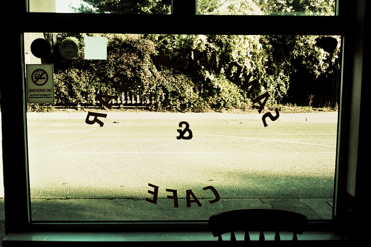
    The first few kilometres are up and over hills through and around Halifax and Huddersfield as the sky lightens and the rising sun blinds us. Unfortunately, on a suburban street Luke punctures enforcing an impromptu stop to change the tube. We push on over more climbs until we reach the first control, Busy Lizzie’s Sandwich Bar in Castleford. We stick stickers in our brevets and order mugs of sugary tea. Now it’s light and I’m actually awake I recognise a couple of faces, Calvin from London who was on both the Ditchling Devil and Straight Outta Hackney rides who is riding with a friend called Pete, and a chap (who I later discover is called Jim) who I am sure I saw on the Fairies Flattest Possible 300.

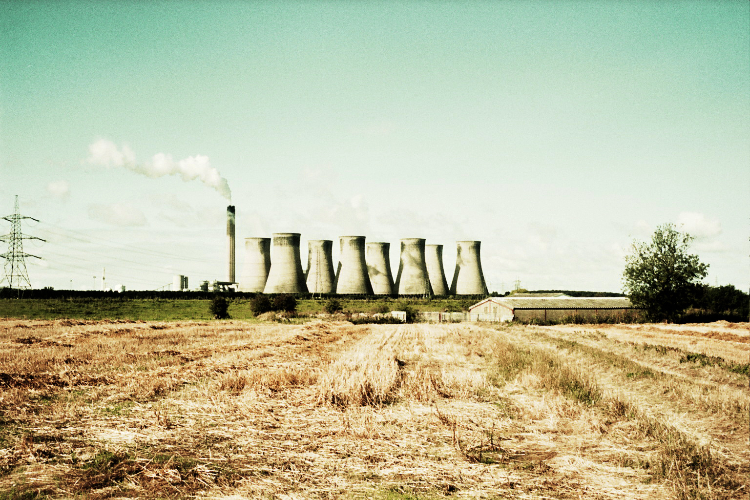
    Soon we’re heading off again, and in true audax fashion there is a climb straight after the food stop. Though once over this we are spinning along chatting through flat open farmland, power station cooling towers looming on the horizons to the left and to the right. Then Luke realises he has another flat. This time the tyre is changed too and no more punctures are suffered all day.

    Autosave-File vom d-lab2/3 der AgfaPhoto GmbHAutosave-File vom d-lab2/3 der AgfaPhoto GmbH

    Crossing the Boothferry Bridge we hit a long drag towards North Cave, taking turns on the front and wondering when this seemingly never-ending road will finish. Eventually, it reaches an end as we pass through North Cave towards South Cave, past the tall fences of Everthorpe and Wold prisons. At South Cave we reach our second control, a rather splendid Italian bakery where a calzone is very happily consumed. The sun is shining and arm warmers and gilets are stowed away. As is standard, within minutes of leaving the control we’re climbing again. However, it’s a much kinder gradient than the earlier climbs and is followed by a long descent towards the outer suburbs of Hull.
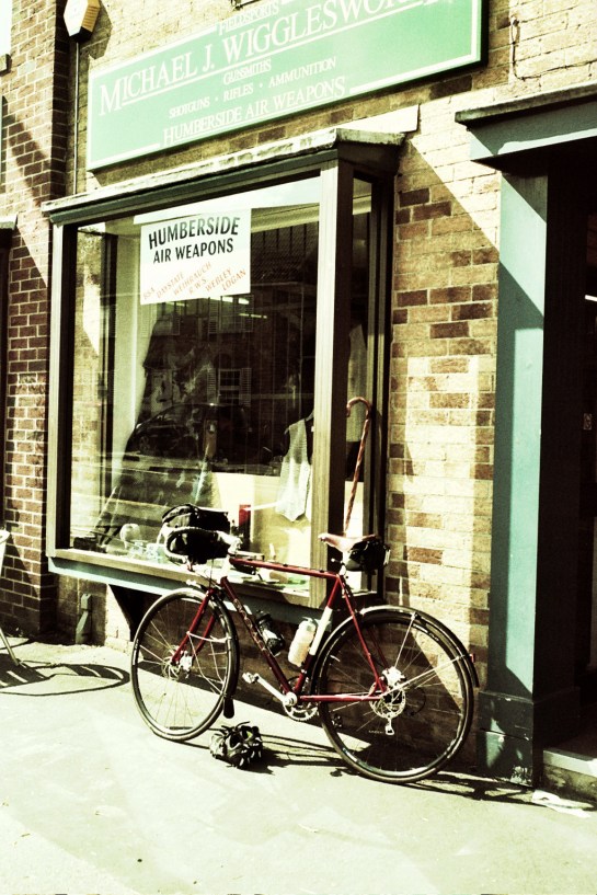
    Autosave-File vom d-lab2/3 der AgfaPhoto GmbHTypically as we removed gilets at the last stop it starts to spit with rain. The sky ahead looks ominous. We stop under a bridge to don rain jackets. Pete and Calvin pull in behind us and we set off as a group of four. As we navigate our way through the out-of-town superstores, it starts to hail and rain more and more heavily. By the time we’re out into the countryside beyond the city it starts to absolutely hammer down. We’ve lost Calvin but gained a couple on a tandem. Despite mudguards and rain jacket I’m soaked through and my feet are sopping wet. We appear to no longer be riding on roads but through rivers. Rain is falling quicker than it can drain away. The horizon gets greyer and murkier and more and more indistinct. Rain drips from my cap and I can’t really see where we’re going but I can make out the silhouettes of a riders cowering under some trees ahead. It’s a bit like closing the stable door after the horse has bolted but we decide to stop too.

    As the dark clouds move ahead the other riders head off. Luke, Pete and I remain a bit longer in order to let the rain get far enough ahead of us that we won’t ride in to it again. Calvin appears out of the gloom a few minutes later so we continue four-up towards the North Sea. The landscape is pan flat and there is a lot of sky arching over us, much of it grey and angry looking, but there’s enough blue to the north west to lift the spirits. Suddenly we’re alongside the mudflats of the Humber estuary, and then turning a right angled corner the North Sea is ahead of us just beyond the 170km control at the Blue Bell Cafe. Damp clothing is hung over chairs before staggering to the counter to stamp our brevets, and order hot food and tea. And cake. And an emergency Twix.

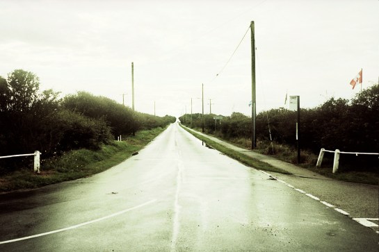
    Autosave-File vom d-lab2/3 der AgfaPhoto GmbH Autosave-File vom d-lab2/3 der AgfaPhoto GmbH

    Post lunch we follow our tracks back along the headland and continue to trace the coastline through Withernsea into a headwind. We’ve gained another rider but I can’t remember his name, if I actually ever knew it. He stays with us until the next control but then we don’t see him again until the final control. The roads are straight and borderless, there seem to be no hedges in this part of the country. We start to zig zag back inland towards the next control, a petrol station at Leven. A bottle of water and a pork pie are purchased, the receipt tucked inside my brevet. An extra layer is put on as the sun is getting low and with it the temperature is dropping fast.
    Autosave-File vom d-lab2/3 der AgfaPhoto GmbH Autosave-File vom d-lab2/3 der AgfaPhoto GmbH

    We crack on. Somewhere along the way we are faced with a flooded underpass and bottle it. We clamber over a crash barrier and dash across the main road instead. Getting caught at a level crossing gives me time to take in the splendour of Beverly Minster, before we start to climb again, a long steady drag as dusk falls. Over the top all of Yorkshire stretches out in front of us and we flick on our lights. The sun sinks behind the horizon as we drop back towards North Cave to rejoin part of our earlier route. Somewhere along the way we drop Calvin again but I don’t realise as I’m too busy avoiding potholes in the dark to look over my shoulder. It starts to rain heavily again and I’ve lost my place on the route sheet that I can barely see through the rain in the light of street lamps. Fortunately both Pete and Luke have Garmins and after a quick discussion at a roundabout where we’ve all taken different exits we find ourselves on the right road and only a few kilometres from the next control. Ashamed as I am to admit it I have never been so very happy to see a MacDonalds!

    I suspect Calvin feels the same as he traipses in ten minutes after us. Jim arrives a little later and informs us that the underpass we avoided was flooded up to his bottom bracket. After warm food, tea, and a futile attempt to dry mitts and cap under a hand dryer it’s back out into the chilly damp darkness. What follows may be slightly incoherent, possibly not a true reflection of events, and almost certainly not in the correct order.

    We head for the Old Goole Road passing through a sodium lit industrial landscape that is eerily still and silent. We continue into a flat darkness. It’s a new moon so there is no light out here other than that streaming from our headlights. A pool of light created by my riding companions surrounds me. It feels like a protective halo against whatever may be out there in the darkness. As long as I stay within the light I’m safe. This road seems to go on and on forever which may or may not be related to the waves of tiredness surging through my every cell. At the next junction I seem determined to turn right despite the route sheet, the signpost and everyone telling me to turn left.

    Drunk people smoking outside a pub heckle us. Somewhere further down the road Calvin mentions it’s ten past two. I thought it was about midnight. It appears North Lincolnshire is some kind of time vortex. Oh yeah, we’re not in Yorkshire anymore, we crossed a border somewhere. We pass an electronic traffic sign that flashes our speed at us; 12mph, then 11mph. This explains a lot. We pass through towns lit orange by street lamps. There are bus shelters that look very comfortable. We miss a turning. We turn around.

    We leave the orange glow behind and enter into blackness again. Roads start to rise and fall gently, then not so gently. We miss a turning again. We turn around again. In wooded lanes our lightbeams cast our shadows as giants amongst the trees. There’s a rabbit in the road. I almost run it over. There’s very little chat. Pete falls over. Not falls off, he very matter of factly, simply falls over. We climb higher and higher. I want to stop. I need to stop. If there was any option other than to continue to pedal I would take it right now. Riding a bicycle has never felt so futile and downright ridiculous.

    A short while later we’re navigating ourselves around an empty car park trying to find the entrance to the Woolley Edge Services on the M1. We push our bikes inside and buy tea and pork pies and cake and water and…my head is nodding, I can barely keep my eyes open. I very seriously want to give up. We’ve ridden 375km and can almost see the finish but I just want to stop now. I’m not sure I can actually continue. Even if I could I can’t be arsed. My resolve has been left somewhere on the road the other side of that hill I just hauled myself over. I am starting to seriously doubt I have the mental fortitude for this audaxing nonsense. And believe me, right now this is nonsense. My body is screaming at me to sleep.

    Autosave-File vom d-lab2/3 der AgfaPhoto GmbH

    We step back outside and light is creeping into the sky, I can make the outlines of trees against a dense turquoise, I can make out layers of hills, the world is no longer shallow and flat, dawn is breaking. Again. The light has an uncanny effect on both my physical and mental being. I’m pushing the pedals harder. A new found determination grows as the darkness recedes. The lighter it gets the faster we roll, or at least it feels like it. The sun breaks over the hills behind us and we’re racing our shadows stretching along the tarmac. Each climb seems to be longer and higher than the last but I don’t care, I can see Halifax down below and that means we must be near the finish.

    We make it to the arrivee with 36 minutes to spare*.

    Many thanks to Luke and Alison for their hospitality, to Luke (again), Pete and Calvin for their company on the ride, and to Mike for buying the custard creams and Red Bull for the drive home.

    There’s also a post from my ride partner at http://cyclismespandelles.com

    Photos taken with an Olympus Trip 35 using Fuji Provia 100 slide film which was then cross processed.


    *I must have been knackered as when I received the brevet card back six months later I realised we were one hour and thirty six minutes within the time limit. Which meant I could have had a kip somewhere.

  • Just a cheeky little 200 to squeeze in before the 400 in a couple of weeks.

    After a fitful nap on the crack o’ sparrows train up from Brighton I hop off at London Bridge for a gentle spin up to the Salisbury Hotel in Harringay. The ride is organised by Audax Club Hackney, hence the name, but actually starts and finishes just over the borough border in Harringay. I arrive just after half seven and there are already a good few riders present enjoying a coffee and chat. I collect my brevet, make a cuppa and grab a couple of bananas for breakfast. I spot Pete and pop over to say hello, and a short while later Mike (who we rode most of the Ditchling Devil with) shows up too.

    IMG_20140803_014704At 8 on the dot we’re off. I roll out of London on Mike’s wheel whilst chatting with Pete and trying to avoid the backs of buses. We’re in a group at the front featuring a few fixies and a single-speed as well as those of us with gears. The pace if pretty decent. I’ve still not learned not to go off too fast. To be honest I don’t really like urban or suburban roads, they are just there to get somewhere else, out of the grey and angular to somewhere greener with more sky. However if a ride starts in London you’ve got to get through it somehow, and the faster the better as far as I’m concerned. The sky that I can see is grey and the forecast whilst not great isn’t awful. We’ll probably hit some rain at some point but not too much. Or at least I hope so as I’ve decided to risk just a gilet, and the previous week had been so busy that I didn’t get around to putting the mudguards back on. Oh, and sensibly I’ve left my rain jacket in a bag back in Harringay.

    IMG_20140803_145531 IMG_20140803_145720As the suburban sprawl dissipates out towards the boundary line of the M25 the group starts to fracture and dwindle into smaller units. Somewhere around 45km after a gentle incline I stop for a pee safe in the knowledge that the speed was gentle enough to jump back on Pete’s wheel. As I clipped back in I could see them just down the road with a lone fixie rider between us. Out of the saddle I sprinted up the road, caught the fixie, drafted him for a moment to refresh myself keeping the others in sight, then decide to jump across the gap. Unbeknownst to me there had been a change of pacesetters on the front of my little group and I spent a few kilometres burying myself trying to catch them. I then suddenly realised I couldn’t see anyone in front of me or anyone behind me. Arse. I was in no mans land and unsure if I was actually on the right road, and my thighs ad lungs were burning from the effort. Time to stop and check the routesheet. Rummaging in my back pocket for the folded sheet of A4 I saw the fixie rider coming down the hill behind me. Excellent, I wasn’t lost.

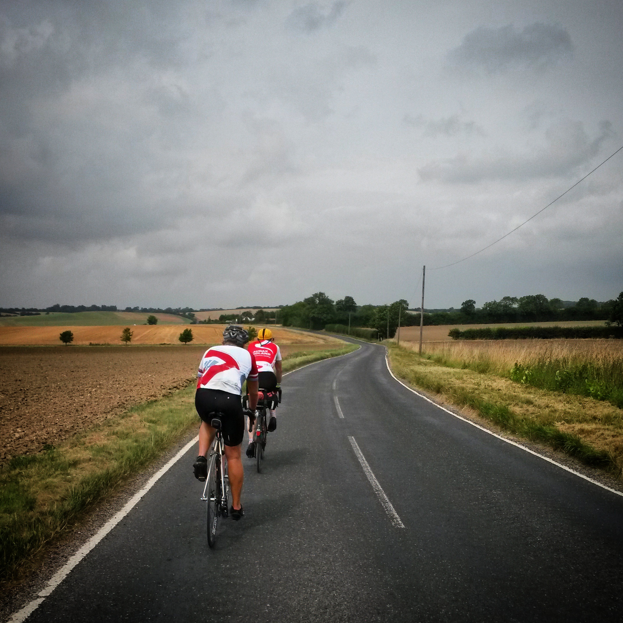
    I say hi and slot in behind him whilst my legs recover a bit, before I take a turn on the front. As we exchange turns on the front we cross the border into Essex, as we undulate across a rolling landscape of sun faded and water parched muted greens and ochres. Right on cue I feel the splash of a raindrop on my arm, and then another. As the lanes get narrower and narrower and twistier and twistier the rain gets harder and harder. My socks are squelching in my shoes and water is dripping from the peak of my soggy cap. Rainwater is smeared across my glasses and my brakes are useless. I wish I’d put those mudguards back on! Eventually the rain starts to subside and another pair of riders appear across the open fields. They hung there in front of us for a good few kilometres before we make the junction to them. Over the next couple of kilometres it became obvious that we were settling into an evenly paced little group, two fixies plus two geared bikes. Introductions were made. I’d been riding with Werner from London, and we’d hooked up with Matt from Sheffield and Andrew from Dorset. All but me veterans (in experience, not age) of the audax scene.

    The rain finally eases off completely as we turn a corner and spot the first control in a village bus stop. Rather splendidly the organisers have bombed it out here in a car with a tressle table and the makings of cheese and ham sandwiches, and orange Club biscuits and bananas for afters. Brevet card duly stamped I make a sarnie and shove a banana in my jersey pocket. Pete and Mike are still here but just about to leave so I let them know I’ll stay with my new acquaintances. The pace is more to my liking, plus I know if I ride with Pete and Mike I’m likely to blow up before Cambridge let alone London. We set off a few minutes after the others and it’s only 30km to the next info control. This distance passes quickly as we work well together, chatting two abreast on the quiet lanes pointing out holes and gravel. On the bigger roads we’d stretch out into a line of four. Andrew and I freewheeling ahead on the descents whilst Werner and Matt spin manically behind us, but then overtake us again as they carry their momentum onto the next ascent. We past the info control (collection time on a post box) at the most north eastern point of the route, and then turned for Cambridge. Another 30km and it’s time for lunch.

    IMG_20140803_145345The sun breaks through and dry lines emerge on the lanes as if a latent photographic image of a dry road. We weave and ripple across rural Cambridgeshire until we see the silhouette of Cambridge in the distance. It’s a very flat county so we know we still have a way to go. Crossing the A11 a long, long gently declining stretch of tarmac is lain out in front of us. Andrew and I click down a couple of sprockets and go into 2-up time trial mode. Glancing over our shoulders a couple of km later we realise we have dropped Werner and Matt but they span back on just as we hit the outskirts of the city. At this point it was Werner’s turn to drop us all as his London commuting skills came to the fore, sweeping in and out of cars and road furniture. Pulling up outside a cafe opposite Kings College I see Pete and Mike tucking into lunch. I lean my bike against another, get my brevet stamped and order some well needed tucker.

    IMG_20140802_213716After a lunch of panini and chips it was back onto the road out of Cambridge via Trumpington and over the M11. We turn left towards Fowlmere and the next control at Puckeridge. This was correct as far as getting back to London was concerned but for wind strength and direction it was a dreadful mistake! We are immediately punched in the face by the wind tearing across the flat farmland. It proceeds to smack us repeatedly in the face for the next 30km. We string out into a team pursuit formation. Chatter was non-existent as we rotate putting in big efforts on the front. Talk would be pointless anyway as any words that struggle out between breaths will instantly be whipped northwards by the gusts. There is a pastoral minimalist beauty to rural Cambridgeshire but that unfortunately means there are few hedges or trees to offer shelter from howling winds. Somewhere along this road as I drop to the back of the formation I reach into my back pocket for the emergency gel.

    IMG_20140803_014817As we straddle the border with Hertfordshire the roads start to rise and fall a bit more, and I for one was glad of the more sheltered hills for a little respite from the wind. The ascents get longer as the descents get faster. The elastic band holding our pursuit team together starts to strain and contract as our free hub vs. fixie game of tag starts again. After a long gentle descent we turn into Puckeridge to find the Something Lovely Tearooms for the next brevet stamp and a well earned slice of cake. Refilled we climbed back on for the final 40km back into London, and we shortly enter the outer edges of suburbia again, first Ware then Hoddesdon where we pick up the same roads on which we’d left the metropolis. However we miss the exit for Cheshunt on a roundabout and find ourselves heading for the Great Cambridge Road, or to give it its more prosaic title the A10.

    Werner and I know this will take us back to within a kilometre or two of our destination. Matt and Andrew looked less convinced but that may well have had something to do with the fact the discussion is had on the slip road to a busy dual carriageway. Anyway the decision is made to carry on, so we reform our team pursuit positions and time trial over the M25 and through Enfield and Tottenham before turning off for Harringay. Back at the arrivee, as soon as brevets are handed over, pints are purchased and downed in considerable haste. Then another. Purely for their rehydrating and carb replacing properties of course. I can’t remember the precise details but roughly 225km have been ridden in about 9 hours and 20 mins. I catch up with Mike and Pete and we all pile around to organiser Justin’s back garden for more chat, a barbecue and Hackney brewed ale.

    IMG_20140802_182940 IMG_20140802_183933A full set of photos by Jordan Carroll from Audax Club Hackney over on Flickr https://www.flickr.com/photos/113077474@N05/sets/72157646190622803/


  • It’s some time between half six and seven a.m. and I’m sat in a village hall in Kent with a bacon sarnie and a cup of tea. We’re about 115km into my first 300km audax and I feel slightly dazed. There is me and my friend Caven who I am riding with. We should be just over 100km in but we missed a turning in Rye a couple of hours earlier. We didn’t notice the Garmin telling us we were off course until after we had climbed a hill and coasted down the other side. Fortunately I was carrying an OS map for just such an occasion.

    IMG_20140714_080858

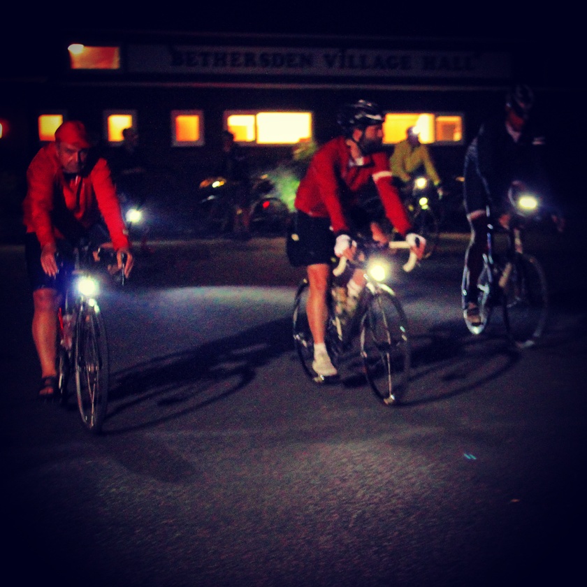
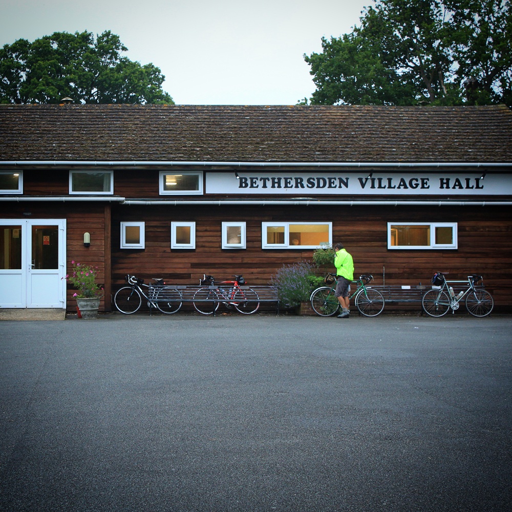
    We’d set off just after 2am from Bethersden Village Hall after necking a cup of tea and couple of custard creams in preparation. We left a few minutes after the rest of the riders as we were still assembling our bikes in the car park. Once out on the road to Ashford and then Folkestone we rolled along swiftly chatting and reeling in a few of the riders ahead of us, blinking rear lights dangling temptingly in the dark in front of us. In fact it wasn’t that dark due to the full moon and light cloud cover. The sodium glow of Folkestone appeared on the horizon, and soon we were passing through the outskirts of Folkestone. Dropping down onto the seafront we picked up the coast road that would take us through Hythe to the first control in Dymchurch. Pulling into a carpark at 4am we got our brevets stamped and were straight back onto the road to Rye. A few miles later we were sheltering under a tree and pulling on rain jackets.

    IMG_20140714_080310The long straight road across Romney Marsh to Rye seemed to last forever as we did alternate stints on the front in the wind and rain. Drafting was a easier on the legs but no drier as neither of us had mudguards (minus 10 audax points) so sat in each others spray. As it got lighter and lighter we could see how far the seemingly eternal straights went on for. And was very little to look at to the left or right across the marsh. A flat horizon stretched all around us. The only verticals breaking the horizontal were the turbines of a wind farm. Eventually the road started to have some corners, the rain stopped, and the lights of Rye grew larger in the shadow of the hills of the high weald.

    We stopped briefly in Rye to check the next info control but in our eagerness to continue didn’t check the Garmin or route notes and hence missed a turning. Once we realised our mistake we were back on course quickly and heading back towards the ride HQ, again playing through and off on the long straight flat road to Appledore, if for no other reason than to break the monotony. As we started to climb back towards Tenterden and Bethersden it started to rain again. I started to feel cold, lethargic and weak, not a pleasant mix, and was starting to get concerned that 300km would be too much today. Back at the HQ the sarnie and cuppa sorted me out. I realised that my lethargy was down to no sleep or food for a good few hours before setting off.

    IMG_20140714_081506 IMG_20140714_083946Having refueled ourselves and refilled our bidons we were back on the road in a fresh set of dry kit. We had both realised that the worst of the weather was likely overnight so had taken spare kit to change into for the day session. I can’t talk for Caven, but in my case this was quicker and easier than refitting mudguards (that’s probably minus another 10 audax points). The next 100km would take us along the edge of the North Downs towards Maidstone but fortunately staying this side of Hunton Hill.

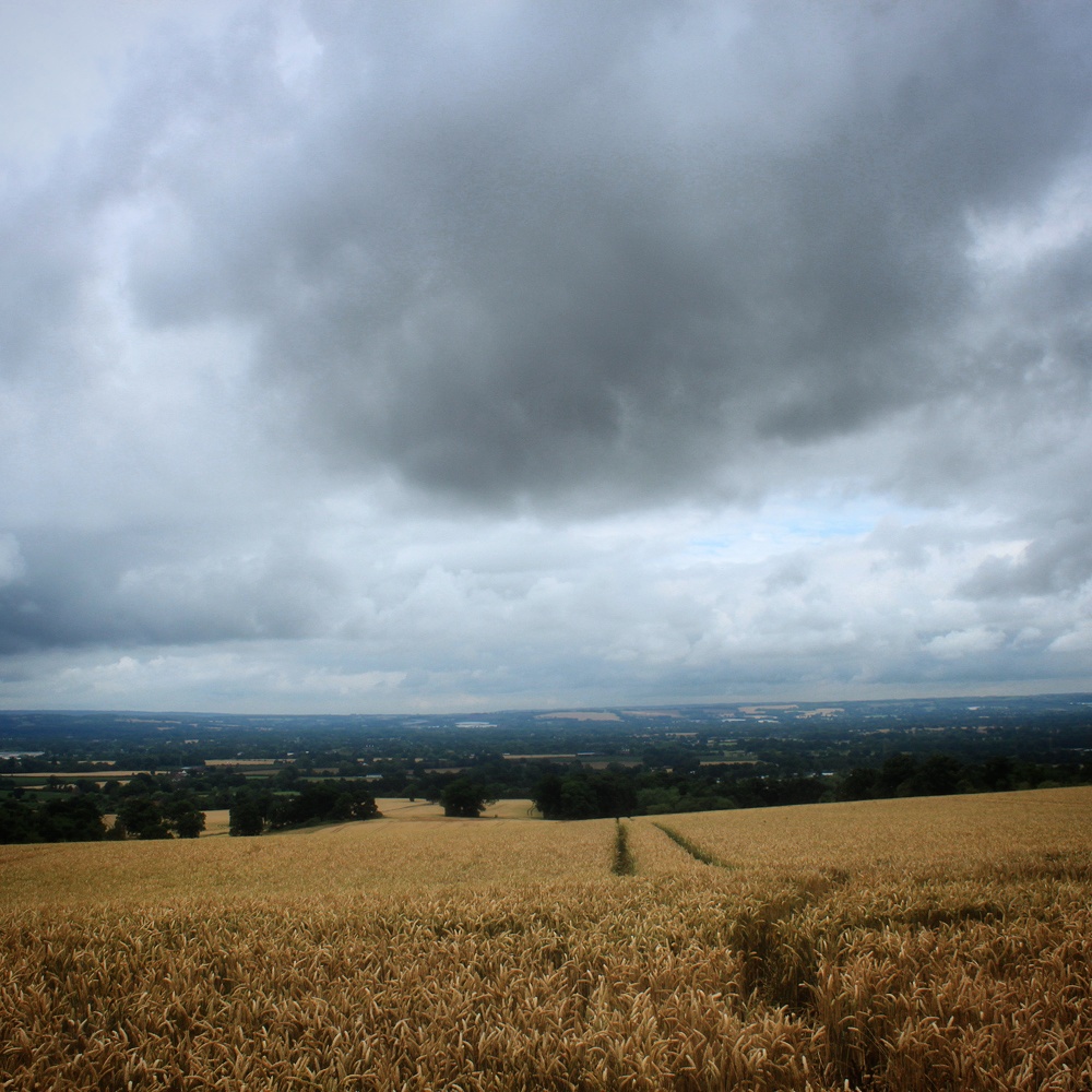
    IMG_20140714_085007The change in landscape was a noticeable and welcome change from the relentless horizontal vistas of Romney Marsh. The lanes undulated through woodland and farmland, the lanes twisting and turning. It was noticeable that the predominant colour around us was now green rather than black or grey. We were no longer relying on the Garmin, I had the route notes to hand shouting out instructions for 2 to 3 junctions ahead (that must regain 10 of the audax points lost for not having mudgaurds?). There was the occasional left instead of a right or missed signpost, and we ended up on the A229 for a bit longer than would have been preferable, but we generally stayed on course. At Golden Green we hit the half way control (cup of weak tea, cheese and ham roll, toffee waffle, fig roll, jaffa cake) before turning back towards the flatlands of Romney Marsh.

    I can’t really recall the stretch to the next control if I’m honest. The route was plenty pretty enough, it’s just I was tired and I can’t clearly remember the order of villages or changes in landscape. I know that we must have been passing relatively close to the route out to Golden Green as we recognised lots of place names on signposts as villages and towns we’d already passed through or near to. The cloud was starting to break and every now and again dappled light shimmied under our wheels on covered lanes. Out in the open it was nice to have our shadows as company. At one point we found ourselves spinning along a ridge with a view to our left over a chunk of Kent we’d ridden through. We stopped to take in the view and then cracked on to the next control, remembering to memorise the info controls so we could fill in our brevet when we got there (minus another 10 audax points for forgetting a pen).

    IMG_20140714_085406After the roadside control at 210km in Iden Green (cup of tea, slice of fruit cake, a jaffa cake, handful of jelly babies) we swooped back down onto Romney Marsh. The cloud had cleared by now and the sun was beating down. Unfortunately we were also heading straight into the wind. Passing through Appledore again we picked up small lanes towards the coast. It was noticeable now that we were both drifting off into our own worlds of suffering, we stopped chatting and a gap developed between us. I was really tired now, had run out of water, and was getting twinges of cramp. The silhoutte of the nuclear power station looming on the horizon just added to my visions of doom. I had a little bit of a swear to myself. And then a bigger bit of a swear into the wind.

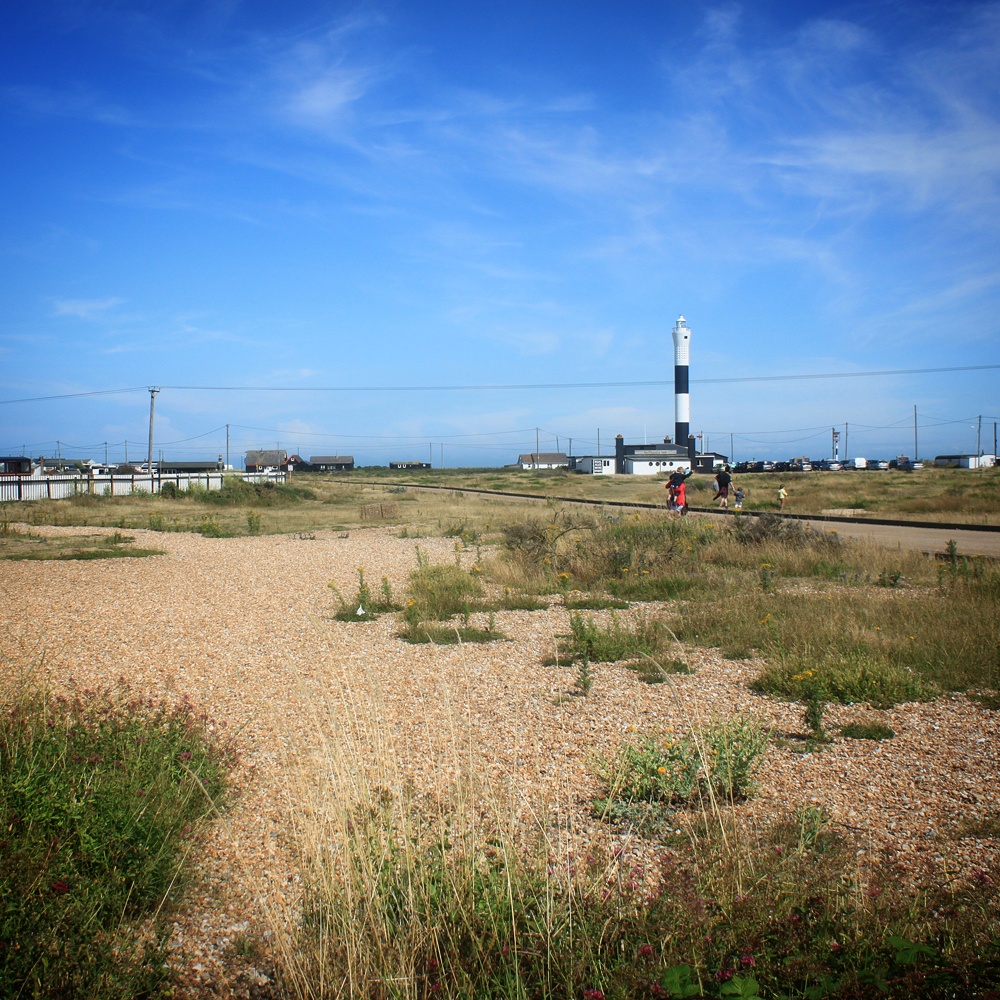
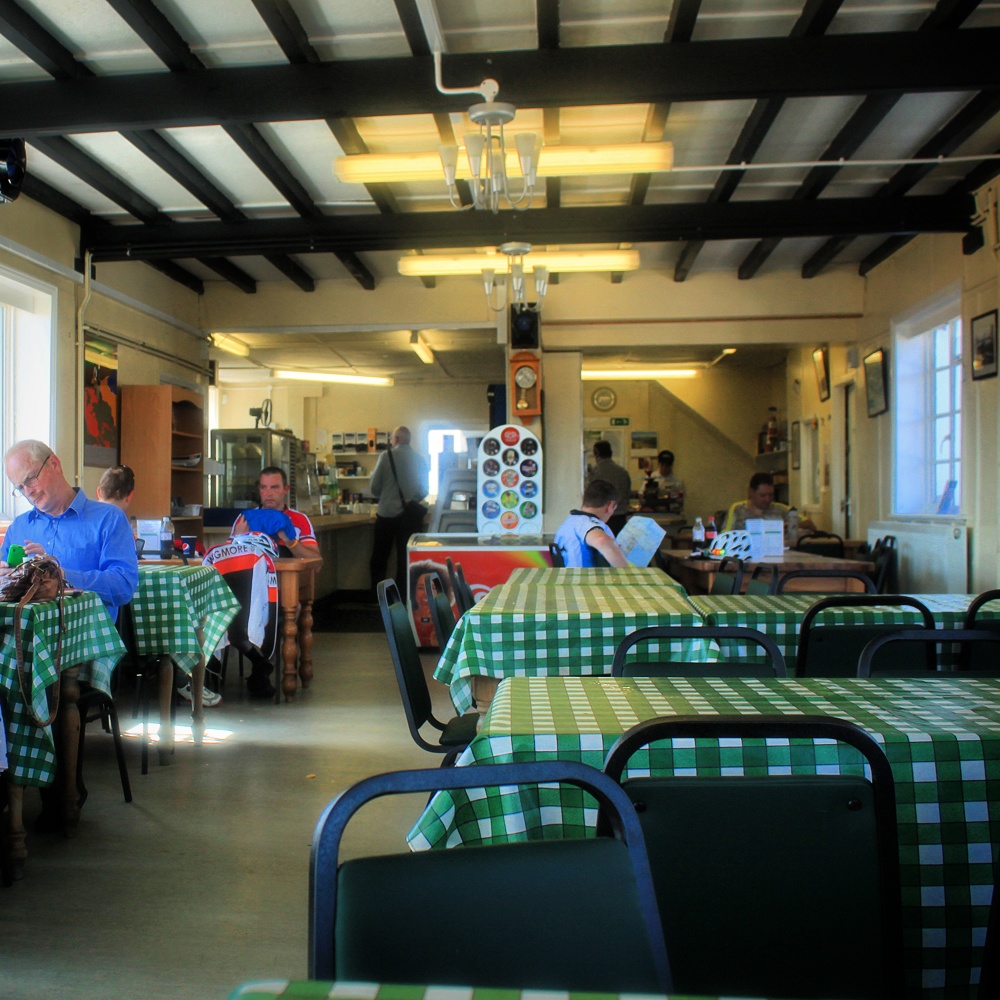
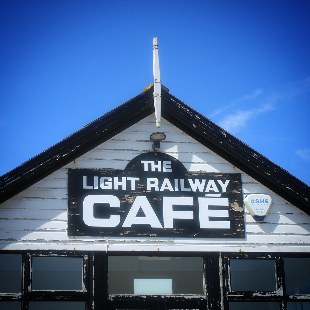
    IMG_20140714_085652We arrived at the 260km control in Dungeness separately and in silence. After getting our brevets stamped in the car park of the light railway cafe we staggered inside to find sustenance. There were other riders inside also looking slightly shellshocked and hungry. We downed bottles of coke and slowly returned to something resembling normality. Then we bought more drinks and some food. Something we hadn’t considered when we signed up was that though ‘flat route’ sounds easy you don’t actually get many free miles. You’re pedalling almost all of the time, there are few hills to freewheel down. This becomes very noticeable after a couple of hundred kilometres.

    IMG_20140714_085942 IMG_20140714_090144Only 60km to go and we expected a tailwind for most of the way to Hythe. We did indeed get a push along the coast through Lydd-on-Sea towards New Romney. Crossing back across the A259 we wiggled through fields of crops, the wind never quite in our favour but not beating up on us as much as an hour earlier. Soon we were back in Hythe, in daylight this time, for the final control. The next few kilometres were on a bridleway which made me slightly nervous. Anyone that follows me on instagram will know I am not averse to smashing my road bike across many unsuitable road surfaces and happy to stretch my luck with my tyres. However right now I was 260km and 14 hours into a ride, I’d been rained on and then sunburnt, was knackered and been pushed around by the wind. If I punctured now I’d probably just sit on the floor and have a little cry. Fortunately nothing happened and we found ourselves back on tarmac for the final 30km back to Bethersden.
    As we climbed back up to the weald towards Bethersden the sky started to darken and there was a crack of thunder as we cross the M20. It looked like we would have a race on to miss the rain. Fortunately we were heading west and the weather was heading east so we avoided getting a soaking. Just. The riders behind us apparently weren’t so lucky.

    Back at Bethersden Village Hall for the third time I handed over my brevet and went in search of a cup of tea. And yet more food. We’d ridden 328km in just over 16 hours including stops. I was pretty astounded at this considering 12 hours earlier I seriously thought that at 100km I’d reached my limit for the day. I sat down with a cheese roll and tried not to fall asleep. I was glad I wasn’t going to have to get back on my bike.

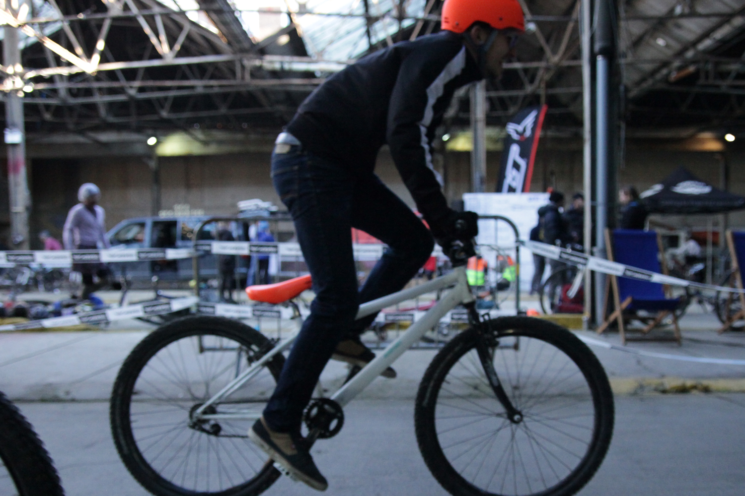
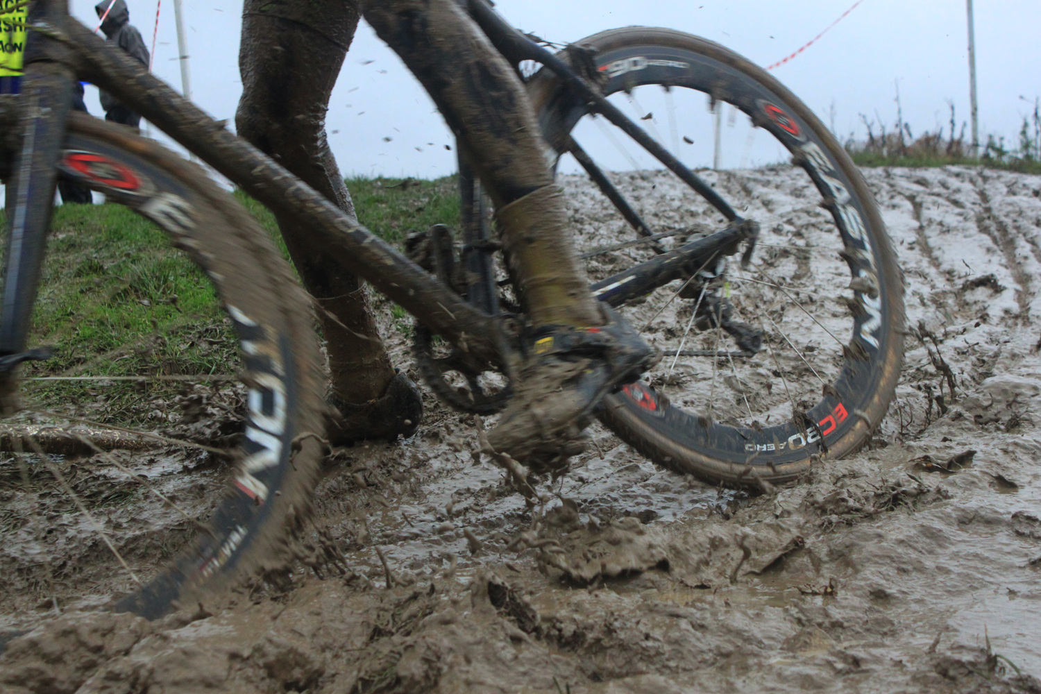
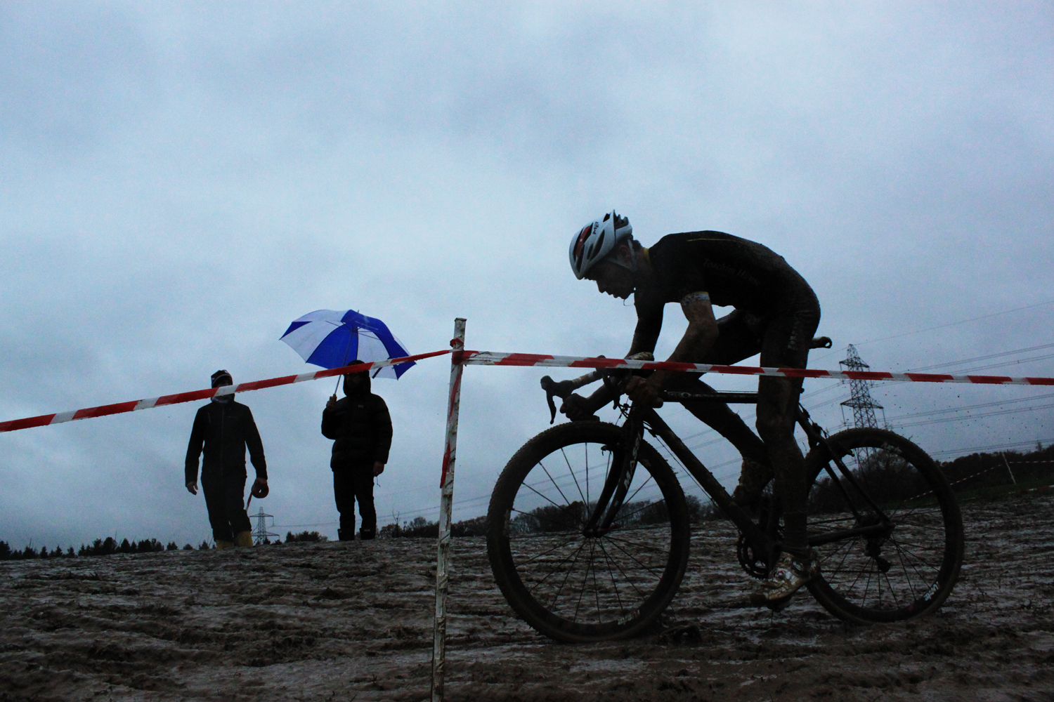
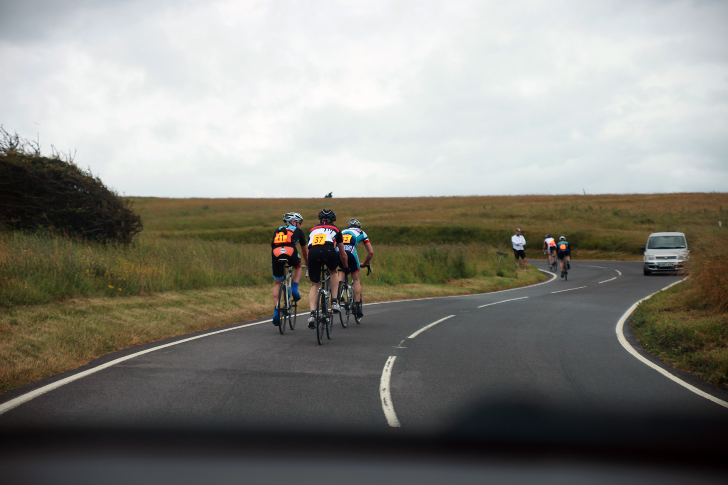
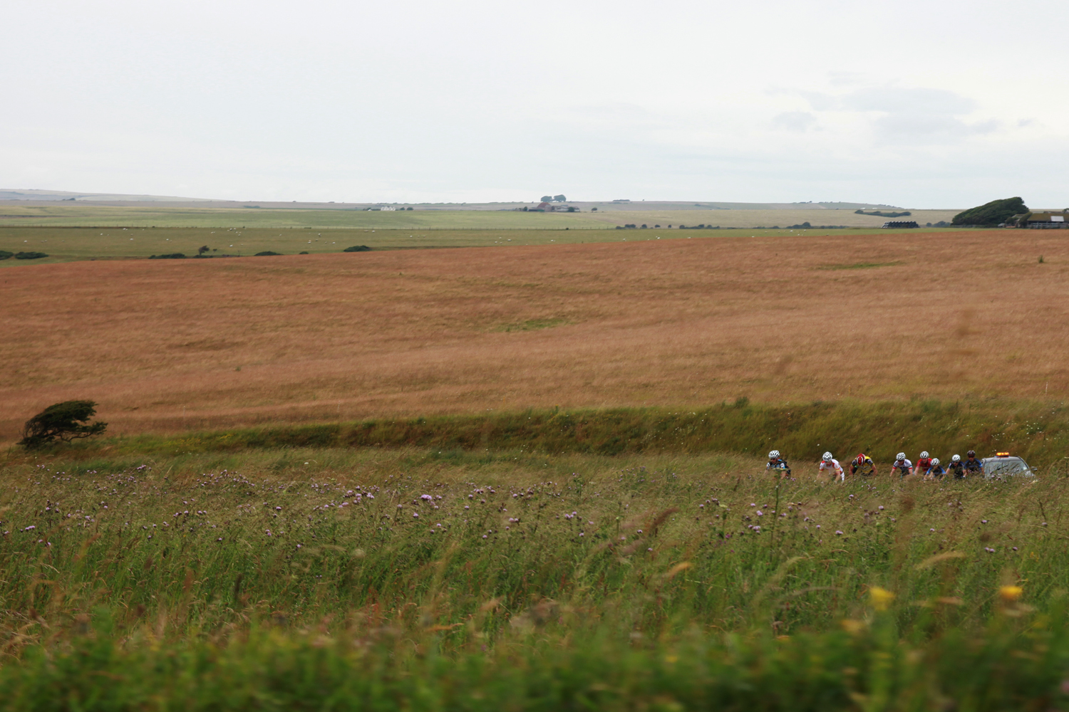
  • After a few weeks of standing on corners photographing local races, today I hitched a lift.

    IMG_2730 IMG_2781 IMG_2801 IMG_2821 IMG_2853 IMG_2984full set of photos at https://www.flickr.com/photos/themanfromicon/sets/72157645533964992/