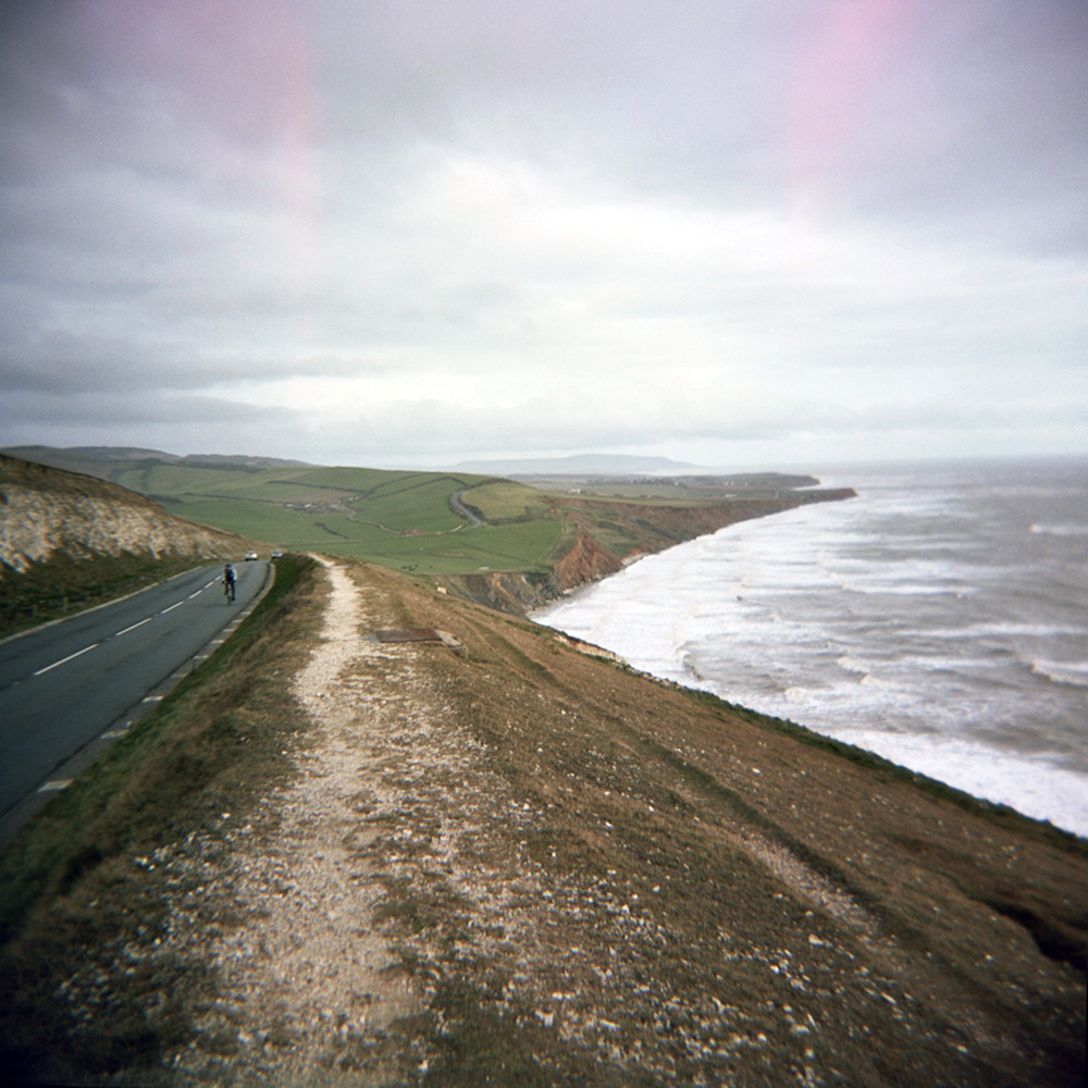
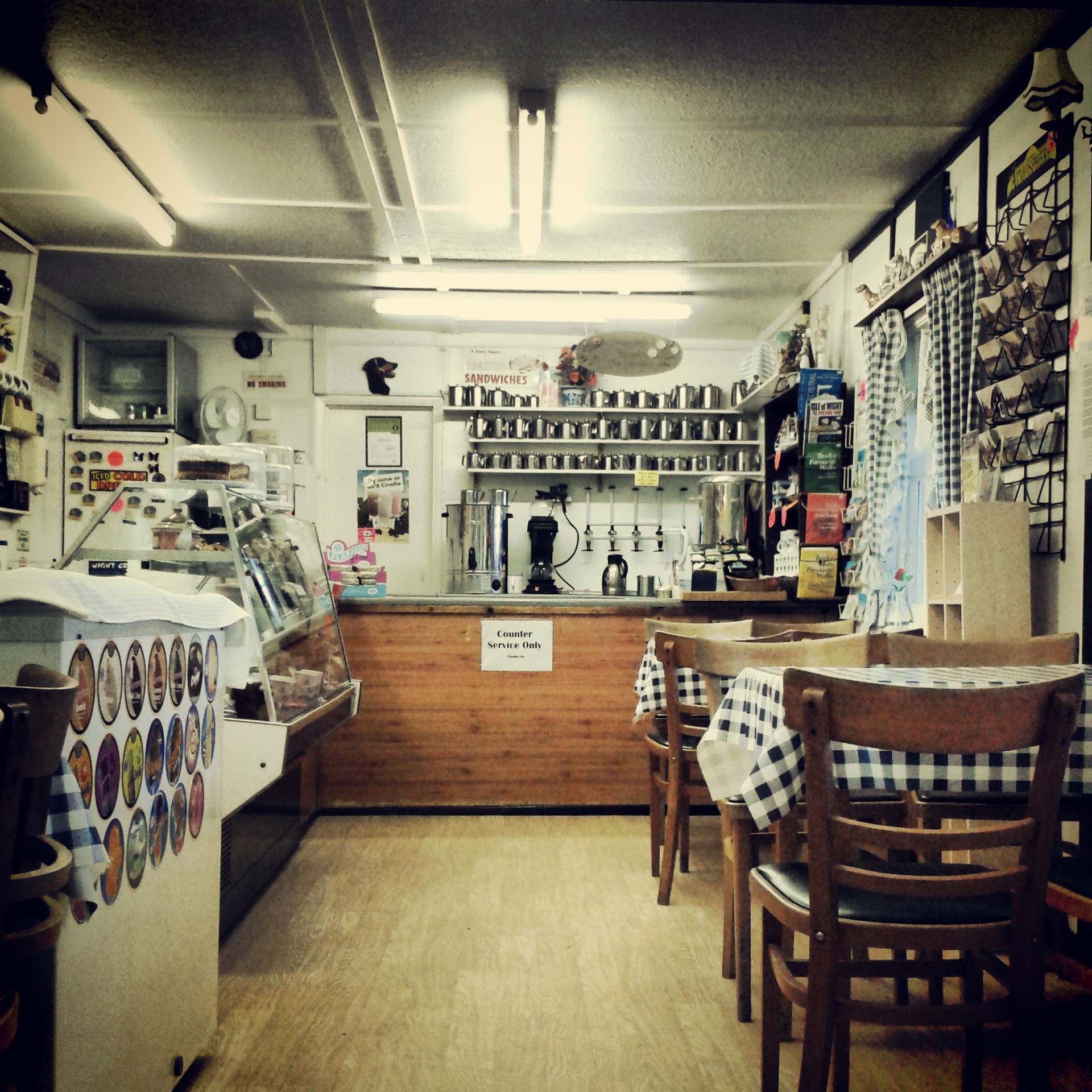
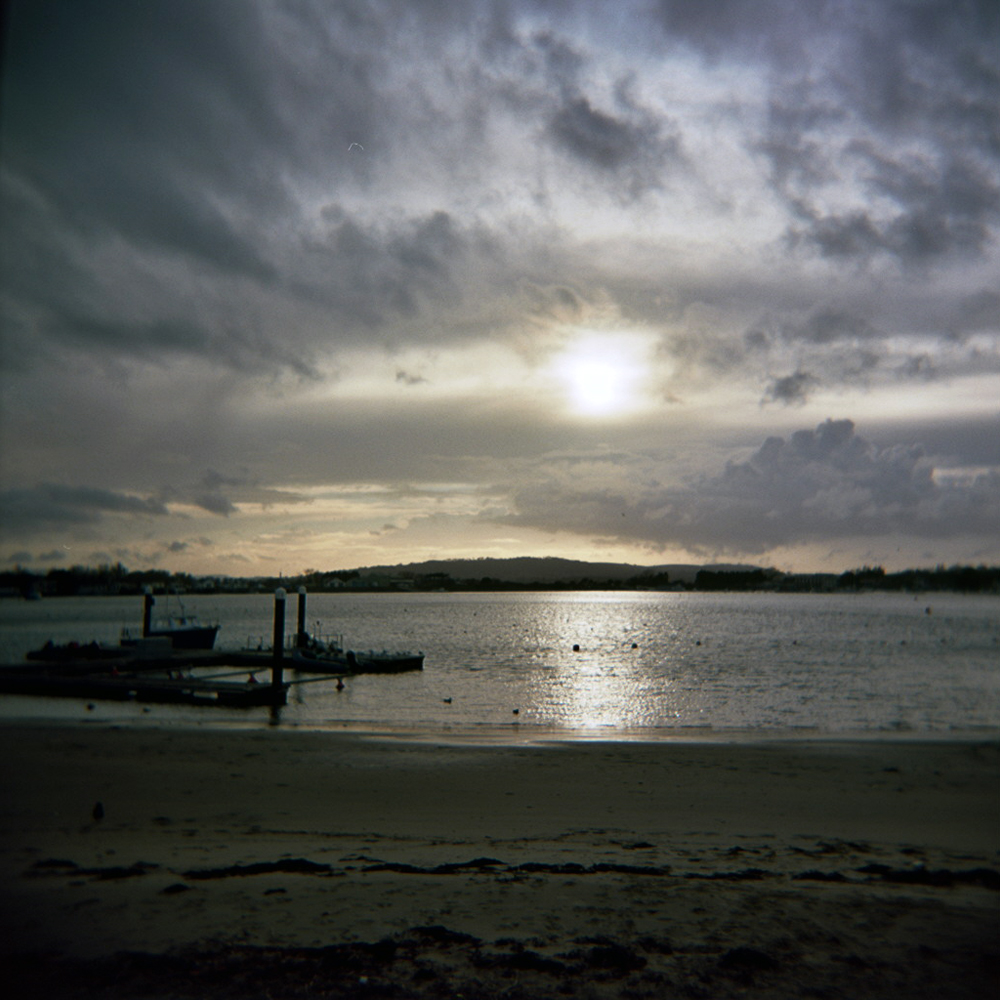
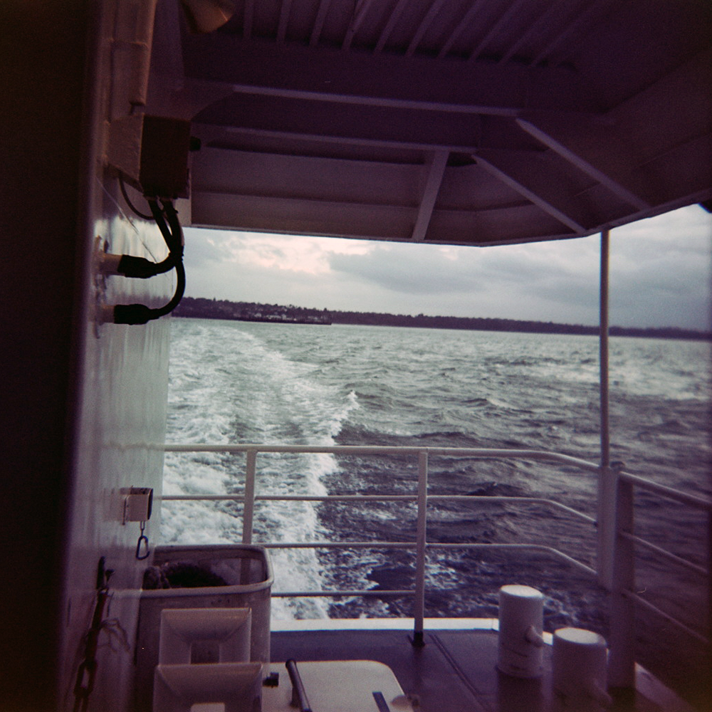
• Tourist Trophy 2013 // Stage 8b // August // Norfolk

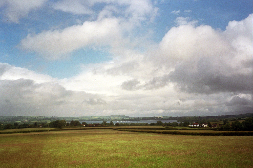
    The next day I ride north into Norfolk to meet my friend James. I’ve not actually met James before, or even spoken to him, but he’s part of the Twitter cycling community and we’ve chatted (typed) online a fair bit. After zigzagging along some quiet lanes I pick up a main road north, through Dennington and Framlingham to the border of Norfolk at Harleston. The main road is quiet, as it is Sunday and still early, and is flat and easy. A high gear is chosen and spun at a regular cadence. With no traffic and no junctions to think about for a good few miles allows the mind to wander, finding its own thoughts. The sound of church bells ring as I pass through somewhere. Somewhere else along the way I pass a trucks parts dealer where upended lorry cab wind deflectors look like icebergs floating in a tarmac ocean. As I said my mind was wandering so I didn’t notice place names. I remember Framlingham as there is an impressive castle visible from the road across a lake.

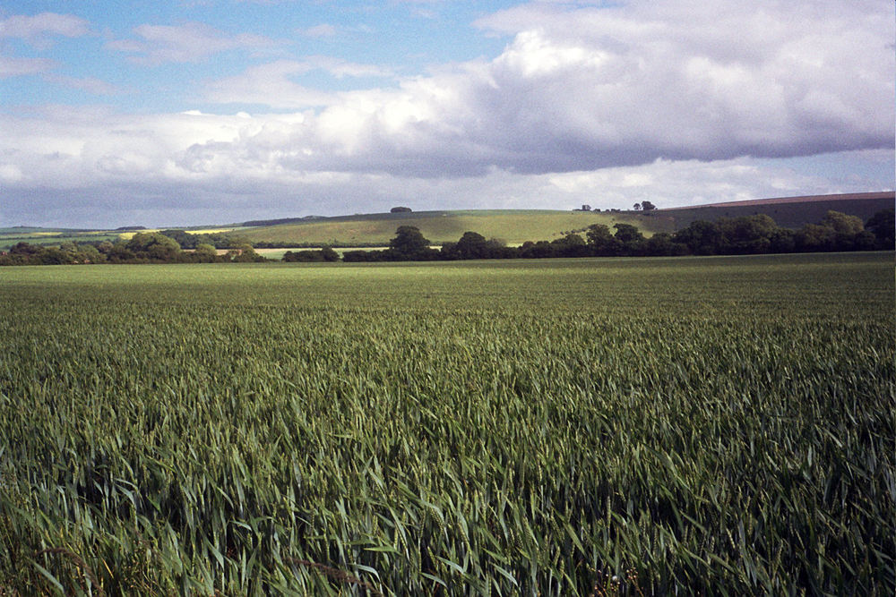
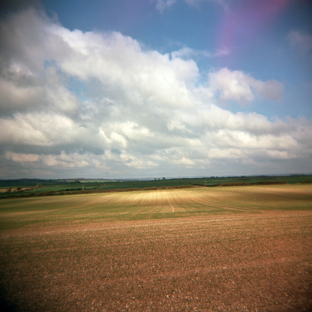
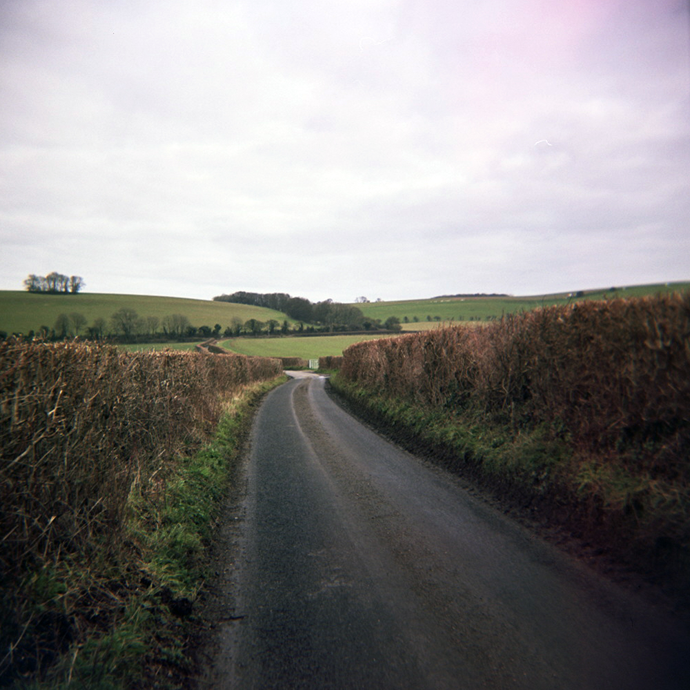
    IMG_20130818_214158I keep pedalling and barrelling along the flat roads. No hills make it difficult to read the landscape, but as my eyes adjust to the constant horizon I start to pick out lines of trees or hedgerows indicating the path of the road. Corners tend to be sharp 90 degrees following the boundaries of fields. The straight horizon meant the sky above appeared huge, as though a massive dome animated by clouds and sunlight had been placed across the land.

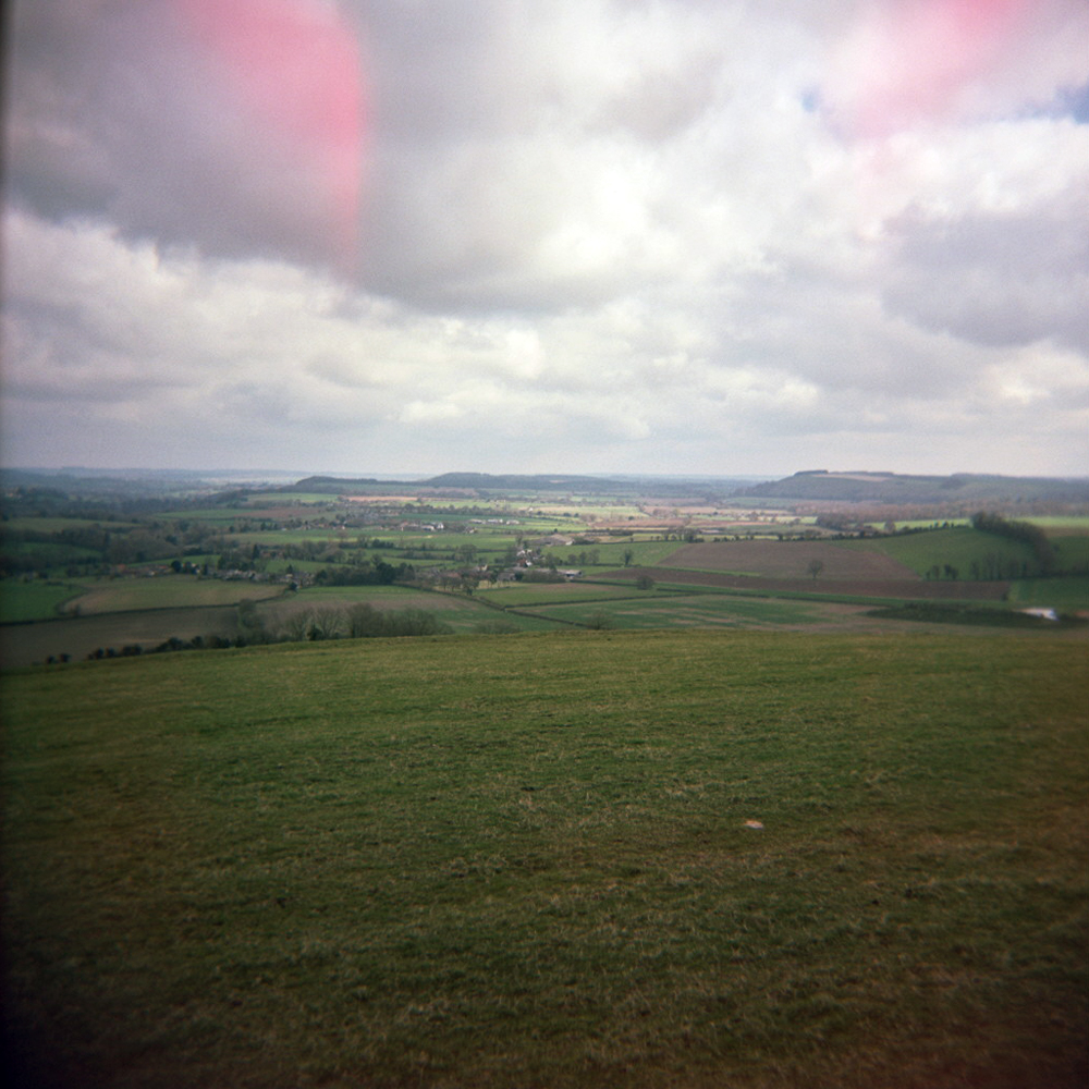
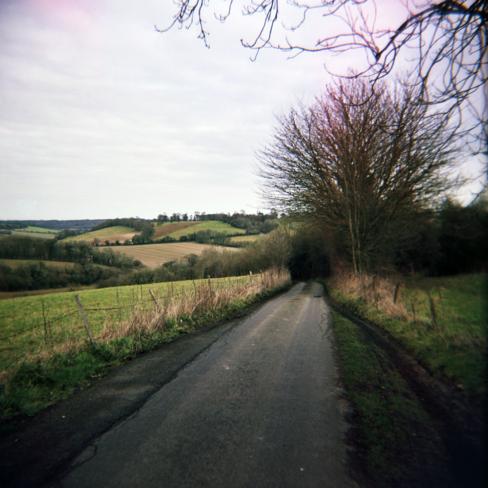
    IMG_20130818_221718As I enter Norfolk the land seems to crinkle more and be more wooded. The roads rise and fall a little more, and lanes plunge into darkness as trees create verdant tunnels. All the way along today’s route I pass old bookcases and dilapidated cabinets of vegetables outside houses; beets, courgettes, runner beans, outside others eggs for sale. A thriving micro rural economy running parallel to the macro one all around.

    IMG_20130819_131204After fording a river and crossing a busy main road I see James heading towards me, with his son Seb riding pillion. We say hello, scan the map and start to pedal eastwards towards the Roman remains to the north of Stoke Holy Cross. We spin along lanes chatting about bikes and stuff, and play spot the tractor with Seb. Around an hour later we look for somewhere to stop and get some lunch. The first place we stop is a fancy pub where we see fear on their faces as we walk on their polished floorboards in cleats. We don’t stay long. A mile or so up the road we find a hotel where we can grab sandwiches and tea and chat some more.

    IMG_20130819_083845After lunch I part with James and Seb and start heading south again, for Bungay and on to Halesworth where I can pick up the National Cycle Network Route 1 all the way back to Blaxhall. I spot the silhouettes of castles and churches on the horizon, but realise as I get closer I’ve misread silhouettes of groups of trees. There are real castles and real churches galore though, and many churches that have the appearance of castles, bell towers with battlements, maybe a sign of a turbulent history.

    IMG_20130818_215808Once on NCN1 I just have to keep an eye out for the red and blue signs, so the pace picks up as I don’t have to stop every few miles to make sure I’m going the right way. It’s easy to get lost on the flatlands of Suffolk, with no hills to use as markers.

    Autosave-File vom d-lab2/3 der AgfaPhoto GmbHI can tell I’m back in Suffolk as there are a lot of pigs. Pig farms aplenty in Suffolk. Even an orchard that doubles as pig grazing, pigs wandering in and out of tree trunks. Soon I’m back on the road I started on this morning and heading around Glemham Hall Estate back towards Blaxhall. No dinner and pint today, just the front wheel off and bike thrown in the back of the car for the drive back to Brighton.

    Strava link: http://www.strava.com/activities/75725119

    Stats

    Miles ridden: 97 (was tempted to ride around the block to make it a nice round 100)

    Feet climbed: 2500

    Average speed: 15.7 mph

    Tractors seen: Many

    Local cheese consumed: Smoked Dapple

    Cameras used: Holga 120 and Samsung Galaxy Ace/Instagram

    Film used: Kodak Tmax 100asa

    Thank you: James for meeting up and shouting me lunch, and Seb for his tractor spotting skills and navigation.

  • Riding the coastal flat lands of Suffolk, an edge of England made from clay and sand, being slowly reclaimed by the sea, it’s so flat that it is like actually riding on a map. The edges of the paper can’t be seen, extending away in all directs. The map isn’t completely flat though, it ripples gently, as if the map has been scrunched up and then pressed flat by giant hands. Lanes crisscross the hinterland of the River Alde and the North Sea, heath land and farmland scattered with forest and woodland, I start to think about Graham Swift’s ‘Waterland’ and W.G. Sebald’s ‘The Rings of Saturn’. I didn’t get on with the latter, stopped about half way through, but think that maybe I should try again.

    IMG_20130811_124019I’m aiming to ride from Blaxhall to Orford then up the coast to Dunwich before returning to Blaxhall. However there are a lot of rivers and obstructions along the coast, so I can’t simply ride along the coastline, I have to ride inland, then back to the coast, then inland again, and so on. It’s a coastal ride with only intermittent views of the sea. And then there’s the wind: Strong with even stronger gusts, sand lining the lanes is whipped up, sandblasting and stinging my legs. There are bridleways and tracks disappearing off across fields and into dark woodland. I start to wish I have a cyclocross bike with me.

    IMG_20130817_202745IMG_20130817_200213I head Orford through Tunstall Forest and then fields and fields and fields of wheat. I get a faceful of chaff as I pass a field being harvested. Passing bookshops and cagouled tourists I find my way to Orford Quay, where boats wobble on the wind rippled River Alde. It’s a bit gloomy, a dark, flat landscape under a dark grey sky, but then I realise I’m still wearing sunglasses. I take them off. It’s still gloomy, but a brighter shade of gloom. In order to get to Aldeburgh which is probably about 5 miles up the coast I have to head inland via Snape and a giant pig farm making it about 15 miles. It’s carnival weekend in Aldeburgh so there is a funfair on the seafront, bright colours and flashing lights contrasting with the dark sky.

    IMG_20130817_201039Further up the coast I can see the giant golfball of Sizewll B nuclear power station, which is my next stop after again heading inland via Thorpeness and Leiston. The cafe at the car park on the beach is called Sizewell Tea. We love a good pun in England.

    Autosave-File vom d-lab2/3 der AgfaPhoto GmbHNext up is Dunwich via Leiston Abbey and Minsmere Level where I decide to off-road through the woodland to avoid another inland detour. After riding across the purple floored Dunwich Heath I arrive at the Beach a month after the annual Dunwich Dynamo. There is another cyclist here pitching a tent between a small wooden fishing boat and a storage hut. He is clearly going no further tonight.

    Autosave-File vom d-lab2/3 der AgfaPhoto GmbHHowever I need to get back to the youth hostel so head off through Dunwich Forest before turning south and into the wind. Memories of the wind on the Military Road on the Isle of Wight come flooding back. This is not a good thing. Fortunately it’s not as bad as that, but then I accidentally take a turning I shouldn’t do and I’m tacking into a sidewind through fields of wheat, shining gold in the evening sun. Not long after I’m back in Snape and on the road to Blaxhall and to dinner and a pint.

    Strava link: http://www.strava.com/activities/75725475

    Stats:

    Miles ridden: 59

    Feet climbed: 1250

    Average speed: 15 mph

    Hay bales seen: Many, many.

    Pints of local ale: 2 x Cobbold Festival

    Cameras used: Holga 120 and Samsung Galaxy Ace/Instagram

    Film used: Kodak Tmax 100asa

  • No words for this one yet, just some pictures. A combination of Tourist Trophy foreign country wildcard and Rapha Rising. Words will follow at some point in the future.

    etape1etape2etape3etape4etape5etape6etape7

  • a.k.a Getting lost in the mid-West

    The original plan was to travel by train to Salisbury on a Saturday morning followed by a leisurely meandering ride to Bath over two days. However a few days before the ride I realised that I’d planned the ride for the same weekend as the annual London to Brighton charity bike ride. This scuppered plans. Southern Trains, in their great wisdom, ban bikes on trains anywhere near Brighton on this day, despite telling me everything would be fine with a bike when I pre-booked my tickets. Grrr. A squizz at the map, a couple of re-bookings, and a new plan took form: Train to Bath, then 2 day ride back to Brighton via Cheddar and Salisbury. It meant more miles but it looked feasible, if a little daunting. However as Tourist Trophy instigator Jo Burt said, “Do something that scares you once in a while.” So, here is the tale of a two-day ramble…

    Day 1

    The day didn’t start well, due to a slight lack of planning and, more honestly, my own idiocy. The late change of plans meant I didn’t have all the right maps and was relying on route planner print outs, a couple of pages torn from an old AA road atlas, and one OS map for the area around Cheddar and Wells. Then I went with the ‘follow your nose’ option to get out of Bath, guessing south by the position of the sun. I was vaguely correct but headed southeast rather than southwest. Oh, and straight up a very steep hill towards Claverton Down and Combe Down.

    At the summit I decided it would probably be better to check a map. I really should have brought the OS map of the Bath area with me (jetisoned from my small back pack the night before in interest of space), rather than trying to use the tiny maps on printouts. Anyway I matched a place name on a piece of paper with a signpost and headed southwest towards Tunley in sunshine. The arm warmers came off and sunblock went on. Thirty minutes later the arm warmers went back on. Fifteen minutes after that the waterproof went on.

    I needed to head for Temple Cloud, easy to remember as this is the name of an old Sarah Records compilation album (Sarah 376, released 1990. Being listened to as I type this), but I missed a turning somewhere though and ended up in Clutton. Twice. Don’t ask. Asking the local butcher the way to West Harptree I was pointed towards Bishop Sutton and Chew Valley Lake. Then the heavens really opened. The sky turned that featureless monotonous grey that indicates that the rain may never stop. It was utterly miserable. I was cold and wet within seconds and my route notes turned to papier mache. I kept trying to memorise place names and junctions a few ahead so I wouldn’t get the map soaked. I even considered giving up and turning back for Bath and a warm, dry train home. But that is cheating.

    As soon as I got to West Harptree I turned for East Harptree rather than passing straight through the village. A few miles down the road the rain stopped and I decided it might be time to refer to the map properly. I’d gone the wrong way again. Can you see the pattern forming here? To compound matters I had cold, wet feet (overshoes had also been jettisoned in favour of space. Don’t pack too light when starting out on long 2 day rides kids, it’s silly). Back on the right road I started to climb out of West Harptree to a junction where there was a sign for Cheddar. At least there was a hope of going the right way for a few miles!

    Autosave-File vom d-lab2/3 der AgfaPhoto GmbH Autosave-File vom d-lab2/3 der AgfaPhoto GmbH

    A long steady climb over Harptree Hill was followed by long straight roads, old Roman roads, through open farmland on the high flatlands. Then after bend the landscape instantly changed. I was riding through a shallow valley, with rocky outcrops and stone walls. The valley sides steadily got steeper and more wooded as I reached the upper reaches of Cheddar Gorge. The sides of the gorge got higher and rockier until the steepening road twisted through the deep, dark chasm.

    Autosave-File vom d-lab2/3 der AgfaPhoto GmbH Autosave-File vom d-lab2/3 der AgfaPhoto GmbH Autosave-File vom d-lab2/3 der AgfaPhoto GmbHPassing Cheddar village I turned east towards Wells catching a tailwind. The Mendip Hills spread away to the south and east, weird looking lumps, like children’s drawings of hills, with Glastonbury Tor clearly visible in the distance. The bells of St Cuthbert’s rang out for 3 as I rode through Wells, around the Cathedral and heading towards the Old Frome Road. Or I hoped I was, as no signposts seemed to match any names on my disintegrating route notes. Just as I started considering it might be as easy to write the day off, head for Frome and take my chances with the lorries on the A36 I spotted Cranmore on a signpost off to my right. Hurrah, this was the next road I was looking for!

    Miraculously, the sun started to really come out, so much so that I finally took my waterproof off. I found myself on tiny country lanes for the first time in the day which raised my mood considerably. In fact the next 20 miles were the best miles of the day, narrow lanes winding their way around steep hillsides and narrow valleys. I almost got caught as a farmer was herding his cattle across the road. Of course I missed another turning near Batcombe but I didn’t care so much. Strange how when the sun is shining and the roads are narrow and quiet getting lost is an adventure rather than a disaster waiting to happen.

    Autosave-File vom d-lab2/3 der AgfaPhoto GmbH Autosave-File vom d-lab2/3 der AgfaPhoto GmbHBack on course again I raced across the next junction with the Wiltshire Downs stretching ahead of me and a strong tailwind shoving me along. When I hit the A350 at the next junction I realised I’d gone the wrong way again! This meant one of two things; carry on and take the A36, or turn back and take the A350 south and pick up the road to Wilton as originally planned. I opted to turn back and head for Wilton.

    Autosave-File vom d-lab2/3 der AgfaPhoto GmbHI’ve driven the Wilton road many times but I don’t remember it being quite so long or up and down. The sky ahead was grey but the sun and wind was behind me, leading to a beautiful silver-green shimmer of the underside of leaves against the clouds. Passing through Wilton a sign showed that Salisbury was 3 miles away, and not much further down the road I spotted the spire of Salisbury Cathedral framed between the trees. I’ve never been so happy to see the spire of any cathedral!

    Strava link: http://www.strava.com/activities/60525192

    Stats:

    Miles ridden: 105

    Feet climbed: 6300

    Average speed: 15mph

    Counties covered: 2 (Somerset & Wiltshire)

    Number of times went wrong way: Too many

    Bags of jelly babies consumed: 0.5

    Emotional ups and downs: Too many

    Lessons learned: One. Buy more maps.

    Camera used: Olympus Trip 35

    Film used: Out of date Kodak Gold 35mm

  • a.k.a A morning to forget, an afternoon to remember.

    Day 2

    I woke up and didn’t hear the sound of rain. This was promising as the forecast in the few days before the ride had been bad. After filling up on the YHA buffet breakfast I retrieved my bike from the shed and pointed the front wheel for home. I’d planned the shortest, most direct route home, which basically meant starting out on the A36 and A27 towards Southampton, and then on to Portsmouth.

    Not much to report for the first stint as far as Southampton. However as I approached the M27 I slashed my tyre riding in the gutter of a fast, busy road. I chucked my bike over the barrier to inspect the damage just as it started to rain. Brilliant. There was a 8-10mm gash in the tyre and inner tube. I patched up the inside of the tyre with a bunch of patches. I looked at it and thought “that’s not going to help at all” but didn’t have anything else to use as a tyre boot. I changed the tube, stuffed some jelly babies in my face, chucked bike back over barrier into the traffic and continued homeward. Twenty five miles down, and about 55 to go on a knackered tyre. Hmmm.

    Autosave-File vom d-lab2/3 der AgfaPhoto GmbHThinking positively I thought that at least riding on main roads at the edges of towns I would probably come across a Halfords at some point. Not often that crappy roads and Halfords are considered positives. However I didn’t and I slowly forgot about the state of the rear tyre.

    Wickham, a pretty Hampshire village on the B2117 beyond Southampton appeared to be en route of a few club runs judging by the number of cyclists riding around the market square. A little further on the climb up Portdown towards the mysterious looking military installation started. I’d actually started to enjoy the ride by this point. To the north I could see the hills around Winchester, and as I crested the climb and the whole of Portsmouth, the Solent and the Isle of Wight was visible to the south. As I crossed the Pilgrem’s Way I stopped for a banana, some jelly babies and a photo. A lot of jelly babies got eaten on this day.

    Autosave-File vom d-lab2/3 der AgfaPhoto GmbHThe long descent ended in Havant, where my route should have taken me south to Emsworth and then towards Chichester. However I’d had enough of busy urban roads so decided to head inland over the train tracks towards Funtingdon. Hitting the outskirts of Chichester I started to follow the roads towards Bognor Regis but after a quick hack down the dual carriageway turned inland again for Petworth and the South Downs. The sun had come out and I really couldn’t face the south coast urban sprawl of Littlehampton, Worthing, Lancing, Shoreham, etc.

    I was adding miles to my journey but the quiet road through glowing yellow rape interspersed with striped fields of green was a joy. Over Upwaltham hill, and plummeting into Duncton (watch for those bends at the bottom!) I was nearing Petworth. Ten miles had passed quickly. Strong sunlight flickered on the road as it shone through overhanging trees as I turned for Fittleworth. As I climbed a gentle slop all traffic noise stopped and the only sound was the gentle hum of tyres on smooth tarmac and birdsong. It only lasted a moment before a van came over the brow and broke the revery, but it was a beautiful few seconds.

    Over the rise and out of the woodland the landscape opened up ahead. From here I could see the undulating top line of the South Downs with the distinctive silhouette of Chanctonbury Ring in the distance, and the aerials of Truleigh Hill beyond them. It was still 25 miles away but I could almost see all the way home. Suddenly, I no longer felt 175 miles in my legs. I was soon passing Storrington and Ashington, and spinning along Spithandle Lane towards Steyning.

    Autosave-File vom d-lab2/3 der AgfaPhoto GmbHA slightly twisted part of my psyche whispered “Steyning Bostal” but I sensibly ignored it. There are times to tackle Steyning Bostal, and after 190 miles over two days is not one of them. At Shoreham I picked up the suburban coast road that I should have ridden since Bognor Regis. I was so glad I hadn’t, Sussex had looked at it’s best that Sunday.

    Strava link: http://www.strava.com/activities/60729592

    Stats:

    Miles ridden: 101

    Feet climbed: 4500

    Average speed: 15mph

    Counties covered: 4 (Wiltshire, Hampshire, West Sussex, East Sussex)

    Bags of jelly babies consumed: 0.5

    Lessons learned: One. Carry a spare tyre on long rides*

    Camera used: Olympus Trip 35

    Film used: Out of date Kodak Gold 35mm

    * and of course retrospectively I’ve not followed this rule

  • Stage 5b – Fife: Tayport to St Andrews and back again [flat]

    A pleasant, flat 35 mile recovery ride from Tayport to St. Andrews via the Fife Coastal Route through Tentsmuir Forest, Leuchars and Guardbridge. Tea and double Tunnocks at West Sands in St. Andrews before heading back to Tayport.

    tentsmuir_tunnocks_milltag

    Strava link: http://app.strava.com/activities/53979529

    Stage 5c – Angus: Tay Road Bridge & Dundee [city centre criterium]

    A very easy day, a short spin over the Tay Road Bridge into Dundee and back again. Then hopped on a train down to Kirkcaldy to catch the opening race of the Tour Series.

    dundee+kirkcaldy_milltag

    Strava link: http://app.strava.com/activities/54142526

    Stage 5d – Perth & Kinross: Cairngorms [summit finish, in Aberdeenshire]

    As I hurtled down the Cairnwell pass I started to wonder if I was doing the right thing. The speed I managed to reach indicating both the steepness and the straightness of the climb that would await me in a couple of hours time.

    I’d left the car at the Glenshee ski station for a couple of reasons. Firstly if the car was at the top of the mountain then I had no choice but to ride up it if I wanted to get home. Secondly, as a teenager cycling was all about the grand tours for me, and things didn’t get really going until the summit finishes of mountain stages. My teen cycling hero was Robert Millar and he rode a Peugeot just like me. Well maybe a better Peugeot and a tad faster, but he rode a Peugeot like me. A summit finish on a Scottish mountain seemed highly appropriate.

    I rode down the valley along the rolling Old Military Road towards Bridge of Cally. Long straight sections of road were broken by tight bends and sharp inclines. Having driven the road a few days before I was reminded of the words of Ernest Hemmingway, “It is by riding a bicycle that you learn the contours of a country best, since you have to sweat up the hills and can coast down them. … Thus you remember them as they actually are, while in a motorcar only a high hill impresses you, and you have no such accurate remembrance of country you have driven through as you gain by riding a bicycle”

    This became thoroughly apparent as I looped back around from Bridge of Cally onto the Old Military Road into a ridiculous headwind. This explained how I had ridden the 20 miles from Glenshee to Bridge of Cally in well under an hour! It was certainly going to take longer to get back up to Glenshee. The wind made hard work of the small climbs up through the valley, even negating the ability to freewheel down any of the easy bits. There was nowhere to hide, the wind just kept on blowing into my face as the road continued to rise back towards the Cairnwell. Every strong gust almost had me a standstill, muttering obscenities as clouds scuttled across the mountainsides and valley, shadows rushing along the road towards me.

    Nearing the bottom of the climb back up the Cairnwell the road straightened and the wind seemed to strengthen. The climb probably would have been OK on its own but the wind made it difficult, almost forcing me to trackstand as the pass got steeper. The straightness of the road didn’t help, there was no avoiding the wind. As I got higher the weather worsened, cold rain started to fall – sideways! The wind, rain and cold hit me harder as I crested the pass, a sign notifying me that I was back in Aberdeenshire and the car visible parked up at Glenshee just a few hundred yards away. And I knew I had tactically left a slice of cake in the glovebox.

    cairngorms_milltag

    Strava link: http://app.strava.com/activities/54299072

    Stage 5e – Cumbria: The Lake District

    To break the journey back from Scotland I decided to stop off and camp in the Lake District. The intention was to scope out the Lakes as a possible location for a future Tourist Trophy location. So after pitching my tent on the banks of Ullswater I went and found a trailhead in the Borrowdale Valley to leave the car, whilst I went for a 20 mile lap of Derwent Water via Keswick, Newlands Hause, Buttermere and Honister Pass. Weather was a mixed bag of ominous looking clouds and sunshine, but somehow I managed to completely avoid rain despite seeing it rain around me at various points.

    The ride started easy enough as I trundled along Borrowdale Valley into Keswick, before passing over a footbridge over the River Derwent and through woodland towards Swinside. Dropping through farmland and over Newlands Beck, the long climb towards Newlands Hause started, via the steep, tight hairpins at Keskadale then the long straight climb to the summit. This was the easy side but it was steep enough, particularly the 20% section at the top. Once over the top I realized how easy my climb had been compared to the other side! Grabbing both brakes I tentatively rolled down the other side occasionally locking up the back wheel on the rough road. By the time I arrived in Buttermere my hands ached from the constant braking.

    Following the banks of Buttermere I headed back towards Borrowdale. I was slightly alarmed that I seemed to be heading towards a wall of mountains. Fortunately a gap did eventually appear, the Honister Pass. However it’s quite a high, steep gap. Into the second lowest gear (leaving myself somewhere to go when it all got too much) I started spinning up the road. The spinning gave way to grinding as the road got steeper and rougher. Then I had to use the lowest gear. Even this wasn’t quite enough as I reached the final section, having to zigzag across the road, tacking into the gradient, before passing through the cutting into the rocks at the summit.

    It was well worth the aching legs as a vista of moorland and mountains stretched out in front of me. The moor immediately in front of me in the shadow of clouds. The valley and hills in the distance lit by brilliant sunshine, and that was where I was heading.

    Back at camp I sat on the banks of Ullswater supping a bottle of Keswick ale as I watched the sun disappear behind the hills opposite.

    lakes1_milltag

    Strava link: http://app.strava.com/activities/54529505

    Stage 6 – Cumbria: The Lake District [intermediate]

    This was the last day of the trip so to make the most of it I got up at the crack of dawn for a spin into the hills around Ullswater. Leaving the campsite as the sun was rising, I climbed into the sunshine on top of the hills, mist nestling in the valleys. Thought I was lost at one point when what appeared to be a road on the map was little more than a farm track. After 15-20 minutes I ended up where I wanted to be, but still not sure it was the right road. There’s something lovely about riding at dawn. A mix of the changing light, no one else being around, and wildlife still out and about before it spends the rest of the day hiding from humans. Descending back down to Ullswater I followed the edge of the lake back to camp. Chucking the bike and tent in car, I started the long drive back to the south coast.

    lake2_milltag

    Strava link: http://app.strava.com/activities/54642834

  • I rolled down the road into Pitlochry from the campsite to be confronted by people lining the pavements and about 5000 cyclists crammed onto the main street. It was 6.20am. I made my way down the pavement looking for somewhere to wait until wave M was called to the line for our 6.54 start time. I was amazed by the sight of so many cyclists, both men and women, full of excitement and trepidation so early in the morning. Or maybe everyone was off their faces on caffeine and energy gels.

    IMG_20130512_184700

    At the allotted time I beeped over the start mat and headed out of town in our 200 rider strong peloton back up towards the campsite. Families of various campsite based riders waved and cheered in their pajamas from the roadside. Lucky sods then probably went back to bed or to cook breakfast. The sky was grey but cracks in the clouds promised possible sunshine. We crossed over the River Garry to the sound of a huge cowbell and noisy crowd.

    The narrow road started to climb through the Tay Forest Park with riders bunched together. I picked my line carefully weaving through slower riders to maintain a comfortable cadence, glancing over my shoulder for anyone faster coming behind. Over a bagpipe soundtracked summit we descended a steep hill to the edges of the Loch Tummel. The next few miles gently undulated along the valley floor. Climbing through the trees again, a crack in the clouds lit the bracken covered forest floor a golden brown. A fast descent into Kinloch Rannoch followed, where I stopped to grab some food from the feed station.

    IMG_20130512_190709

    I filtered back into the flow of riders pushing a little harder on the pedals into the gentle headwind. Loch Rannoch appeared in front of me, reaching as far as the horizon, small waves rippling towards me, mountains rising on all sides. After a couple of miles I sensed someone on my back wheel. I thought about flicking my elbow but they came past offering to take the front for a while. For the next 20 miles we rode together, taking turns on the front, keeping the pace relatively high. At one point a large group of riders caught us and amassed around us. I started to feel a little tentative as I realised that this was a ramshackle group with mixed group riding skills. My fears were confirmed about a mile of so later as there was a touch of wheels ahead; a foot went down, brakes squealed. I swerved, almost crashing into someone, then the sound of clashing metal behind me. A swift look back and I could see a couple of people lying on the grass verge with other riders stopped around them. Myself and my riding companion (I still don’t know his name!) regrouped with a couple of others joining us.

    Turning around the end of the loch onto a narrowing section of road we found ourselves in a large clump of riders again. Quickly, but carefully, passing them we re-organised our small group on an empty stretch of road with a nice tailwind. Hugging the edge of the loch our pace increased again until we came up behind a few more riders cranking along at speed. We tagged onto the back of them but then bam! The front rider seemed to lose his front wheel and hit the tarmac hard, the guy behind him rode straight over his bike before also smashing onto the tarmac and skidding down the road. About four riders back I managed to hit the anchors and avoid the carnage with my heart pounding in my chest.

    Again we regrouped and continued along the south bank of Loch Rannock, the road winding through the forest and large hills rising to our right. A few miles further along and as we turned a corner we came across an ambulance blocking the road. Time to hit the brakes again and find the narrow gap beside the grass verge. Not sure what had happened as no signs of a crash, and no other riders hanging around.

    I skipped the second feed station just before the main climb of the day, up past Schiehallion. The climbing started up a short straight incline through dense woodland, before twisting and turning up through more open country, occasionally levelling slightly before ramping up again. I found a line on the right hand side of the road that allowed me to continually pass riders, sometimes having to let someone else past. Each time someone passed I jumped onto their wheel, dragging myself as hard as I could to the summit above the tree line, the triangular, snow flecked peak of Schiehallion rising on our right. I even managed a little sprint for the timing mat at the KOM finish…or I think I did.

    IMG_20130512_184838

    A pass over a high moor, or bealach in Gaelic I found out later, stretched out in front, the road dropping slightly before a long slow incline over barren moorland towards what looked like maybe a ski station. I passed a couple stood by a campervan banging spoons on tin mugs, with the sound of cheering and clanking bells in the distance. As I reached the final summit, the highest point of the ride, a noisy crowd lined the edges of the road as I pulled into the feed station prior to the long descent.
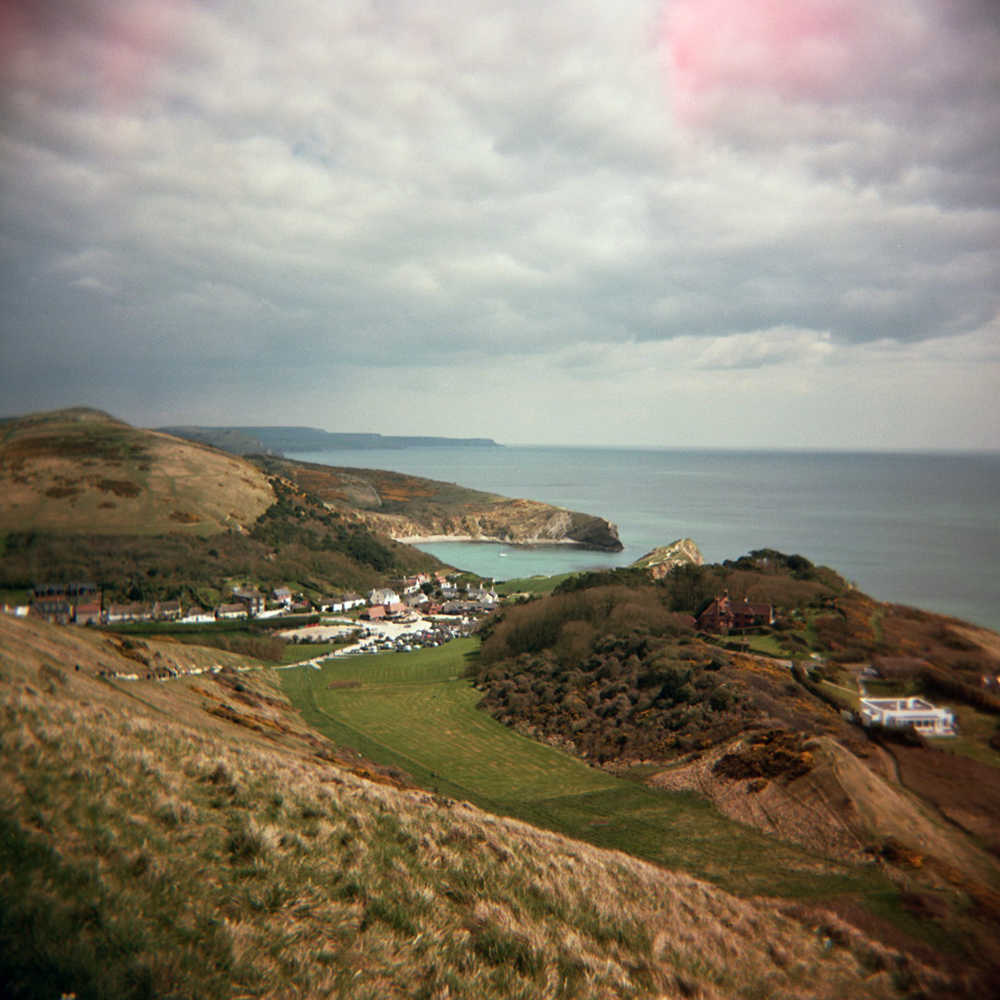
    It started to rain gently as I started my descent making the road slippery, so I found a gap to ride in and took the corners carefully. At the base of the hill the route turned back into the headwind for a flat section through farmland before turning into a narrow tree lined road along another river valley. A few miles on there was a chicane across a bridge onto a larger road along the open Tay River valley. The next ten miles or so were flat and not as scenic as the previous 60 odd miles so was a prime opportunity to get my head down and increase the pace. It had started to rain harder but a brisk tailwind meant I could crack on.

    I started to think that what this ride needed was another big climb to make this last section since Schiehallion a little more interesting. As I thought this I could see a crowd of people ahead and a big arrow pointing to the left with the words ‘steep climb’ below it. After turning sharply left I hit a steep but short climb on a narrow lane lined with a supportive crowd. I dropped down onto the small chainring, got out of the saddle, climbing swiftly but got caught up behind a group of riders due to the narrowness of the lane. After this first climb the lane continued to rise and fall, but constantly upwards through fields and pine forest. I was starting to feel the mileage in my legs and decided that my idea of an extra big hill might have been a bit premature. I passed the 80 mile marker as the road started to drop down towards Pitlochry. Back in town the streets were lined with hundreds of people, 2 or 3 deep for the final few hundred yards up to the finish line for the final beep as I crossed the finishing mat.

    Strava link (first 50 miles): http://app.strava.com/activities/53773425

    Strava link (last 30 miles): http://app.strava.com/activities/53772805

    Stats:

    Miles ridden: 82

    Feet climbed: 4100

    Average speed: 18 mph (this is what happens when you don’t stop every few miles to take a photograph!)

    Crashes witnessed:

    Camera used: Samsung Galaxy Ace + Instagram

    Local ales consumed: 1 x Black Isle Yellowhammer, 1 x Black Isle Red Kite Ale

    A few thank yous

    Justin and Meabh in York who let me crash at theirs on the way north.

    The unnamed rider who rode miles 20 to 45 with me sharing the work into the headwind.

    Ross, Emma, Bethan and Anya at Tayport Links Caravan Park for their unbounded hospitality for the few days after the Etape, and for providing some post-ride Scottish ale, helping to maintain the tradition.

  • It must have been spring, as not only was the April TT ride the first proper full day ride of the year, it was also the first camping weekend of the year. A mate and his kids were coming along too so on Friday afternoon we jumped in their campervan/caravan combo and headed west. The campsite was just over the border into Dorset, in Wigbeth, not far from Cranborne. I was glad that I had a campervan to sleep in as the temperature dropped to zero overnight! However I awoke to sunshine and broken cloud so opted for arm and knee warmers, and a waterproof, rather than winter kit.

    Autosave-File vom d-lab2/3 der AgfaPhoto GmbH

    After breakfasting in the caravan, and arranging to meet my friends for lunch in Lulworth Cove, I hopped on bike and headed out of Horton. I slowly climbed gently rising and falling downland hills to the B3081, which would take me towards Shaftesbury. I was able to spin the big ring, maintaining cadence but my speed ebbing and flowing with the undulations. I crossed the border over into Wiltshire as the hills got tighter and valleys narrower, until I passed through Tollard Royal and started the climb over Cranborne Chase. Reaching the summit I was on the boundary of Wiltshire and Dorset, riding the ridge as if surfing a wave, the land dropping away on my right to the West Wiltshire Downs, and the Dorset Downs to my left.

    Autosave-File vom d-lab2/3 der AgfaPhoto GmbH Autosave-File vom d-lab2/3 der AgfaPhoto GmbH
    Autosave-File vom d-lab2/3 der AgfaPhoto GmbH

    It was to my left that I turned after winding down Zig Zag Hill, for the long run down to the Jurassic coast. However first I needed to get up the 1:6 incline of Spread Eagle Hill. I had noticed in Dorset that roads signs used the old ‘one in something’ notation for hills rather than percentages, and also measured distances down to quarter miles. When road signs measure quarter miles you know that life can be taken a little slower. A quarter mile doesn’t mean anything speeding along in a car, but it means something on a bike or on foot. Another thing I noticed is Dorset is very green, Wales green rather than Sussex green, like it rains a lot.

    Anyway I digress…over the top of Spread Eagle Hill and past Compton Abbas airfield, the road was a gentle decline for a good few miles meaning I could crank up the pace a little bit, to make up time for all the stops to take photos in the previous hour. North of Blandford Forum I turned right and headed for Durweston, and Winterborne Stickland beyond that. It was nice to finally be on smaller lanes, cycling is always best on roads with no road markings. If it’s yellow on an OS Explorer map then it’s probably worth riding. Most of the ride so far had been on orange roads on the OS map, minor B-roads, which were relatively empty but still  some fast moving traffic. My scribbled route notes for the next 7-8 mile stretch simply said “follow river winterborne” so I was surprised to find that the River Winterborne was little more than a ditch (a picturesque ditch, but a ditch nonetheless), and often not visible from the road. However the place names along the way ensured I headed in the right direction, first to Winterborne Whitechurch, then Winterborne Kingston.

    Autosave-File vom d-lab2/3 der AgfaPhoto GmbH

    At Winterborne Kingston I missed a turning and ended up riding past a traffic jam on the A31 for a few hundred yards before passing through Bere Regis. Out of town up Rye Hill I then followed a long, straight, relatively boring, but fast section of road leading to Wool. However along this road there is 1) an army tank training camp, 2) a shooting range, 3) a small airfield, and last but by no means least, 4) Monkey World. A low budget disaster movie waiting to happen!

    From Wool the road to Lulworth is a bit lumpy, up and down through farmland, before a fast descent to Lulworth Cove in time for lunch. Along the way my friends passed me in the campervan so I knew I must be keeping good time. I chucked my bike in the van, swapped cleats for trainers, pulled jeans over my lycra, and we retreated to the nearest pub for lunch.

    Autosave-File vom d-lab2/3 der AgfaPhoto GmbH Autosave-File vom d-lab2/3 der AgfaPhoto GmbH Autosave-File vom d-lab2/3 der AgfaPhoto GmbHBack on the bike I started the second leg of the ride, back north to Horton via Corfe Castle. After a steady climb from Lulworth Cove it was past Lulworth Castle and through more army tank training land in a heavy rain shower and a strong headwind (unpleasant flashback to last month’s ride along Military Road). The landscape changed from heathland to dense woodland to open fields and hills as I neared Corfe Castle. The dark clouds passed and the sky turned clear blue again. The stretch of road between Creech and Corfe Castle with it’s tight hairpin up over Ridgeway Hill was lovely in the sunshine.

    Autosave-File vom d-lab2/3 der AgfaPhoto GmbH Autosave-File vom d-lab2/3 der AgfaPhoto GmbH

    To avoid the A351 I took a bit of a looping detour across Middlebere Heath, where the landscape changed again, to wide open heathland covered in gorse with views of Corfe Castle silhoutted against the horizon. Rejoining the A351 near Wareham it started to rain again, so I just got my head down and rode as fast as I could to the junction a few miles up the road where I knew I would get off the main road again. It stopped raining as I passed through Organford and over the A352, and into Lytchett Matravers. I could see the sky darkening again and as I shot off down a lane out of town as another heavy rain shower started. It soon stopped as I whizzed along the narrow lane and ending up unexpectedly on the A350. Missed a turning again.

    A short blast along the A350 and I was back on route as I turned off for Sturminster Marshall. Over the River Stour I rode along the flood plains, under clear blue sky again, to Wimborne Minster. From here it was a few miles through Furzehill and Holt back to Wigbeth through Horton. As I neared Horton dark black clouds passed overhead again so I upped my speed hoping I could race the clouds back to the campsite. I lost! As I entered Horton the heaviest hail shower I’ve experienced started. Massive hail stones bounced off the road, the bike, my helmet (interesting sound!) for a couple of minutes only, and then blue sky again. April showers.

    No sign of my friends back at the campsite I checked my phone: “Your stuff is in caravan, it’s unlocked. We’re in the pub.” So I quickly got changed, and hopped back on bike for the half mile ride back up the road for dinner and a pint.

    This ride reminded me (not that I needed reminding) why I love riding a bike. There’s something beautiful and enlightening about a day long ride over a long distance in Britain. The landscape changes so much, as can the weather, and you’re in it, feeling and smelling it all. One minute you’re riding in sunshine with a smile on your face, the next you’ve got your head down cursing the wind and rain water is dripping in your eyes. Every time your legs ache and you think about stopping you come across a gentle descent so you can freewheel for a bit. Or maybe I loved it because it was the first proper ride in sunshine and warmth since the year before. It feels decadent to ride out early morning and not get back until early evening, like you’ve wasted an entire day. Except we all know that riding a bike is never, ever, a waste of a day.

    Strava link: http://app.strava.com/activities/50991915

    Ride Stats:

    Miles ridden: 92

    Feet climbed: 5000

    Average speed: 15.7 mph

    Rain showers: 3

    Local ale drunk: 1 x Badger Brewer’s Bee (lunch), 1 x Ringwood Best (post-ride)

    Camera used: Holga 120

    Film used: 2 x Kodak Portra 160

  • There was much deliberation about this ride. Firstly I needed to work out if the Isle of Wight was part of Hampshire or not. If it was, then I’d be breaking one of the rules of the Tourist Trophy (only two neighbouring counties allowed, but this invokes a subrule that East and West Sussex count as one county). After some research it appears to be the Isle of Wight does count as it’s own county since the 1970s. Also the BBC weather website refers to “county of Isle of Wight”.

    This led to the second set of deliberations due to the revolting weather that Britain enjoyed this spring. The south east was going to be wet and windy for the planned weekend of the ride. However I optomistically decided it would clear eastwards during the day, so if I left a bit later it would be half decent by the time I got to the island. The gamble paid off! It was hideous as I headed across West Sussex and Hampshire by trian, but by the time I got to Portsmouth I could see blue sky and shafts of sunlight.

    Autosave-File vom d-lab2/3 der AgfaPhoto GmbH

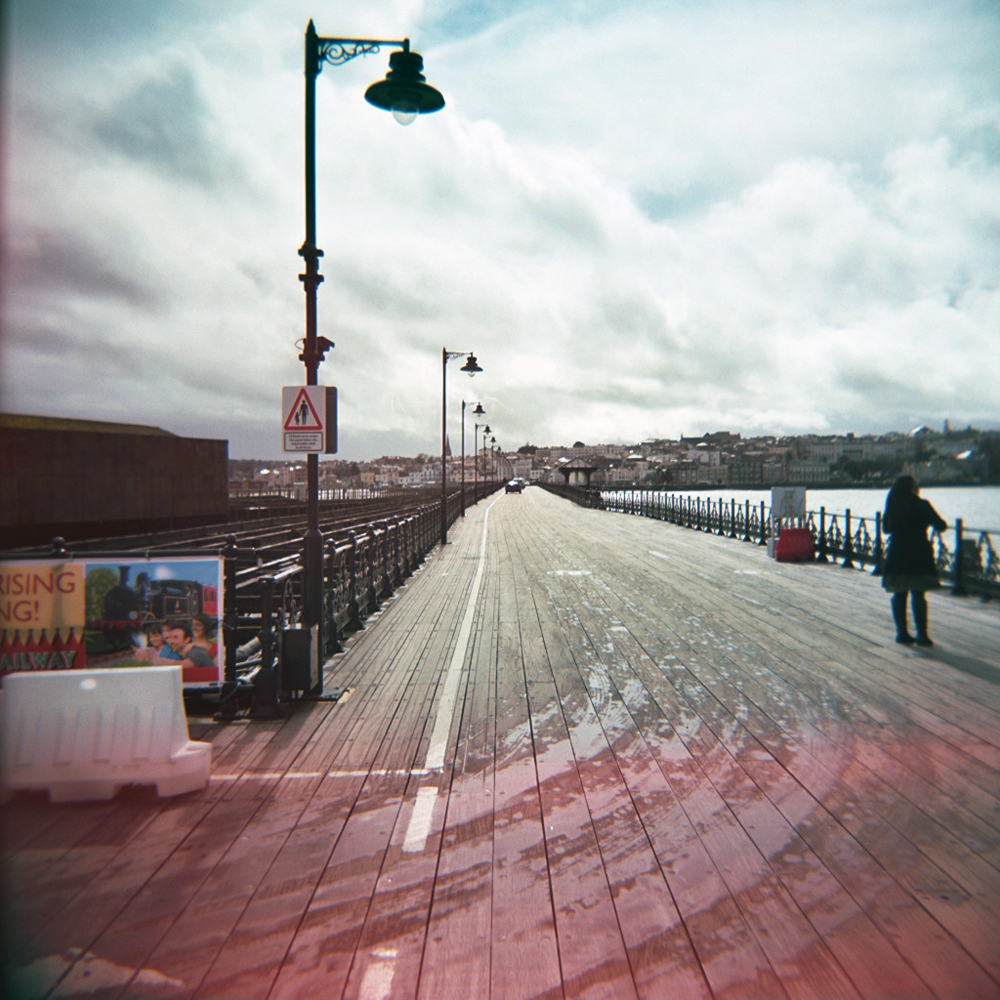
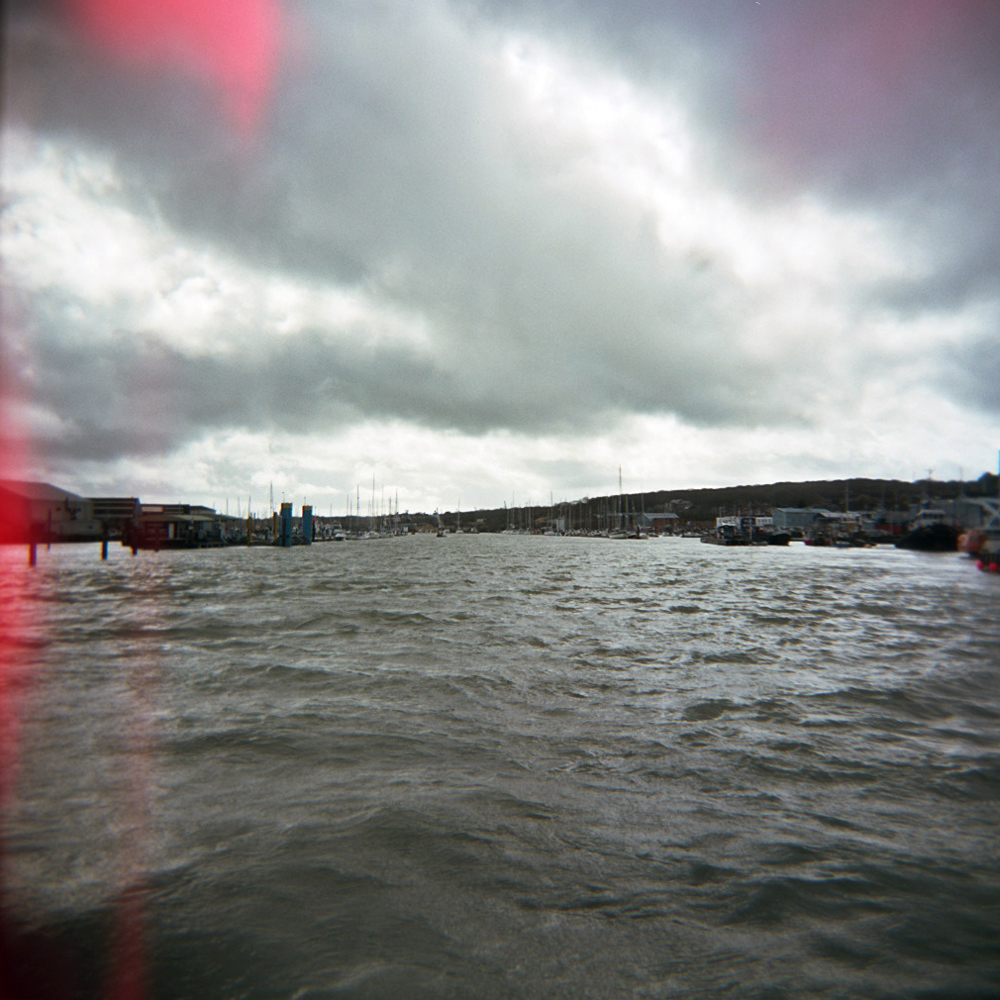
    The ferry from Portsmouth arrived in Ryde (appropriately) where I disembarked into rays of sunshine bursting between the clouds. I clipped in and headed for the main road to Newport. Turning right for a short cut through a housing estate to catch the road to Cowes it started to absolutely dump it down with rain which was a bit concerning. However the shower finished as quick as it started, and that was the last of the rain that I saw all day. As I popped out onto the Cowes road I spotted a sign with a bike overlaying the IoW graphic. Must be a bike friendly route into Cowes I guessed and darted off down the small lane. Two corners later I could see the River Medina down to my left as expected. At Cowes I had to clamber aboard my second ferry of the day, the Cowes – East Cowes chain ferry / floating bridge. Cleats and wet steel gangways really don’t go it was a tentative boarding with one had grasping my bike, the other the handrail. All of 2 minutes later I was back on the road, hugging the coast around Egypt Point heading for Gurnard Bay.

    The River Medina from the Cowes Chain Ferry
    The River Medina from the Cowes Chain Ferry
    Gurnard Bay
    Gurnard Bay

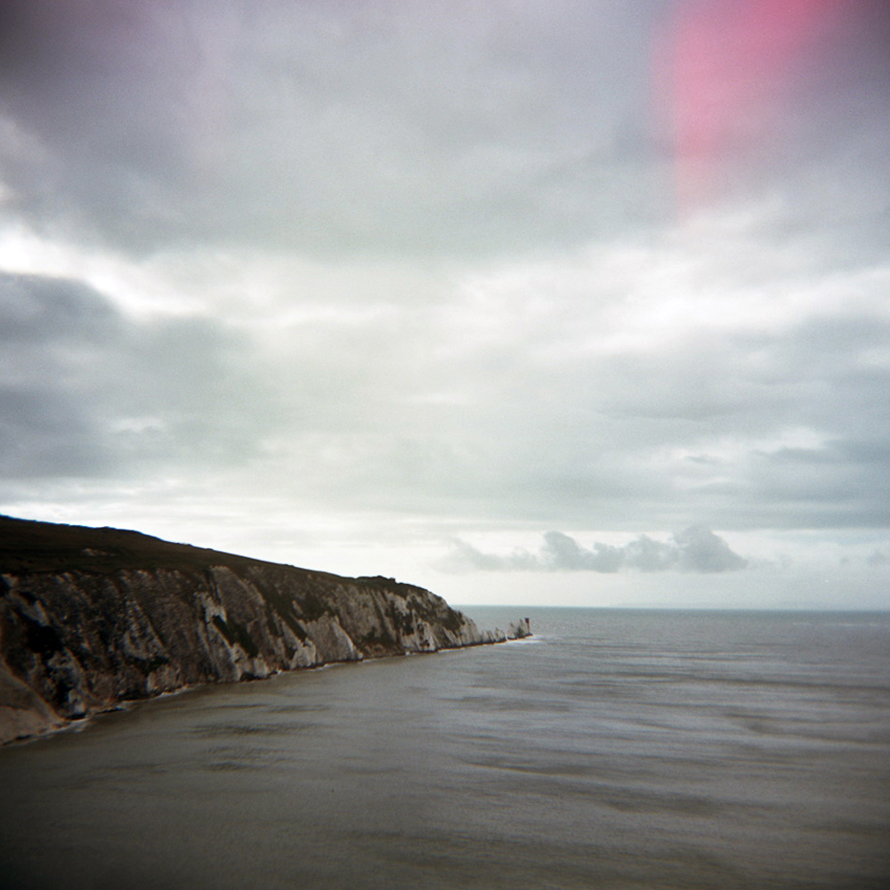
    There the road cut back inland and uphill. The next few miles were rolling, winding wet roads glistening sliver in the sunshine, though woodland and farmland, with occassional glimpes of the New Forest back on the mainland across the Solent. The road continued to roll up and down before a long gentle descent back to the coast at Yarmouth. Then it was back inland and rolling countryside until I hit the more built up area around Freshwater, and then arrived at the western tip of the island at The Needles.

    The Needles
    The Needles

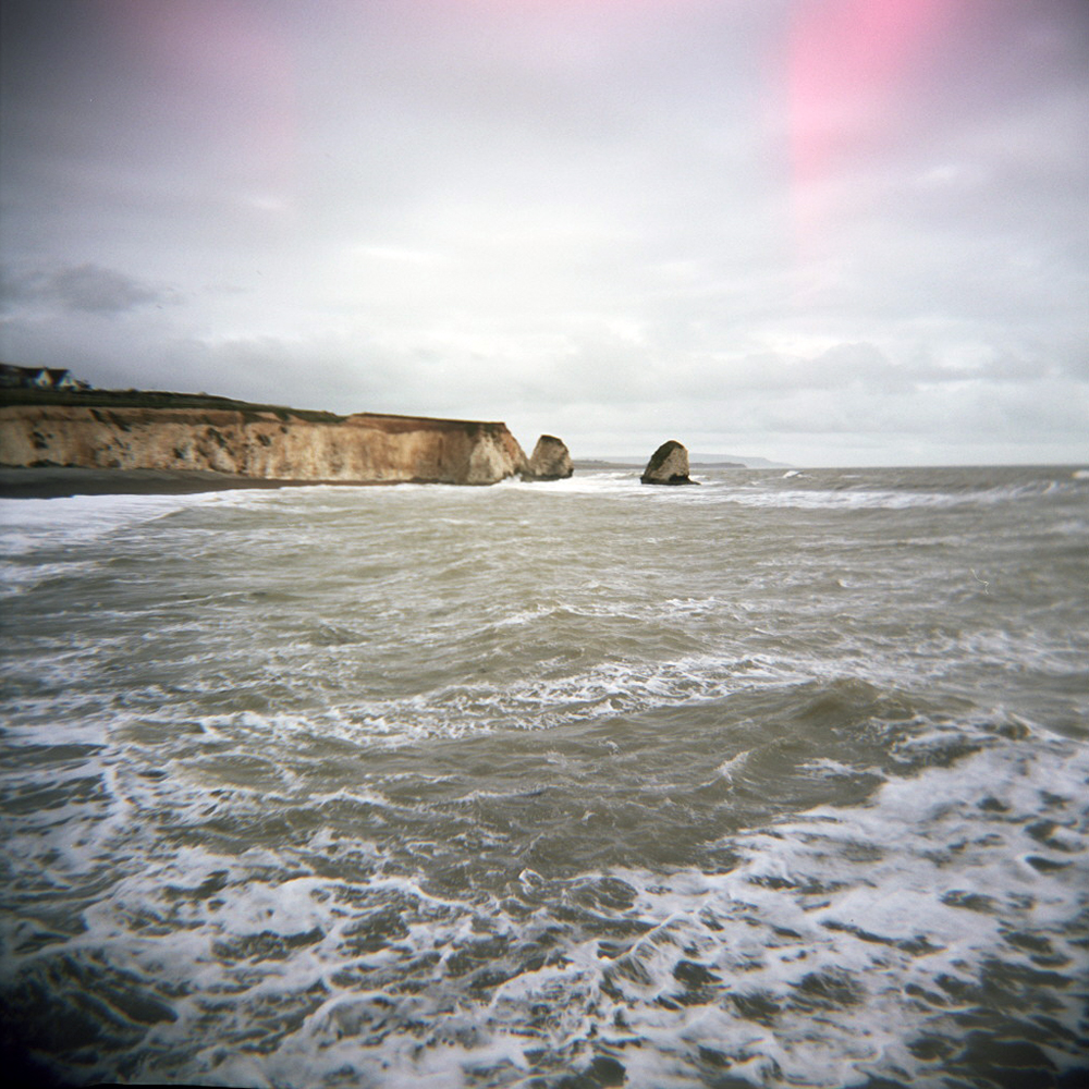
    Turning around and retracing my wheel tracks half a mile back along the same road I forked right and headed for the south coast down a fast, narrow, high hedged descent into Freshwater Bay, where waves were crashing onto the beach. This was a sign of what was to come…

    Freshwater Bay
    Freshwater Bay

    In my optomism I thought that even though I knew it would be windy, the prevailing wind would be south and south westerly all day. So a headwind on the relatively sheltered north side as I headed west, but a tail(ish)wind on the exposed south coast.

    Nope. As I crested the hill out of Feshwater Bay and saw the south west coast stretch out in front of me I was hit by a wall of wind into my face, when I expected a helpful shove over my shoulder. To be fair I had been warned to fear the wind on Military Road.

    The Military Road
    The Military Road
    Looking out towards France
    Looking out towards France

    However I’d still rather forget the next 10 miles of so from here to the start of the climb up past Blank Gang Chine. It took the best part of an hour to cover 10 miles with the occassional obscenity screamed into the wind. And at one point even thinking “sod this, I’ll turn left and head back up to Newport and get the ferry home”. Of course cyclists are stubborn, pain loving idiots sometimes (most of the time) so I didn’t. I carried on. It wasn’t pretty. Pedalling squares doesn’t come close. Then I got to the sharpest, longest climb of the day. Awesome, just what I needed. As I slowly ground up past Black Gang Chine (I’d like to say spin, but it was definitely a grind) the thought of an energy saving descent down the other side kept me going. Idiot. As I topped out over the hill I was hit by another wall of wind. Great, I love pedalling down hills.

    Despite the wind I managed to pick up quite a bit of speed in the run down into Niton. Unfortunately, due to a lumpy surfaced one way system and a junction, I couldn’t carry the momentum onto the next climb up through St. Lawrence. Then followed another long descent down to Ventnor, where I swung down a 25% zigzag road on to the seafront. When I originally planned this ride I intended to stop for a pub lunch in Ventnor and to sample a local ale, as seems to be becoming my Tourist Trophy tradition. However due to a late start because of the weather, the fact I was behind schedule due to the wind in the last 15 miles, I decided to crack on. I also realised that there was no way I was going to enjoy the 25% climb out of Ventnor on a full stomach.

    As I (slowly) climbed up out of Ventnor towards Upper Bonchurch I realised that I really did need some sustenance of some kind. Just as this thought passed through my mind I spotted a tea gardens on the other side of the road. Time for tea and cake…

    IMG_20130316_182755

    Ah, the restorative powers of tea and fruit cake! Back on the bike, heading uphill and still into the wind I felt like my legs were functioning again. The eastern side of the island is more populated than the western side so the towns started to come thick and fast. First Shanklin, which quickly gave way to Sandown. There was something slightly sinister and depressing about Sandown sea front, closed down amusements and hotels, and dirty white foam blowing off the sea over the promenade wall.

    I followed the road as it turned away from the coast and over a hill, before rolling into Bembridge. I knew I was on the final stretch back to Ryde as I passed the house boats at Bembridge Bay.

    Bembridge Bay
    Bembridge Bay

    It’s amazing how you forget your heavy, tired legs when you know you only have a few miles left. I suddenly found I had the power to sprint up the small hills puncheur style. OK, sprinting might be pushing it, but I wasn’t staring at the floor turning over my lowest gear any more. Joining the main road into Ryde I flew down the hill towards the sea and back to the ferry terminal. More by luck than judgement I arrived a few minutes before the next ferry was due. Even better there was one bottle of Isle of Wight ale left at the terminal cafe. As the ferry carried me back to the mainland I slumped in my chair, supped my ale, and forgot about the wind that hurt my legs for half the ride. Almost.

    Autosave-File vom d-lab2/3 der AgfaPhoto GmbH

    Strava link: http://www.strava.com/activities/44644347

    Ride Stats:

    Miles ridden: 65

    Feet climbed: 4400

    Average speed: 14 mph (stupid wind)

    Slices of fruit cake consumed: 1

    Pots of tea drunk: 1

    Local ale drunk: 1 x Goddard’s Fuggle Dee Dum on the ferry home

    Ferries taken: 3

    Camera use: Holga 120

    Film used: Kodak Portra 160

  • Tourist Trophy 2013 // Stage 2 // February // Kent

    In the early 1990s I spent three years at art school in Canterbury, living in Whitstable in my first year, so for February I decided to return to Kent and ride some roads and visit places I once knew. The ride would take me over the North Downs to the north coast of Kent, along marshland towards Faversham before heading south again and back over the North Downs. Much like a Sussex ride I would enjoy some lumpy hills, followed by a flat bit, and then more lumps. 
It’s a bit of a trek to ride all the way from Brighton to Whitstable and back, so I hopped on the train as far as Ashford. Off the train, a quick glance at the map, and I was off…

    A short ride through the outskirts of town, over the M20, and straight into country lanes. Rather than having to keep referencing a map, I had scrawled route notes on pieces of paper stuffed in a jersey pocket. After a few miles I realised my instructions of ‘first left after Hinxhill’, ‘right at end of road’, ‘second left’, etc, were all very well, but assumed I’d get the first decision correct. I thought I had better reference a map, check a name on signpost, and hope they corresponded. Fortunately they did. According to my notes two more junctions and I would have a short, sharp climb to contend.

    Heading for the North Downs
    Heading for the North Downs

    As I turned onto the hill, I passed a couple of horse riders who, after a quick hello, said “rather you than me”. Oh dear, that obviously meant the summit I thought I could see probably wasn’t. It wasn’t. As I turned a corner the road continued to rise until it crossed the North Downs Way. The view behind me stretched all the way over the Kent Weald and Romney Marsh. After a brief flat section to catch my breath, I whizzed down a long descent before a few miles of gentle, rolling hills and rough country lane tarmac, before another short climb over Chartham Downs.

    Across the North Downs
    Across the North Downs

    From the top of the Downs I could see the Cathedral poking out above Canterbury. This clearly meant I was in for a few miles of freewheeling downhill into the outskirts of the city. Nearing Canterbury I started to recognise roads, passing shops and pubs I once frequented. A short ride through Wincheap (site of my second year abode) I crossed the ring road, onto cobbled streets and beyond the city walls. I zig zagged through the city heading for the cathedral thinking it a nice photo opp. However these days they now charge entry to the grounds of the cathedral.

    Canterbury Cathedral gates
    Canterbury Cathedral gates

    So, I took a photo of a gate and headed on through town, past a few pubs I frequented (a lot) as a student. Over the River Stour I passed the house I lived in in my final year, and started the climb up towards the University, where I attended many a gig, and Tyler’s Hill.
    This road was part of my commute between Canterbury and Whitstable in the summer of ‘91, riding in the sun on a Marin Palisades listening to tapes of indie tunes on a Walkman. Rather than riding straight into Whitstable, this time I turned off towards Herne Bay, and descended by road through woodland I once rode around on the Marin at weekends. Exiting the woodland there was a short stretch across flat grassland, over the A2 and into the outskirts of Herne Bay.
    Once into Herne Bay I caught my first view of the North Sea and dropped down onto the coastal path between Herne Bay and Whitstable. The rutted concrete of the coastal path wasn’t exactly skinny high pressure tyre friendly, as I vibrated past Swalecliff (passing the holiday park where my grandparents had a static caravan in the 60s & 70s) and Tankerton before stopping in Whitstable for lunch.

    The Isle of Sheppey and the Thames Estuary
    The Isle of Sheppey and the Thames Estuary

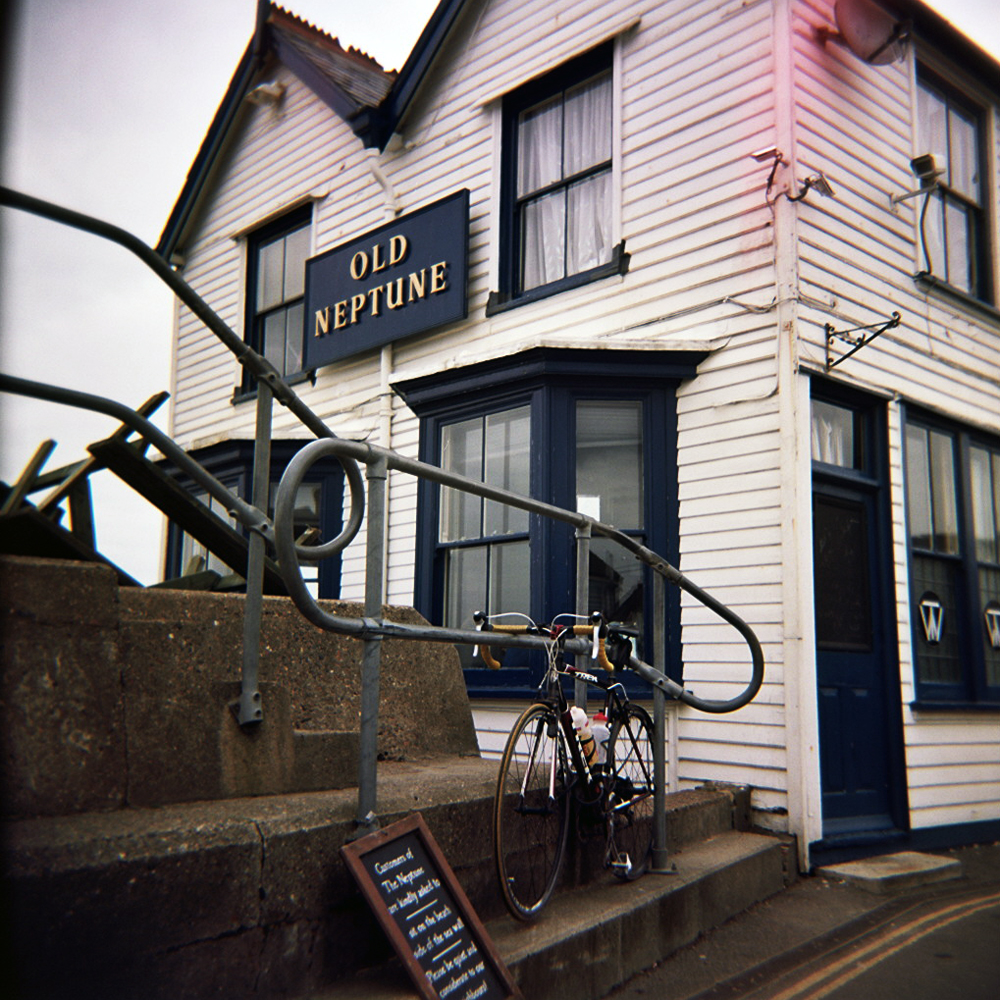
    Whitstable was where I drifted away from road cycling and bought my first mountain bike. A red Trek 810, from Herbert’s Bikes on the High Street. It was nicked from the garden shed on the trip home. A Marin was bought in the sales with the insurance money. It was also the first place I lived by the sea, discovering the visual joy of a simple horizon line in one direction, apart from where the Isle of Sheppey breaks it. It’s probably no coincidence that for three years I predominantly made paintings which contained nothing but straight lines. The horizon from Whistable beach is no longer only broken by Sheppey, but also the new wind farm in the Thames Estuary, which I could just make out in the winter mist in the distance. I popped into The Old Neptune on the beach for lunch, and as I walked in Syd era Pink Floyd was playing on the stereo. Pretty much the same as it did the last time I was here in the early ‘90s.

    The Old Neptune
    The Old Neptune

    After lunch I rode west across Graveney Marshes towards Faversham, and then turned back south. This was the only part of route which wasn’t on the two maps I had, and the first time my notes let me down. I didn’t get lost as such, I knew which places on signposts I needed to get to, but didn’t necessarily get to them on the roads I planned. The roads also started to rise again at this point, climbing back up over the North Downs. There were a few miles of that annoying kind of stealth climbing – a flat looking road that makes your thighs ache despite not going as fast as you think you should be. There was a short blast along the A252 and A251 through Challock, before turning off, past Stour Art and dropping through King’s Wood towards Wye. Dropping through the trees the view suddenly opened up on the right and I could see how far I had to drop still. So head down and on the drops, I swept round corners, avoiding pot holes and oncoming cars.

    the start of the descent through Kings Wood
    the start of the descent through Kings Wood

    At Wye I got caught at an old fashioned level crossing, where the man has to come out and manually open the gates for you. Once the train had passed it was a swift zip around the one way system, and onto the road towards Hinxhill again. Over the M20 and back into Ashford with time for a cuppa before the train home. Sat on the train, my legs ached, I watched the sun set over Romney Marsh, and the English Channel. A glorious end to a rather lovely day.

    Strava link: http://app.strava.com/activities/41092136

    Stats:

    Miles ridden: 60

    Feet climbed: 2600

    Average speed: 15 mph

    Local ales consumed: 1 x Shepherd Neame Kent’s Finest

    Veggie burgers consumed: 1 (in honour of my art student years)

    Camera used: Holga 120

    Film used: Kodak Portra 160